Never have I felt this MOTIVATED to write a review, much less about a hiking trail.
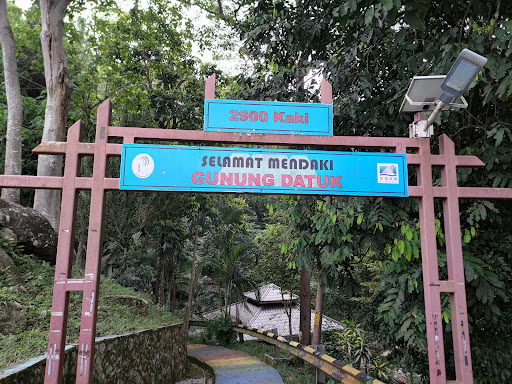
Difficulty: Intermediate
Quite a number of steep areas in this area, but most of them have ropes to help you traverse. I won't recommend this for first time hikers unless you live an active lifestyle.
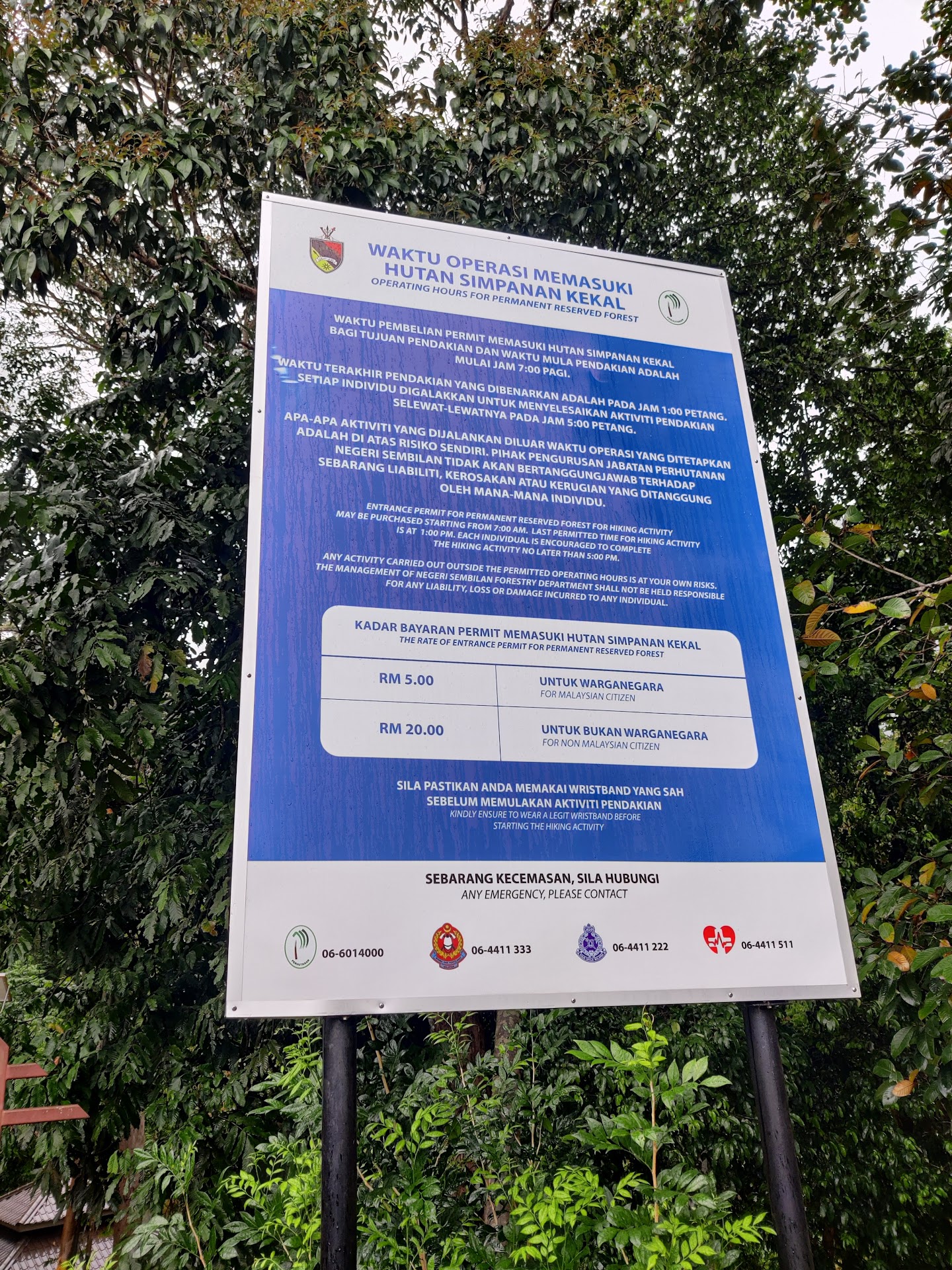
Facilities: Have what you need
I didn't check all of the facilities, but the cleanliness of the toilet is worth mentioning. Male toilet even had one "TOILET VIP", but the door was broken and you can't lock it. So much for the VIP treatment (at least it's free.) Oh, and you can shower here.
There's a running mountain water spring near the entrance when you register. It feels heavenly after the hike, and I was told it's drinkable. As of writing this review I don't feel any discomfort, I'll update this if I do fall sick lol
The new parking spot is "two-level" but it can be a little worrisome since it looks like a landslide ready to happen.
If you're not interested about how I felt about this hike, then you can stop reading at this point.
.
.
.
.
.
.
.
On to the juicy part of this review:
I. AM. ABSOLUTELY. MALDING. AS. OF. WRITING. THIS. REVIEW.
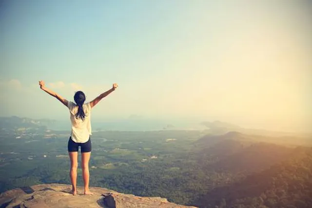
It's been a while since I've gone out of my way to hike, much less when I'm not from around here. So I was pretty excited to challenge myself to this hike. I only had Gasing Hill as reference, so it was quite a challenge for me. Fortunately I'm slightly active, so I took up the challenge. If you've tried Gasing Hill you know how much difference their difficulty can be. I had fun going through the steep areas, fellow hikers kept cheering on me as I stopped to catch my breath (thank you kind souls). Just as I saw the huge rock, my friend told me that we're just 2 more minutes away, and I felt the chilly wind coming my way. It felt absolutely rewarding, even though I was drenched in sweat.
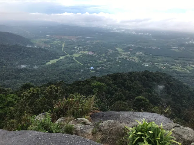
The view was amazing. You wouldn't have thought that you'd be able to see a view like that in Malaysia. No photos will be uploaded to avoid spoilers. You have to see and feel it yourself. I guess that's how people felt climbing Kinabalu, Everest etc.
But my reward was short-lived. Pretty soon I heard a buzz. Then there were two buzzes. Three buzzes.
Then my friend shouted "Dude you should check the view from up here!", and I gave myself one last push and went for the top. You could only imagine the horror of seeing 50 bees at the apex. I wanted to take out my phone to take a picture, but even a simple wish like that was not permitted as a bee stung on my palm. There were lots of people sitting on top, enjoying the wind and the scenery with the bees. But I snapped. Internally ofc. I went down, leaving my friend behind after telling him I'm done. On my way down, I warned people about the bee situation, giving them some time to mentally prepare themselves. A kind lady mentioned that it could've been the red shirt that I was wearing, so it did help clear a little of my frustrations. It was a one straight descent without any stopping. The frustration and the desire to leave the place overcame my want to rest and stop. Just as I reached the entrance, I noticed the mountain water spring, and a guy told me that it was the drenched sweat that attracted the bees. He said that he brought long sleeves to combat this problem, and wiped off his sweat and he was fine. You may choose to attempt it if you want to, but at your own risk. Apparently it's a recent thing since this guy went during Hari Raya and the bees weren't there. I'd never hike this place again as long as the bees are still there. If you're kind enough to leave an update, please do.
That's all for my review. I need to find back my motivation....
Read more