Jungle Trail 6 things to do, attractions, restaurants, events info and trip planning
Basic Info
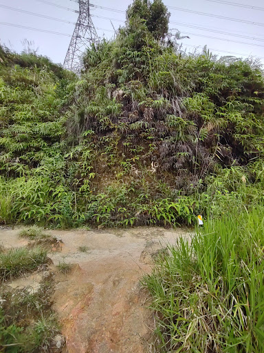
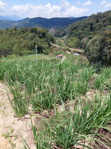
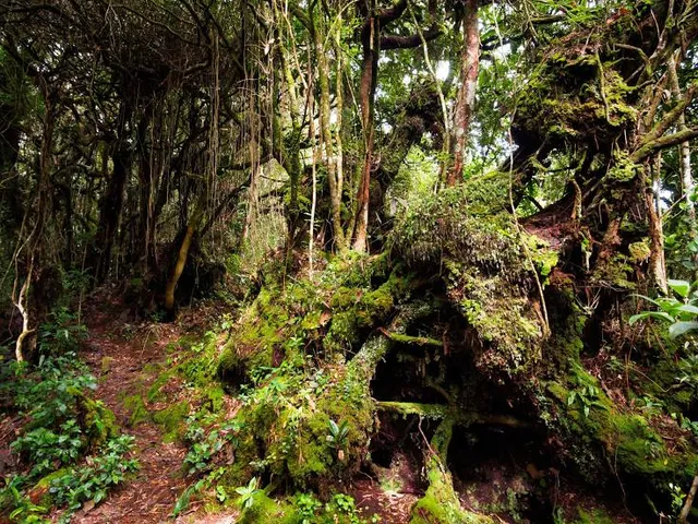
Jungle Trail 6
Tanah Rata, 39000 Tanah Rata, Pahang, Malaysia
3.8(37)
Open until 12:00 AM
Save
spot
spot
Ratings & Description
Info
Outdoor
Adventure
Scenic
Off the beaten path
attractions: , restaurants: Cameron Valley Tea House 2, local businesses:
Open hoursSee all hours
FriOpen 24 hoursOpen
Plan your stay

Pet-friendly Hotels in Pahang
Find a cozy hotel nearby and make it a full experience.

Affordable Hotels in Pahang
Find a cozy hotel nearby and make it a full experience.

The Coolest Hotels You Haven't Heard Of (Yet)
Find a cozy hotel nearby and make it a full experience.

Trending Stays Worth the Hype in Pahang
Find a cozy hotel nearby and make it a full experience.
Reviews
Nearby restaurants of Jungle Trail 6
Cameron Valley Tea House 2

Cameron Valley Tea House 2
4.2
(3K)
$$
Open until 8:00 PM
Click for details