Bukit Lagong
Hike Review
Self-introduction
Personal Standard: Beginner
Equipment and food preparation score: 6/10
Case study preparation score: 6/10
*Initially wasn't going to hike beyond checkpoint 1, case study and preparation only sustain to up to checkpoint 1
Due to other hikers' invitation, we let our intrusive thought win together
Hiker culture: 10/10
Other hikers greet and smile
High energy vibes among hikers
Provide mental support when needed, keep each to other in a healthy and motivated mind (a bit only, the peak, a bit only)
Overall experience: 10/10
Good human interaction, good photo.
Credit to: Caleb Chai (Thank you homie for those beautiful pictures here)
Here is how the story goes ...
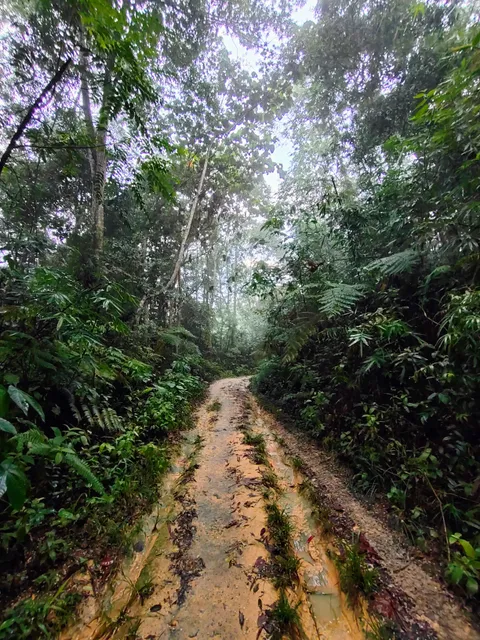
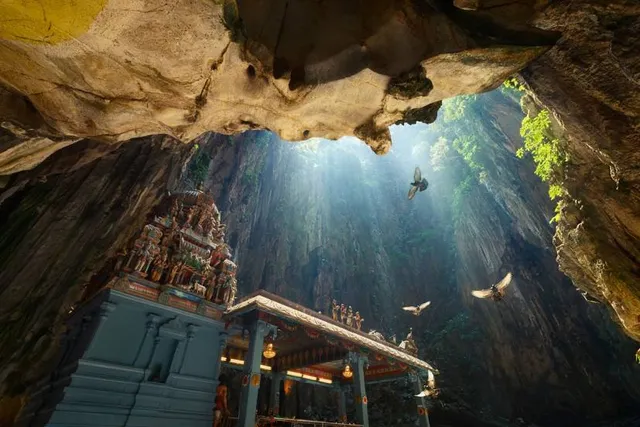
potted in infamous spot from Instagram marked as one of the gunung having the prettiest place scenery in Klang Valley.
Even though initially we survey on checkpoint 1 route and review on youtube video, ALLTRAILS, and google review stating that that ascent even for checkpoint 1 is going to be tiring.
So I was a bit sceptical and quite hard to gather information to the top peak route from the internet here even ALLTRAILS doesn't do the justice too.
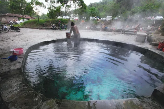
Based on this level of survey and study, we decided to hike in the morning then after that head for the hot spring.
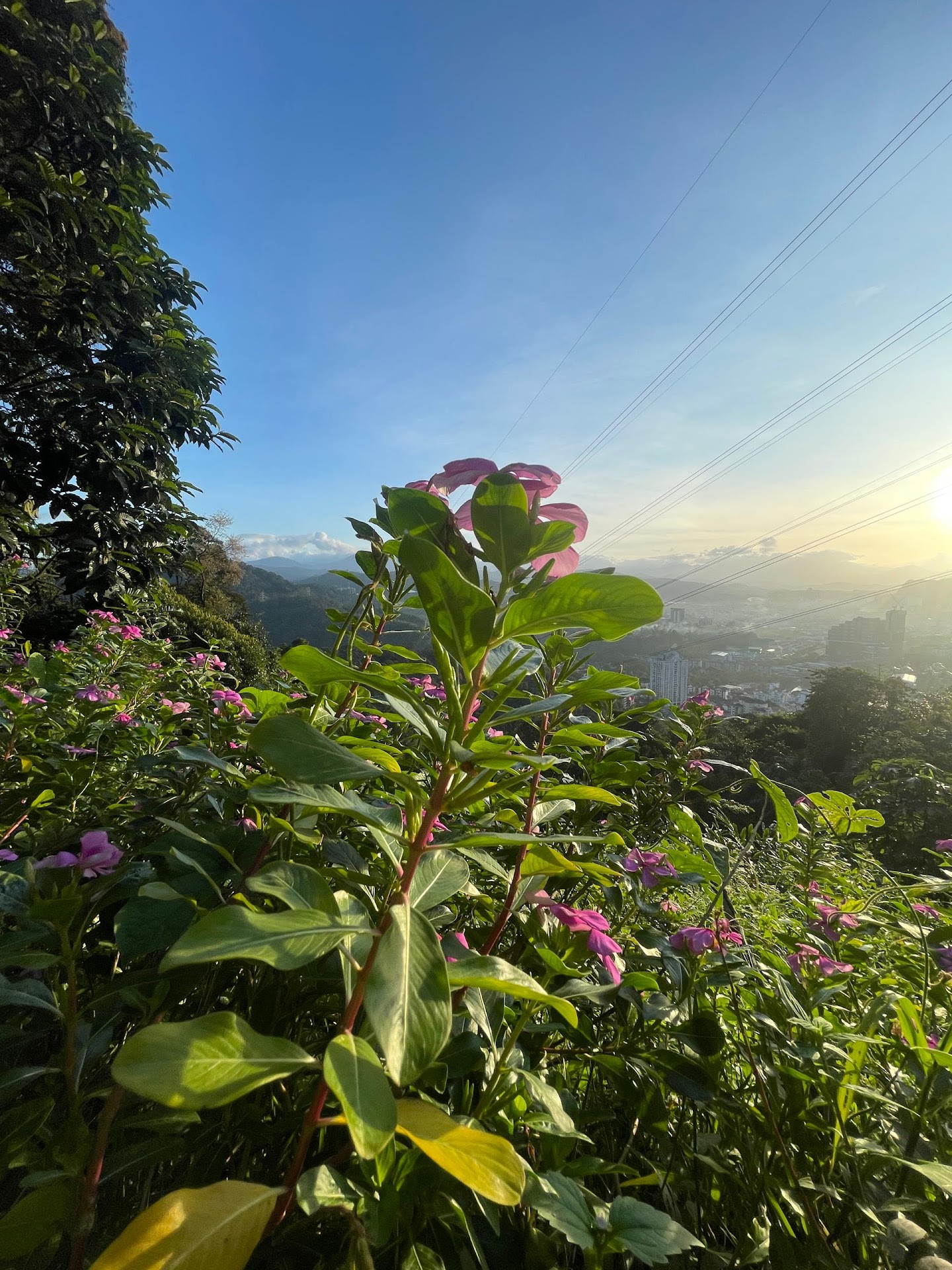
Once we reached to the first checkpoint, those view were beautiful but my team wasnt satisfy and wish to go for more !
HAHA. Me too!
At this moment, our hero came, a kind uncle perfectly briefed us regarding about the culture stating that that would be a uncle actively bring fruits to share at the first checkpoint! (Wow that's interesting!) the path after the first checkpoint we just have to follow the trail all the way to second trails 444m.
" Aku pergi dulu ya ikut trails jer , nanti kita jumpa dekat sana "
Damn. Damn.
With guided direction we head to the second checkpoint and eventually met him.
" Oh korang sudah sampai ! Korang sudah motivate saya nak pergi peak la marilah saya bawak korang pergi "
Then along the way he guided us all the way to the peak !!
How kind! How niceee !
We split it up due to the pace different among teammate and we decided to the peak due to unpredict guide provided from this kind uncle here. Soon we notice something....
We are having insufficient of water....
Due to our initial planning was only hike to chekcpoint 1 hehe.
Even after checkpoint 2 to peak 572m
The path were ascending all the wayyy. The burn from hamstring and quadricep muscle was crying for help. !!!
When having rest those passby hikers were kind enough to spare some snacks and drink for us.
We are so grateful and sorry....
God bless you guys
Total: 4 Beautiful Angels
2 Handsome Gentlemen
for being understandable and saving our life !.
With shear will of determination
We reached to the top!
572M !
We did it ! Thank you for the culture among Bukit Lagong ! You guys pushed us too !.
When it comes to back route here.
It headed to the different route here.
Follow Tok Batin Fishing Pond sign prepared if you would like to have a better route without the very steep descending (could be dangerous) then along that you will pass by the orang asli village to the tar road, pass by to the Tok Batin Fishing Pond!
(Remember at the junction left left)
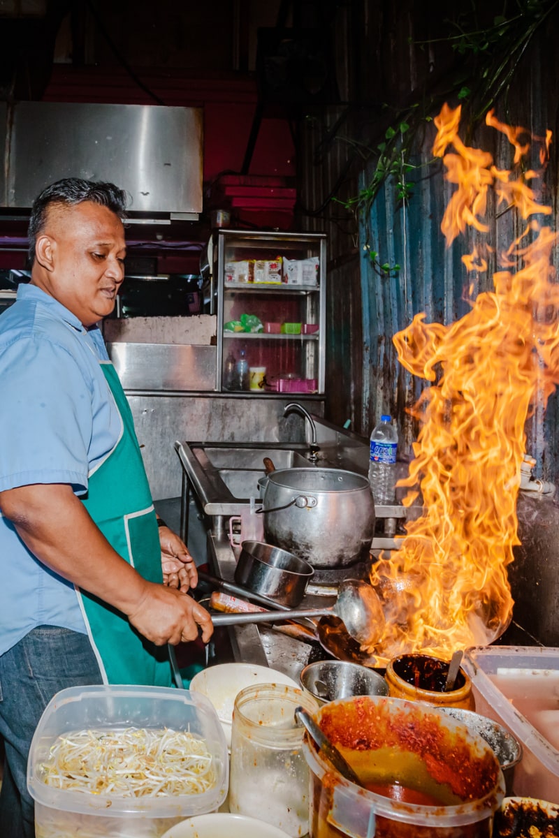
We had our wonderful Teh Ais, and Teh O Ais there.!! Their Teh Ais and Teh O Ais were special brew with good tea that you couldn't find often in Klang Valley!! Real authenticity here.
Remember to enjoy yourself at Tok Batin cafe here first guys!
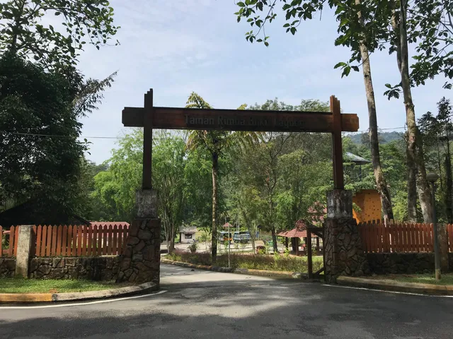
Then you shall pass by bukit lagong theme park like area. Then river you shall spot someone camping beside the river too. A good view and experience to explore too.
Estimated Tar Road distance to car park: 3 KM
Yeap
End
Our beginner and two week once hiker, first timer hike this mountain record: 7:16am - 2:29pm
Duration: 7 hour 17 mins
Complete route to...
Read more