San Nicolás Totolapan Ejido Park things to do, attractions, restaurants, events info and trip planning
Basic Info
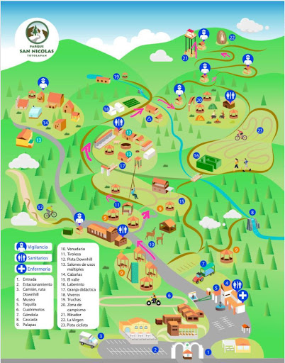
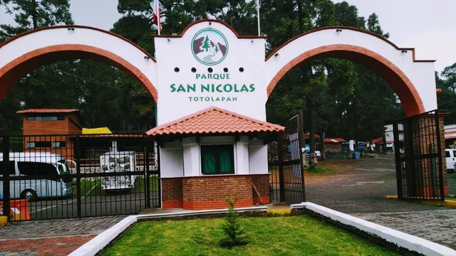
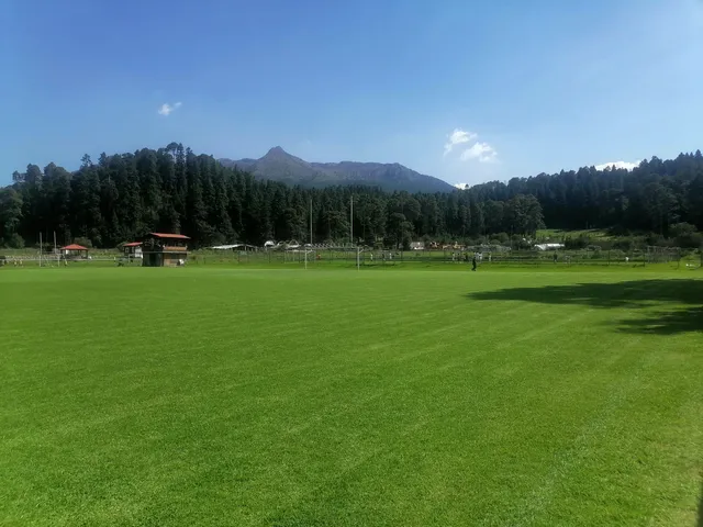
San Nicolás Totolapan Ejido Park
Km 11.5, Picacho-Ajusco, Panoramica, 10900 Ciudad de México, CDMX, Mexico
4.6(3.4K)
Closed
Save
spot
spot
Ratings & Description
Info
Outdoor
Adventure
Family friendly
Pet friendly
attractions: Eco turístico Tepozan Park, restaurants: Cabaña Subidita del Ajusco, Restaurante Monte Alegre, La Campana, Rancho Adventure, Trementineros, Restaurant marieta, María Bonita Ajusco, Cantaritos Ajusco, Finca Los Palomares, Cabaña El Cofrecito, local businesses:
Phone
+52 55 8156 8451
Website
parquesannicolas.com
Open hoursSee all hours
Sun7 AM - 5 PMClosed
Plan your stay

Pet-friendly Hotels in Mexico City
Find a cozy hotel nearby and make it a full experience.

Affordable Hotels in Mexico City
Find a cozy hotel nearby and make it a full experience.

The Coolest Hotels You Haven't Heard Of (Yet)
Find a cozy hotel nearby and make it a full experience.

Trending Stays Worth the Hype in Mexico City
Find a cozy hotel nearby and make it a full experience.
Reviews
Live events

Teotihuacan Balloon Ride & Breakfast at La Gruta
Mon, Feb 23 • 4:45 AM
01000, Mexico City, Mexico City, Mexico
View details

Lucha, Tacos & Beer = Best_ Night Ever
Wed, Feb 25 • 6:00 PM
06700, Mexico City, Mexico City, Mexico
View details

Make Mexican bread with a professional
Tue, Feb 24 • 10:00 AM
11520, Mexico City, Mexico City, Mexico
View details
Nearby attractions of San Nicolás Totolapan Ejido Park
Eco turístico Tepozan Park
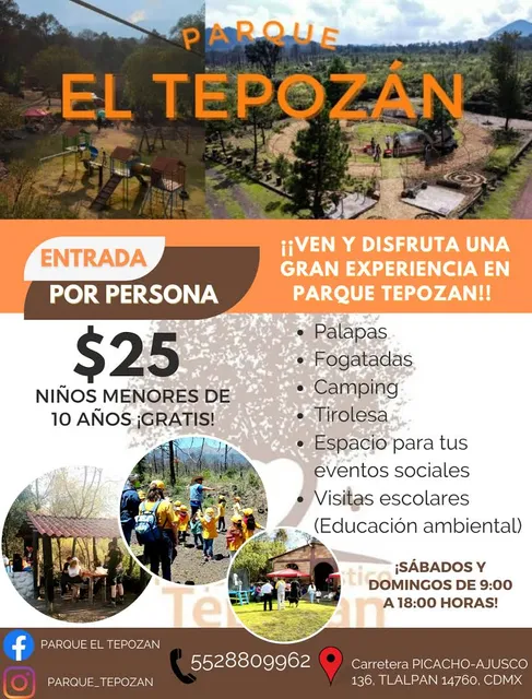
Eco turístico Tepozan Park
4.4
(260)
Closed
Click for details
Nearby restaurants of San Nicolás Totolapan Ejido Park
Cabaña Subidita del Ajusco
Restaurante Monte Alegre
La Campana
Rancho Adventure
Trementineros
Restaurant marieta
María Bonita Ajusco
Cantaritos Ajusco
Finca Los Palomares
Cabaña El Cofrecito
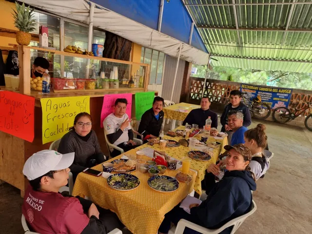
Cabaña Subidita del Ajusco
2.6
(18)
Closed
Click for details
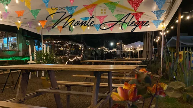
Restaurante Monte Alegre
4.3
(325)
Closed
Click for details
La Campana
4.6
(43)
Closed
Click for details
Rancho Adventure
4.1
(135)
Closed
Click for details


The hit list


Plan your trip with Wanderboat
Welcome to Wanderboat AI, your AI search for local Eats and Fun, designed to help you explore your city and the world with ease.
Powered by Wanderboat AI trip planner.