Te Mata Peak things to do, attractions, restaurants, events info and trip planning
Basic Info
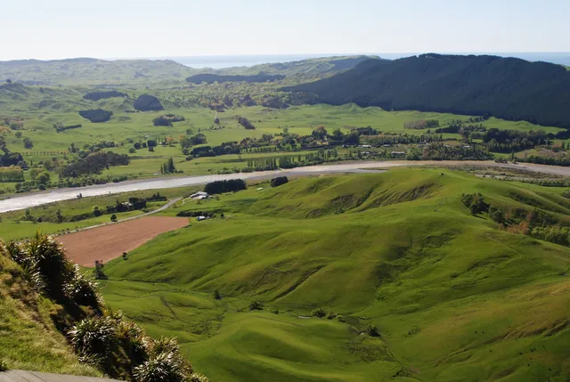
Te Mata Peak
Te Mata Peak Road, Tuki Tuki 4130, New Zealand
4.9(1.1K)
Closed
Save
spot
spot
Ratings & Description
Info
Outdoor
Scenic
Adventure
attractions: , restaurants: Peak House, local businesses: Te Mata Peak, Te Mata Peak
Website
tematapark.co.nz
Open hoursSee all hours
Wed5:30 AM - 10 PMClosed
Plan your stay

Pet-friendly Hotels in North Island
Find a cozy hotel nearby and make it a full experience.

Affordable Hotels in North Island
Find a cozy hotel nearby and make it a full experience.

The Coolest Hotels You Haven't Heard Of (Yet)
Find a cozy hotel nearby and make it a full experience.

Trending Stays Worth the Hype in North Island
Find a cozy hotel nearby and make it a full experience.
Reviews
Live events

Fantasy Pack - Special Edition Gift Card
Fri, Mar 28 • 11:01 AM
Secret Location Napier, 00000
View details
Nearby restaurants of Te Mata Peak
Peak House
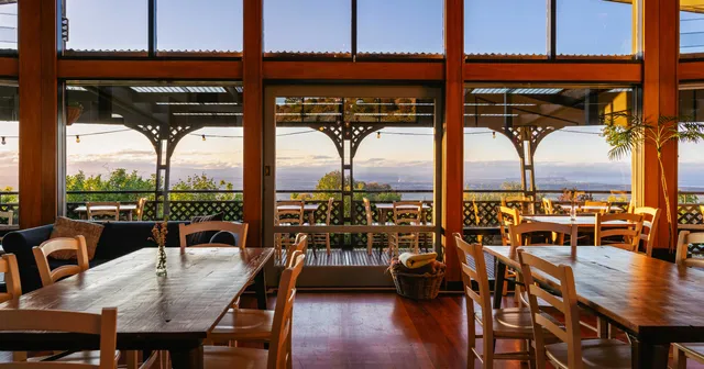
Peak House
4.7
(454)
$$
Open until 12:00 AM
Click for details
Nearby local services of Te Mata Peak
Te Mata Peak
Te Mata Peak

Te Mata Peak
4.9
(928)
Click for details
Te Mata Peak
4.8
(268)
Click for details