Rota Vicentina things to do, attractions, restaurants, events info and trip planning

Basic Info
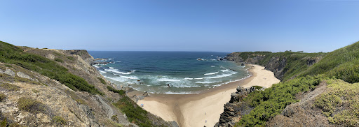
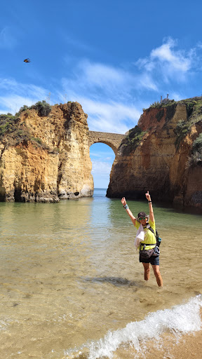
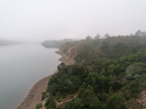
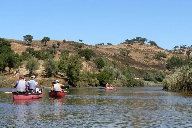
Rota Vicentina
Av. Teófilo da Trindade Nr 6, 7630-124 Odemira, Portugal
4.7(394)
Closed
Save
spot
spot
Ratings & Description
Info
Outdoor
Adventure
Scenic
Off the beaten path
Pet friendly
attractions: Ecotrails, restaurants: Sport Clube Odemirense, O Escondidinho, O Tarro, Duo Mira, Café-restaurante Ponte do Mira, Café-restaurante Ponte do Mira, Indian restaurant cheema, Delhi's Belly sushi bar & cafe, AB MOMO HOUSE, Spot24h Odemira, local businesses:
Phone
+351 283 327 669
Website
rotavicentina.com
Open hoursSee all hours
Thu10 AM - 1 PM, 2 - 5 PMClosed
Plan your stay

Pet-friendly Hotels in Odemira
Find a cozy hotel nearby and make it a full experience.

Affordable Hotels in Odemira
Find a cozy hotel nearby and make it a full experience.

The Coolest Hotels You Haven't Heard Of (Yet)
Find a cozy hotel nearby and make it a full experience.

Trending Stays Worth the Hype in Odemira
Find a cozy hotel nearby and make it a full experience.
Reviews
Nearby attractions of Rota Vicentina
Ecotrails
Ecotrails
4.3
(12)
Closed
Click for details
Nearby restaurants of Rota Vicentina
Sport Clube Odemirense
O Escondidinho
O Tarro
Duo Mira
Café-restaurante Ponte do Mira
Café-restaurante Ponte do Mira
Indian restaurant cheema
Delhi's Belly sushi bar & cafe
AB MOMO HOUSE
Spot24h Odemira
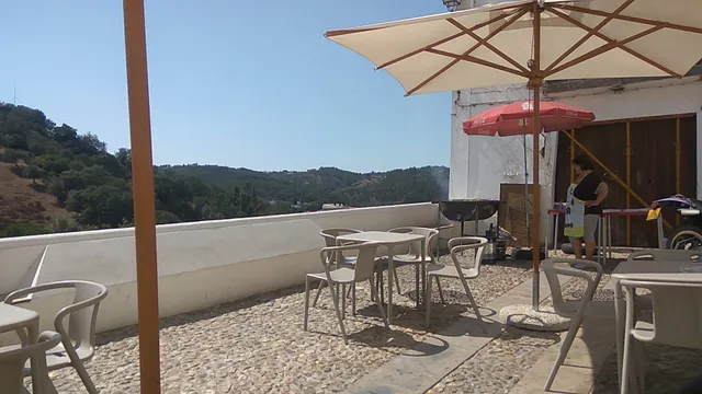
Sport Clube Odemirense
4.4
(62)
Closed
Click for details
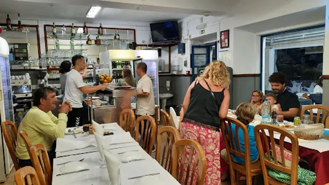
O Escondidinho
4.2
(316)
Closed
Click for details
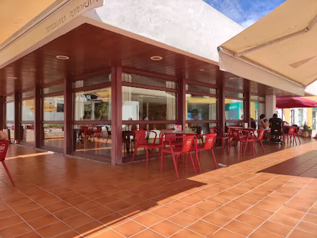
O Tarro
4.3
(823)
Closed
Click for details
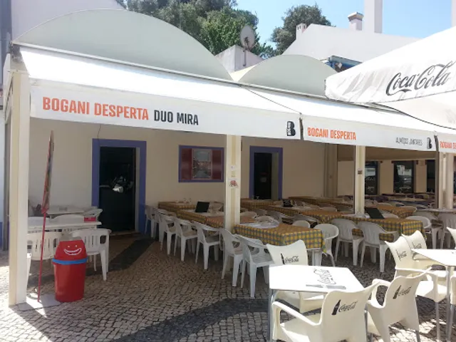
Duo Mira
4.3
(159)
Closed
Click for details