Banjska Stenа things to do, attractions, restaurants, events info and trip planning
Basic Info
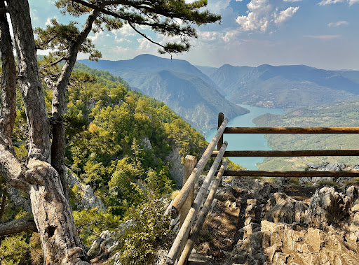
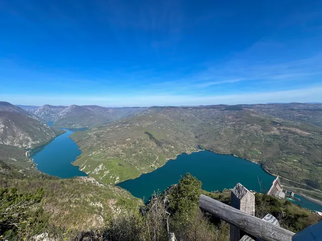
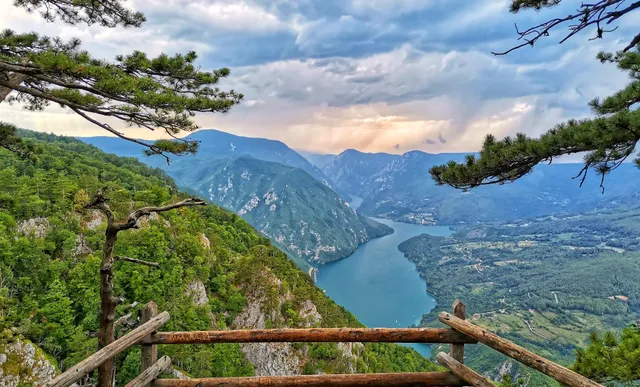
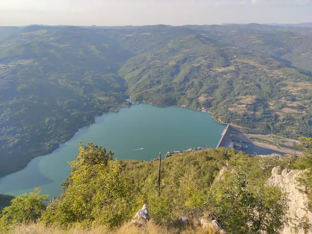
Banjska Stenа
XC22+P8, 172, Rastište, Serbia
4.9(1.6K)
Open until 12:00 AM
Save
spot
spot
Ratings & Description
Info
Outdoor
Scenic
Adventure
Off the beaten path
attractions: Видиковац Зеленика, restaurants: , local businesses: Banjska Stena, Бањска стена - паркинг
Open hoursSee all hours
FriOpen 24 hoursOpen
Plan your stay

Pet-friendly Hotels in Bajina Basta Municipality
Find a cozy hotel nearby and make it a full experience.

Affordable Hotels in Bajina Basta Municipality
Find a cozy hotel nearby and make it a full experience.

The Coolest Hotels You Haven't Heard Of (Yet)
Find a cozy hotel nearby and make it a full experience.

Trending Stays Worth the Hype in Bajina Basta Municipality
Find a cozy hotel nearby and make it a full experience.
Reviews
Nearby attractions of Banjska Stenа
Видиковац Зеленика

Видиковац Зеленика
4.8
(348)
Open until 12:00 AM
Click for details
Nearby local services of Banjska Stenа
Banjska Stena
Бањска стена - паркинг
Banjska Stena
4.9
(459)
Click for details
Бањска стена - паркинг
4.6
(178)
Click for details