Clementi Forest things to do, attractions, restaurants, events info and trip planning
Basic Info
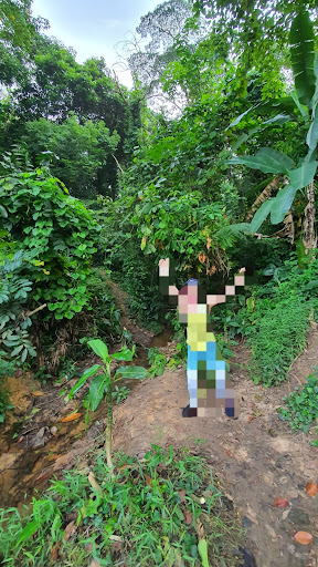
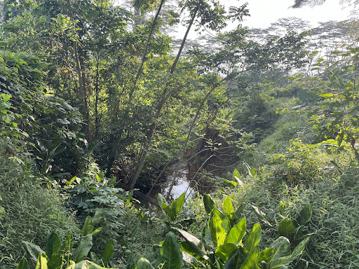
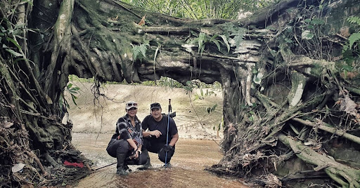
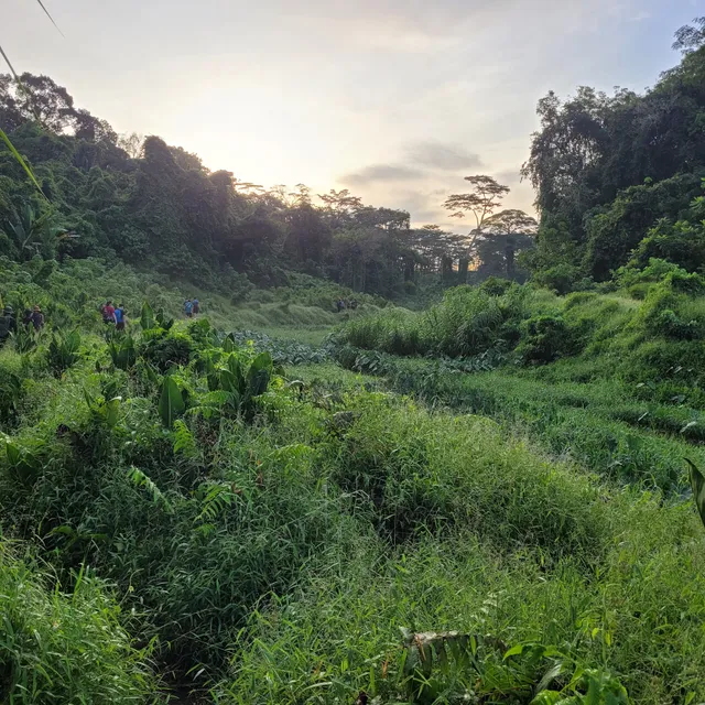
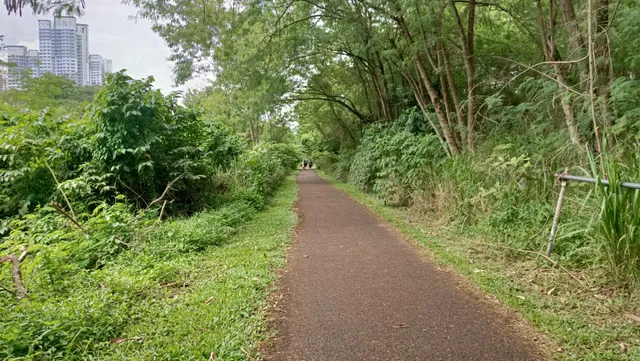
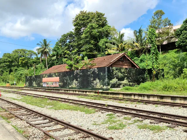
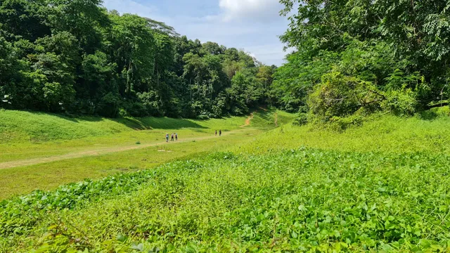
Clementi Forest
Singapore
4.6(91)
Save
spot
spot
Ratings & Description
Info
Outdoor
Adventure
Scenic
Off the beaten path
Pet friendly
attractions: Rail Corridor (Bukit Timah), Bukit Timah Railway Station, Bukit Timah Diversion Canal @ Rail Corridor, Man-made Cascading Water, HGLP Playground, Bukit Timah Railway Station Community Node, Covenant Community Methodist Church, Holland Green Linear Park, Old Holland Field, Maju Forest, restaurants: F'east, 1932 Story, Foodclique, Starbucks - SIM, Teng Sheng Korean BBQ Buffet - Clementi, EagleWings Loft, Koh Wei Bang Chicken Rice, Yeast Side - Sourdough Pizza & Craft Beer (King Albert Park), Tian Tang Hotpot 天汤火锅, Subway, local businesses: SIM Campus, SIM Global Education, Far East Flora Centre, Ngee Ann Polytechnic, BEE AMAZED GARDEN, Ngee Ann Poly, Clementi Road Railway Tunnel, EagleWings Cinematics, Ngee Ann Sports Complex, Escapee Singapore
Plan your stay

Pet-friendly Hotels in Singapore
Find a cozy hotel nearby and make it a full experience.

Affordable Hotels in Singapore
Find a cozy hotel nearby and make it a full experience.

The Coolest Hotels You Haven't Heard Of (Yet)
Find a cozy hotel nearby and make it a full experience.

Trending Stays Worth the Hype in Singapore
Find a cozy hotel nearby and make it a full experience.
Reviews
Live events
Explore street food and vibrant art like a local
Wed, Feb 25 • 9:30 AM
219812, Singapore
View details

Harry Potter: Visions of Magic
Sun, Feb 22 • 11:00 AM
WEAVE, Level B1, Resorts World Sentosa, 8 Sentosa Gateway, Sentosa Island, Singapore, 098269
View details

Cirque du Soleil: KOOZA - Singapore
Sat, Feb 21 • 8:00 PM
12A Bayfront Avenue, 018970
View details
Nearby attractions of Clementi Forest
Rail Corridor (Bukit Timah)
Bukit Timah Railway Station
Bukit Timah Diversion Canal @ Rail Corridor
Man-made Cascading Water
HGLP Playground
Bukit Timah Railway Station Community Node
Covenant Community Methodist Church
Holland Green Linear Park
Old Holland Field
Maju Forest
Rail Corridor (Bukit Timah)
4.6
(281)
Open until 12:00 AM
Click for details
Bukit Timah Railway Station
4.5
(899)
Open until 12:00 AM
Click for details
Bukit Timah Diversion Canal @ Rail Corridor
4.7
(24)
Open until 12:00 AM
Click for details
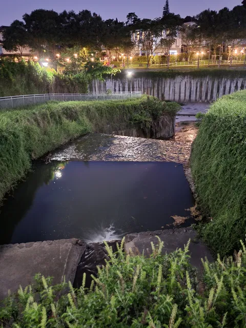
Man-made Cascading Water
4.7
(13)
Open until 12:00 AM
Click for details
Nearby restaurants of Clementi Forest
F'east
1932 Story
Foodclique
Starbucks - SIM
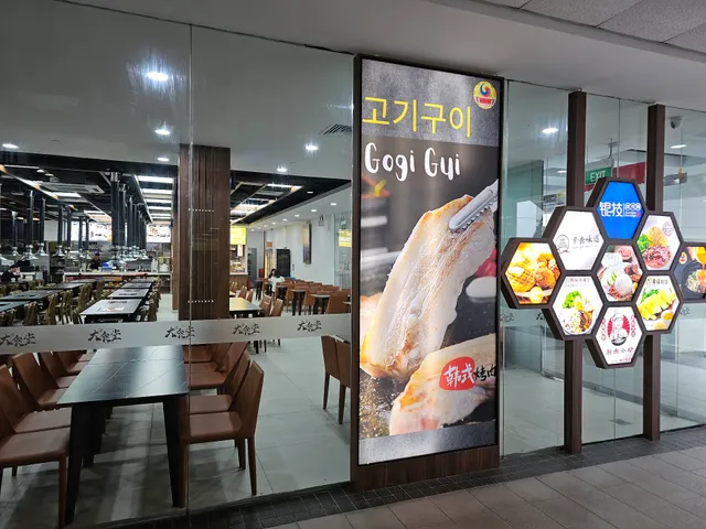
Teng Sheng Korean BBQ Buffet - Clementi
EagleWings Loft
Koh Wei Bang Chicken Rice
Yeast Side - Sourdough Pizza & Craft Beer (King Albert Park)
Tian Tang Hotpot 天汤火锅
Subway
F'east
3.8
(107)
Closed
Click for details

1932 Story
4.1
(307)
Click for details
Foodclique
3.5
(56)
Closed
Click for details

Starbucks - SIM
4.3
(71)
Closed
Click for details
Nearby local services of Clementi Forest
SIM Campus
SIM Global Education
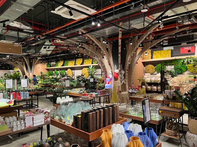
Far East Flora Centre
Ngee Ann Polytechnic
BEE AMAZED GARDEN
Ngee Ann Poly
Clementi Road Railway Tunnel
EagleWings Cinematics
Ngee Ann Sports Complex
Escapee Singapore

SIM Campus
4.1
(180)
Click for details
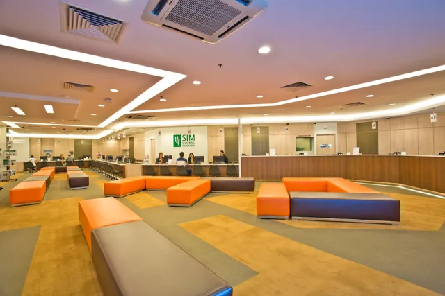
SIM Global Education
4.1
(195)
Click for details
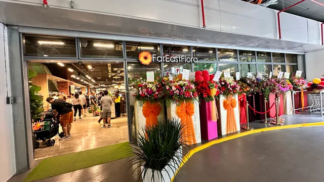
Far East Flora Centre
3.8
(259)
Click for details
Ngee Ann Polytechnic
4.3
(259)
Click for details