Modderfontein Reserve things to do, attractions, restaurants, events info and trip planning

Basic Info
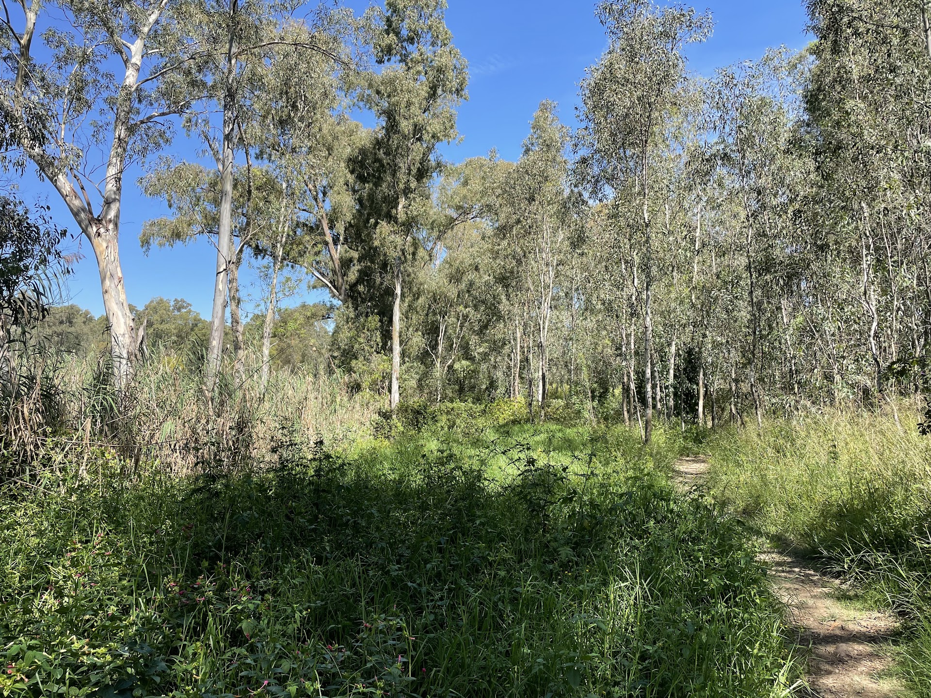
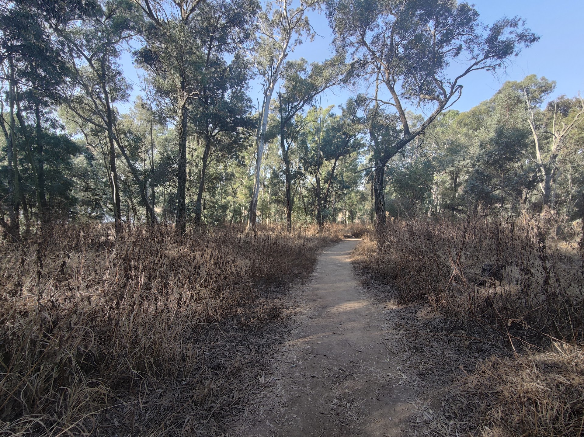
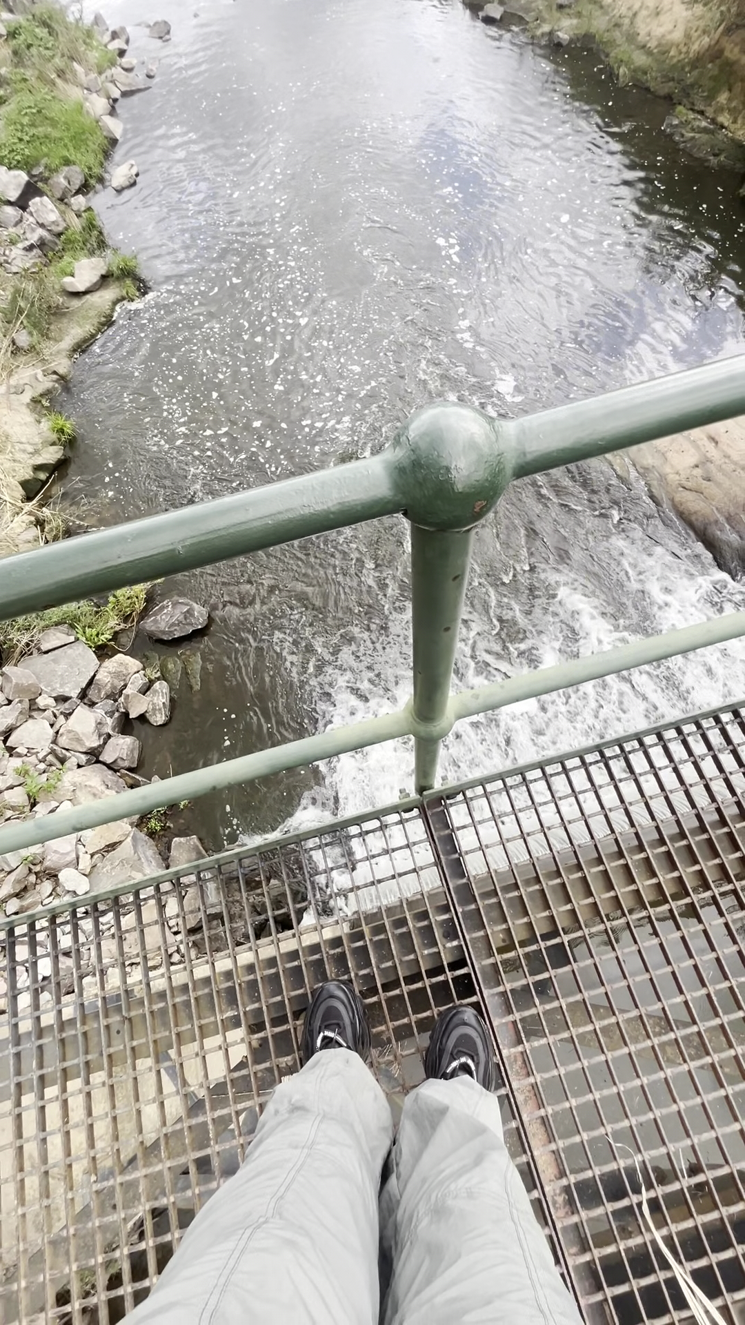
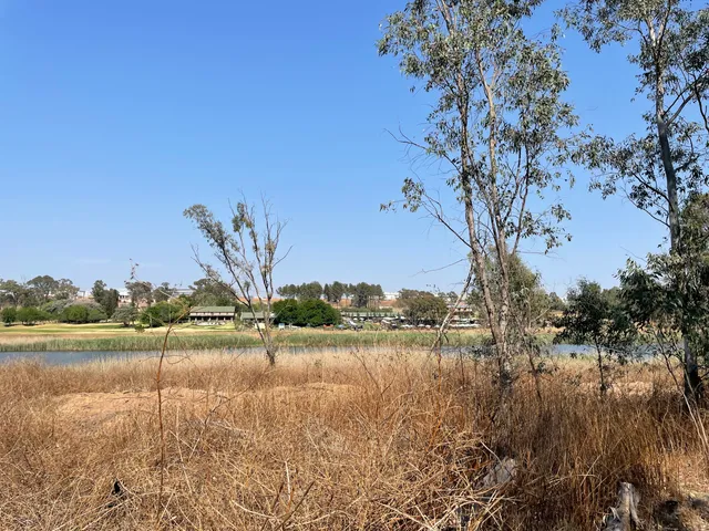
Modderfontein Reserve
Arden Road, Off Ardeer Rd, Modderfontein, Lethabong, 1609, South Africa
4.4(791)
Closed

tickets
Save
spot
spot
Ratings & Description
Info
Outdoor
Adventure
Scenic
Relaxation
Family friendly
Pet friendly
attractions: Fourways Farmers' Market, Taroko Trail Park, Modderfontein Reserve, restaurants: , local businesses:
Phone
+27 81 351 1223
Website
modderfonteinreserve.co.za
Open hoursSee all hours
Mon6 AM - 6 PMClosed
Plan your stay

Pet-friendly Hotels in Johannesburg Ward 32
Find a cozy hotel nearby and make it a full experience.

Affordable Hotels in Johannesburg Ward 32
Find a cozy hotel nearby and make it a full experience.

The Coolest Hotels You Haven't Heard Of (Yet)
Find a cozy hotel nearby and make it a full experience.

Trending Stays Worth the Hype in Johannesburg Ward 32
Find a cozy hotel nearby and make it a full experience.
Reviews
Live events

Ride through Sowetos historic streets
Mon, Jan 26 • 9:30 AM
Johannesburg, Gauteng, 1804, South Africa
View details

Maboneng Street Art & Culture Tour
Mon, Jan 26 • 9:00 AM
Johannesburg, Gauteng, 2094, South Africa
View details

Design your own African-print garment
Mon, Jan 26 • 9:30 AM
Johannesburg, Gauteng, 2107, South Africa
View details
Nearby attractions of Modderfontein Reserve
Fourways Farmers' Market
Taroko Trail Park
Modderfontein Reserve

Fourways Farmers' Market
4.4
(4.1K)
Open until 12:00 AM
Click for details

Taroko Trail Park
4.6
(369)
Closed
Click for details
Modderfontein Reserve
4.5
(156)
Closed
Click for details