Pilatus Hiking Path things to do, attractions, restaurants, events info and trip planning
Basic Info
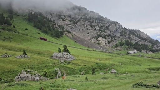
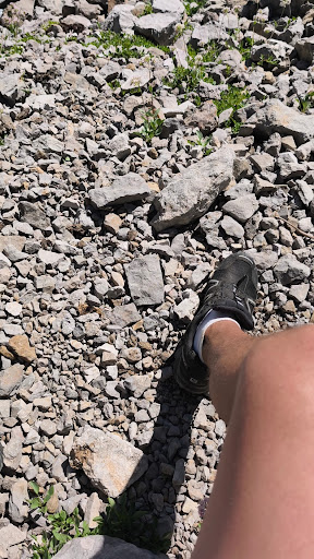
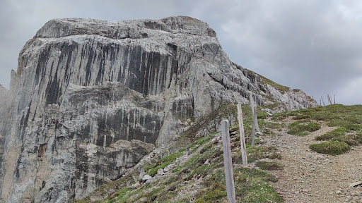
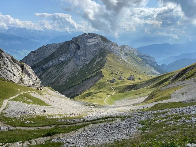
Pilatus Hiking Path
Unnamed Road, 6053, 6055 Alpnach, Switzerland
4.9(69)
Open until 12:00 AM
Save
spot
spot
Ratings & Description
Info
Outdoor
Adventure
Scenic
Off the beaten path
attractions: Blumenpfad, Drachenweg, restaurants: Restaurant Pilatus-Kulm, Restaurant Bellevue, local businesses: Mount Pilatus, Pilatus Kulm
Open hoursSee all hours
SatOpen 24 hoursOpen
Plan your stay

Pet-friendly Hotels in Alpnach
Find a cozy hotel nearby and make it a full experience.

Affordable Hotels in Alpnach
Find a cozy hotel nearby and make it a full experience.

The Coolest Hotels You Haven't Heard Of (Yet)
Find a cozy hotel nearby and make it a full experience.

Trending Stays Worth the Hype in Alpnach
Find a cozy hotel nearby and make it a full experience.
Reviews
Live events
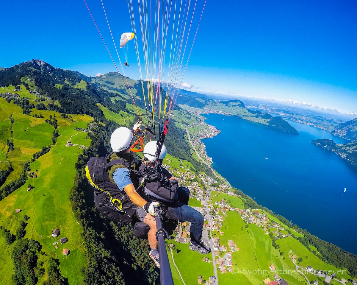
Paraglide over Lucerne
Sun, Feb 22 • 12:30 PM
6370, Stans, Switzerland
View details

A fjord-like lake, boat ride, cheese
Sat, Feb 21 • 5:00 PM
6006, Lucerne, Switzerland
View details

Dive into Lucernes tastes and views
Sun, Feb 22 • 1:00 PM
6003, Lucerne, Switzerland
View details
Nearby attractions of Pilatus Hiking Path
Blumenpfad
Drachenweg

Blumenpfad
4.8
(28)
Open 24 hours
Click for details

Drachenweg
4.9
(17)
Open until 12:00 AM
Click for details
Nearby restaurants of Pilatus Hiking Path
Restaurant Pilatus-Kulm
Restaurant Bellevue
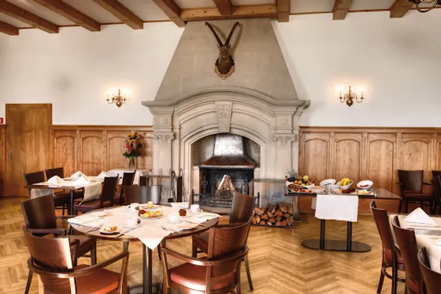
Restaurant Pilatus-Kulm
4.0
(228)
Closed
Click for details

Restaurant Bellevue
3.1
(56)
Closed
Click for details
Nearby local services of Pilatus Hiking Path
Mount Pilatus
Pilatus Kulm
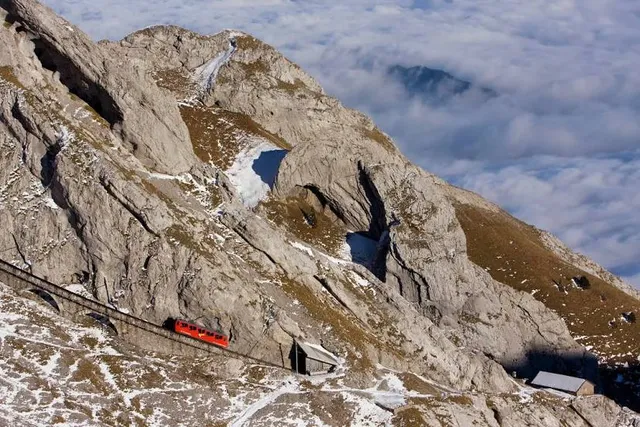
Mount Pilatus
4.8
(2K)
Click for details
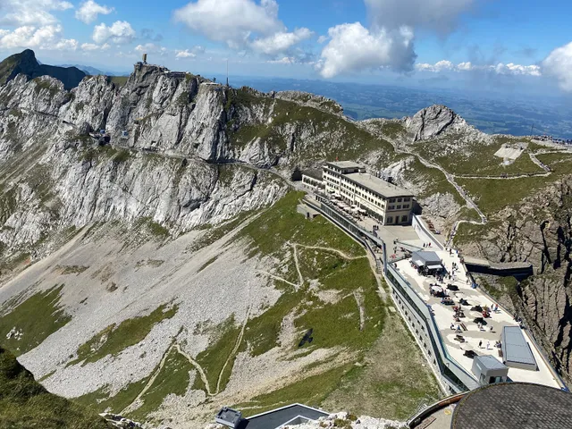
Pilatus Kulm
4.8
(133)
Click for details