Saxer Lücke things to do, attractions, restaurants, events info and trip planning
Basic Info
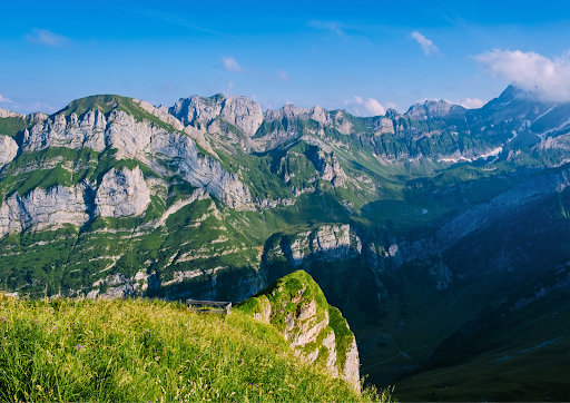
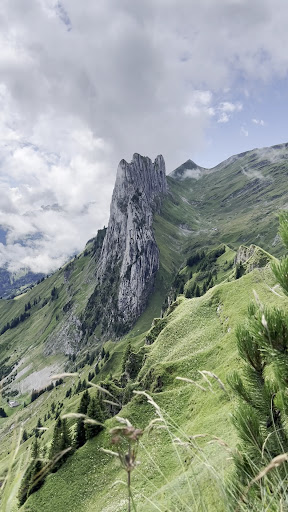
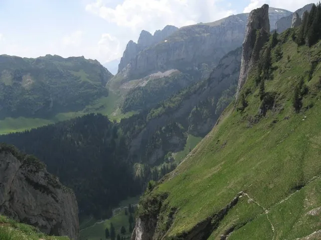
Saxer Lücke
9058 Schwende-Rüte, Switzerland
4.9(108)
Save
spot
spot
Ratings & Description
Info
Outdoor
Adventure
Scenic
Off the beaten path
attractions: Saxer Lücke, Fälensee, restaurants: , local businesses:
Plan your stay

Pet-friendly Hotels in Schwende-Rüte
Find a cozy hotel nearby and make it a full experience.

Affordable Hotels in Schwende-Rüte
Find a cozy hotel nearby and make it a full experience.

The Coolest Hotels You Haven't Heard Of (Yet)
Find a cozy hotel nearby and make it a full experience.

Trending Stays Worth the Hype in Schwende-Rüte
Find a cozy hotel nearby and make it a full experience.
Reviews
Live events
St. Gallen Private Walking-Tour mit Guide
Tue, Feb 24 • 8:00 AM
Schmiedgasse 2, 9000
View details

Wege zum Wesentlichen - Buchpräsentation in St. Arbogast
Wed, Feb 25 • 7:00 PM
88 Montfortstraße 6840 Götzis
View details

3 Tage: Yoga, Meditation und Pranayama | Energetik | Mineralheilbad
Fri, Feb 27 • 4:00 PM
2 Walzenhauserstrasse 9430 Sankt Margrethen
View details
Nearby attractions of Saxer Lücke
Saxer Lücke
Fälensee
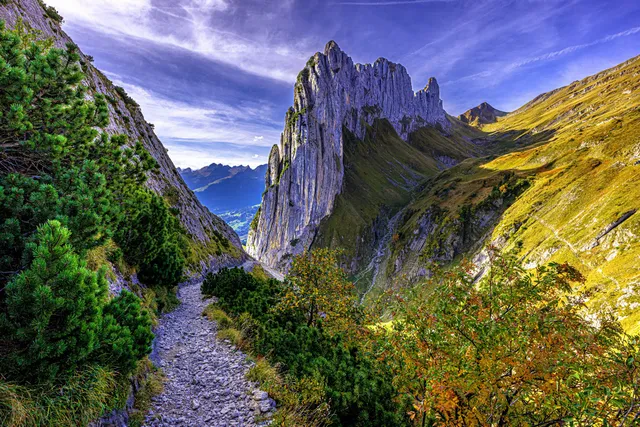
Saxer Lücke
4.9
(121)
Open until 12:00 AM
Click for details
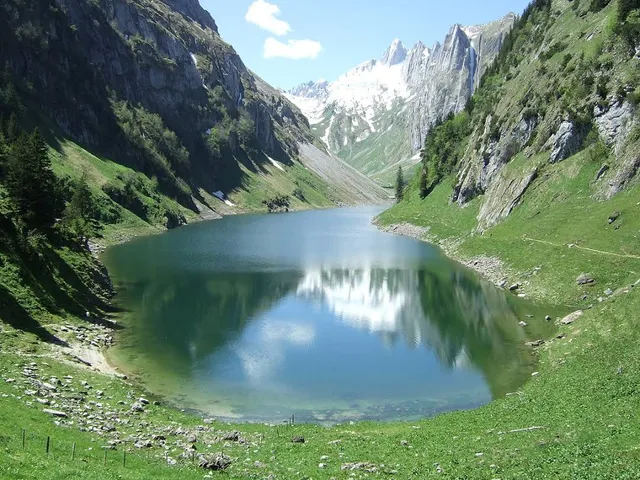
Fälensee
4.8
(115)
Open 24 hours
Click for details