Matanuska Lake Trailhead things to do, attractions, restaurants, events info and trip planning
Basic Info
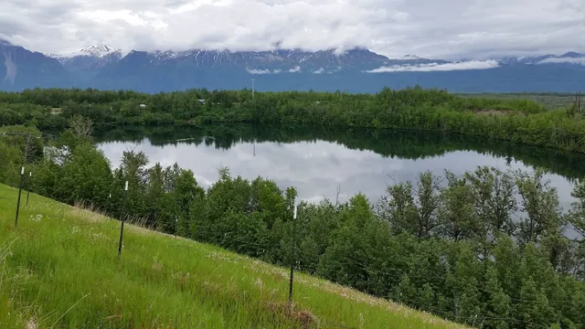
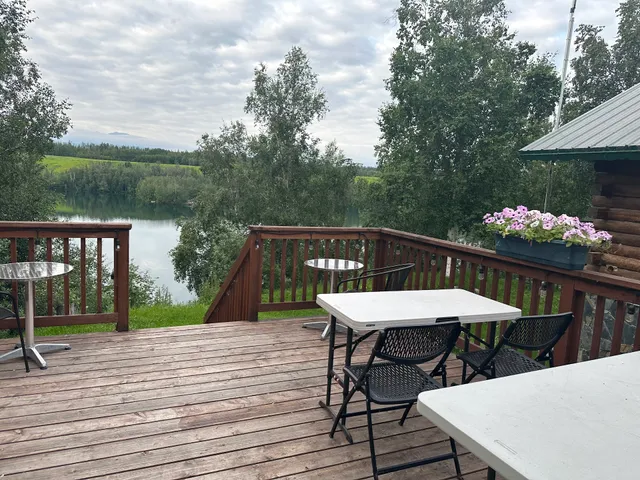
Matanuska Lake Trailhead
4376 Glenn Hwy, Palmer, AK 99645
4.6(71)
Open until 10:00 PM
Save
spot
spot
Ratings & Description
Info
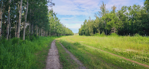
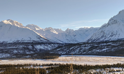
Outdoor
Scenic
Adventure
Family friendly
Pet friendly
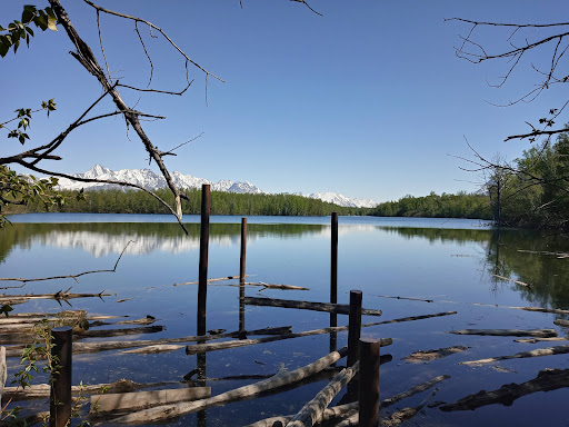
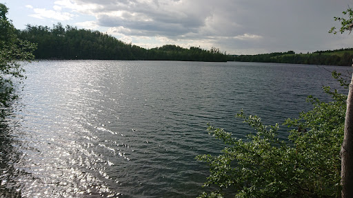
attractions: Matanuska Lake, restaurants: May Asian Cuisine, local businesses:
Open hoursSee all hours
Thu8 AM - 10 PMOpen
Plan your stay

Pet-friendly Hotels in Alaska
Find a cozy hotel nearby and make it a full experience.

Affordable Hotels in Alaska
Find a cozy hotel nearby and make it a full experience.

The Coolest Hotels You Haven't Heard Of (Yet)
Find a cozy hotel nearby and make it a full experience.

Trending Stays Worth the Hype in Alaska
Find a cozy hotel nearby and make it a full experience.
Reviews
Live events
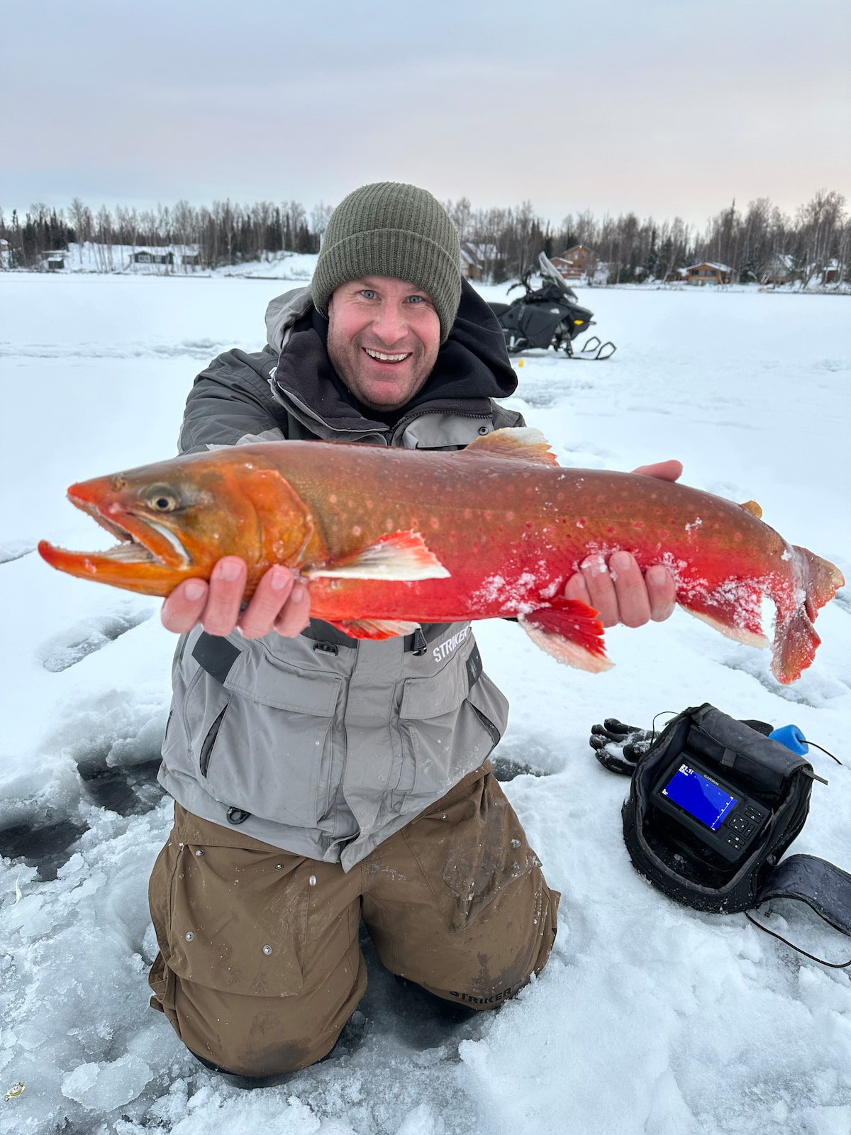
Ice fishing for trophy-class Alaskan fish
Thu, Feb 26 • 8:00 AM
Wasilla, Alaska, 99654
View details

Wasilla vs Palmer @ Palmer
Thu, Feb 26 • 6:00 PM
Palmer High School, Palmer, United States
View details
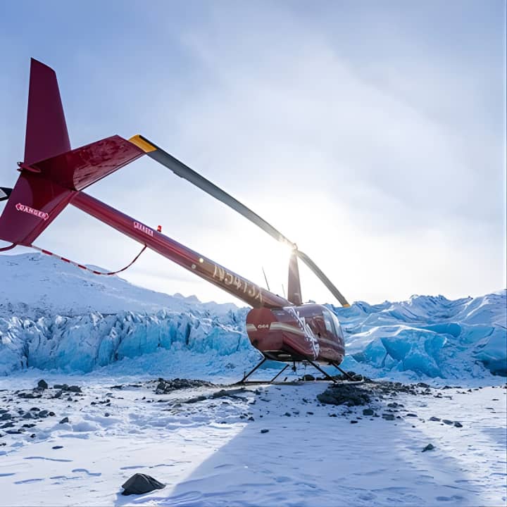
Grand Knik Helicopter Tour - 2 hours 3 landings - ANCHORAGE AREA
Thu, Feb 26 • 10:15 AM
29979 East Knik River Road, Palmer, 99645
View details
Nearby attractions of Matanuska Lake Trailhead
Matanuska Lake
Matanuska Lake
4.5
(18)
Open 24 hours
Click for details
Nearby restaurants of Matanuska Lake Trailhead
May Asian Cuisine
May Asian Cuisine
4.9
(105)
$
Closed
Click for details