I do realize that Mount Major is the most visited Mountain in the Belknap range. And even though it has nice views from the top, I only give it a 4 because it's usually too crowded. Some of the trails are becoming quite eroded, not just due to weather but to the extreme amount of people that hike Mount Major on a daily basis. On this visit to the summit of Mount Major, it wasn't busy when I got to the top because it was raining and people were already on their way down. I went up the Boulder Loop Trail, which is blazed in Orange, and I came down the Jesus Valley Road - Beaver Pond Trail. That one is blazed in red and is not very heavily traveled. There is a parking lot at the end of the Jesus Valley Road Trail which I would have to rate as the easiest way to the summit, because it's a snowmobile trail most of the way. The Orange Trail requires some rock scrambling on eroded rocks, and gets quite slippery when it's wet. 
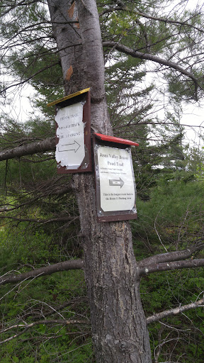
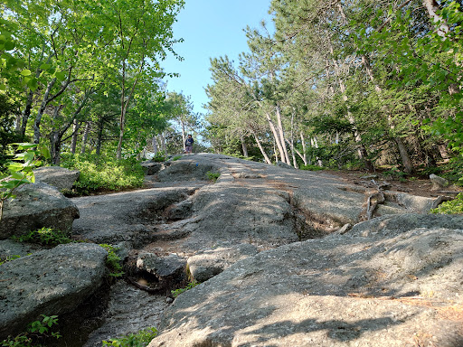
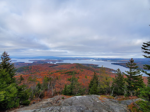
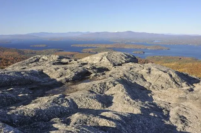
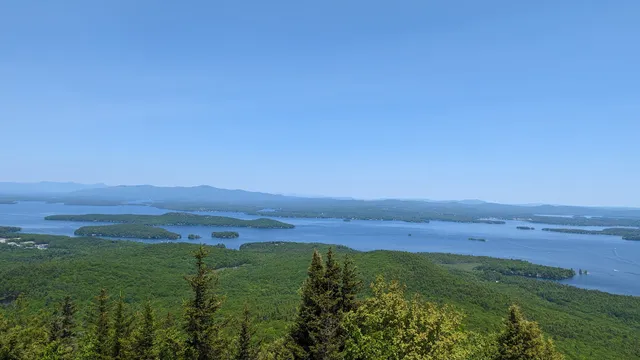
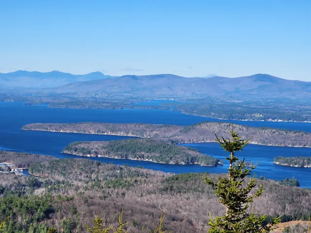
Mount Major State Forest consists of more than just the summit of Mount Major. For anyone wanting to explore the area at self, I would recommend taking some of the less traveled trails, like the Jesus Valley Road - Beaver Pond Trail. You will see things along those trails that you would not see from the more popular trails. Both trails are accessible from Mount Major parking lot, as the Beaver Pond section of the Red Trail intersects with Orange Trail. You can do a pretty decent loop hiking up the Orange Trail and down the Red Trail if you are not in a hurry, because taking the Red Trail all the way back to Mount Major parking lot is the...
Read moreThis is a fantastic day hike! Very well marked trails, as long as you pay attention it's easy to stay on track. This hike is quite challenging, and requires you to be pretty fit (or take lots of breaks!) to make it to the summit. Some spots are very steep. There are 3 main trails to reach the top, or to hike down, and they seem to range in difficulty from left to right on the map. The furthest left trail (orange) seemed steepest, middle (blue) was average, and the far right (yellow/blue trail) was the least steep, but I wouldn't say easy by any stretch. It was pretty easy to find, only just over an hour to get there from northern mass and definitely worth the drive! The summit views are amazing, like many others have said it must be one of the best views of lake Winnipesaukee available. Personally I would suggest bringing a small backpack with a few drinks/food and make a solid half day of it. Take the time to appreciate and enjoy it! My dog had no trouble reaching the summit, but she hikes with me every day and is quite adventurous. The blue/yellow Brook trail hugged a rocky Brook a good portion of the way, which was great for the pooch to be able to jump in and cool down when she wished. I wouldn't recommend bringing a dog that isn't highly active, or a dog that's easily intimidated by rough terrain. Altogether this place is absolutely worth a visit, and certainly worth making a day trip out of. You will not be disappointed if you stick it out and push to the...
Read morePossibly the best view to effort ratio IN NH. Three main trails get you to the top. All three are accessed from the parking lot. Blue is the main trail. It's good for ascent and descent.
Yellow is accessed from the blue trail. It's good for descent but boring on the way up. It's great for trail running.
Orange is good for ascent but tricky to descend.
Parking is awful. If you arrive after 10am on a weekend you will be parking on the road. On busy days you could end up as much as a half mile from the trail head. That's nuts considering the blue trail is less than 1.5 miles to the summit.
There is also a hidden trail that leaves the orange trail very close to the parking lot. It shoots up the gravity line and dumps out on the blue trail on the ledges section. It is not marked well and should only be hiked by people who are very familiar with...
Read more