Sugarloaf Mountain Trailhead things to do, attractions, restaurants, events info and trip planning

Basic Info
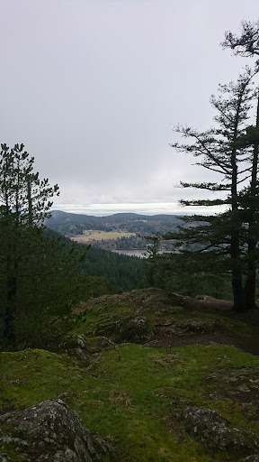
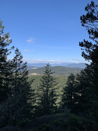
Sugarloaf Mountain Trailhead
Ray Auld Dr, Anacortes, WA 98221
4.6(76)
Open 24 hours
Save
spot
spot
Ratings & Description
Info
Outdoor
Adventure
Scenic
Pet friendly
Family friendly
Off the beaten path
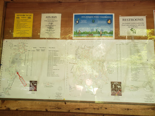
attractions: Heart Lake, Mt Erie summit trailhead, restaurants: , local businesses:
Website
wta.org
Plan your stay

Pet-friendly Hotels in Anacortes
Find a cozy hotel nearby and make it a full experience.

Affordable Hotels in Anacortes
Find a cozy hotel nearby and make it a full experience.

The Coolest Hotels You Haven't Heard Of (Yet)
Find a cozy hotel nearby and make it a full experience.

Trending Stays Worth the Hype in Anacortes
Find a cozy hotel nearby and make it a full experience.
Reviews
Live events

Love Bites: A Friday the 13th Dating Night at Skylark’s
Fri, Feb 13 • 6:00 PM
1308 11th Street Bellingham, WA 98225
View details

Candlelight: Valentine’s Day Special
Fri, Feb 13 • 6:30 PM
712 South 1st Street, Mount Vernon, 98273
View details
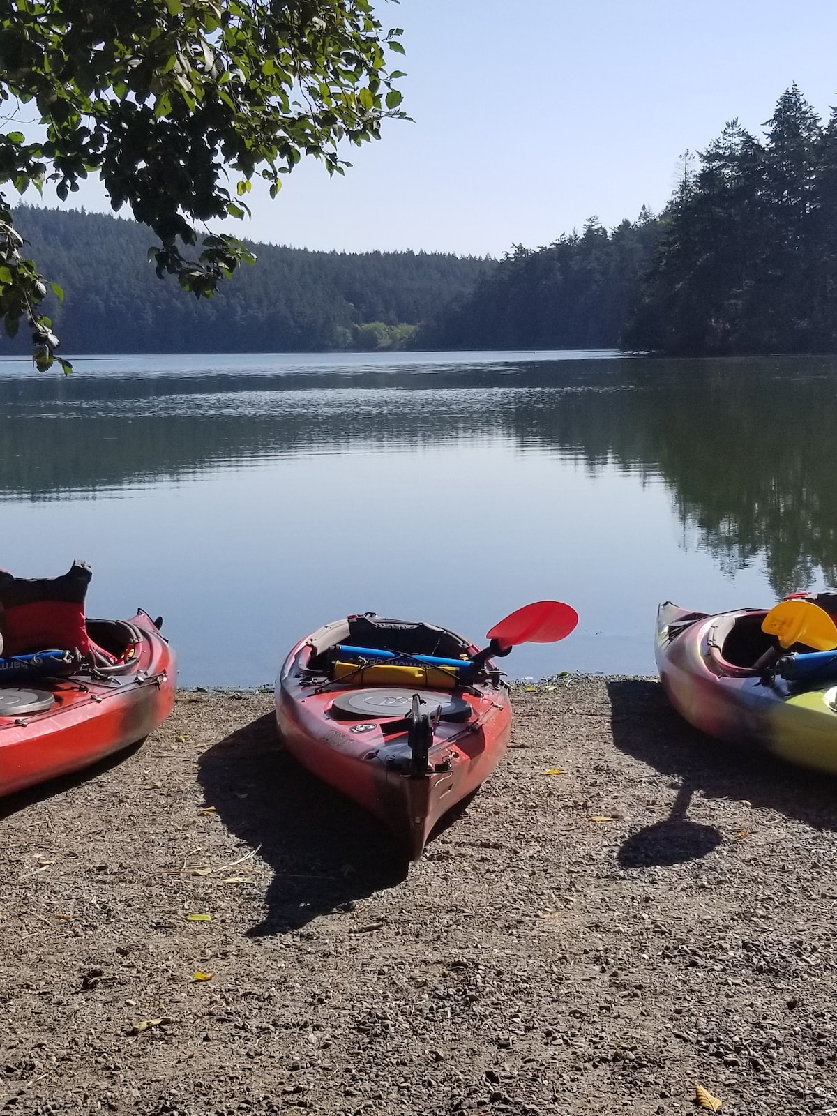
Kayak Whidbey Island
Sat, Feb 14 • 12:00 PM
Coupeville, Washington, 98239
View details
Nearby attractions of Sugarloaf Mountain Trailhead
Heart Lake
Mt Erie summit trailhead

Heart Lake
4.5
(62)
Open 24 hours
Click for details

Mt Erie summit trailhead
4.9
(12)
Open 24 hours
Click for details