Graveyard Fields Loop Trail things to do, attractions, restaurants, events info and trip planning
Basic Info
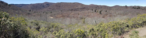
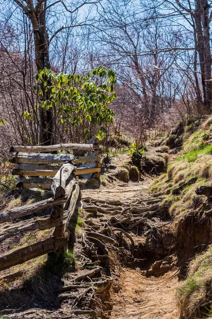
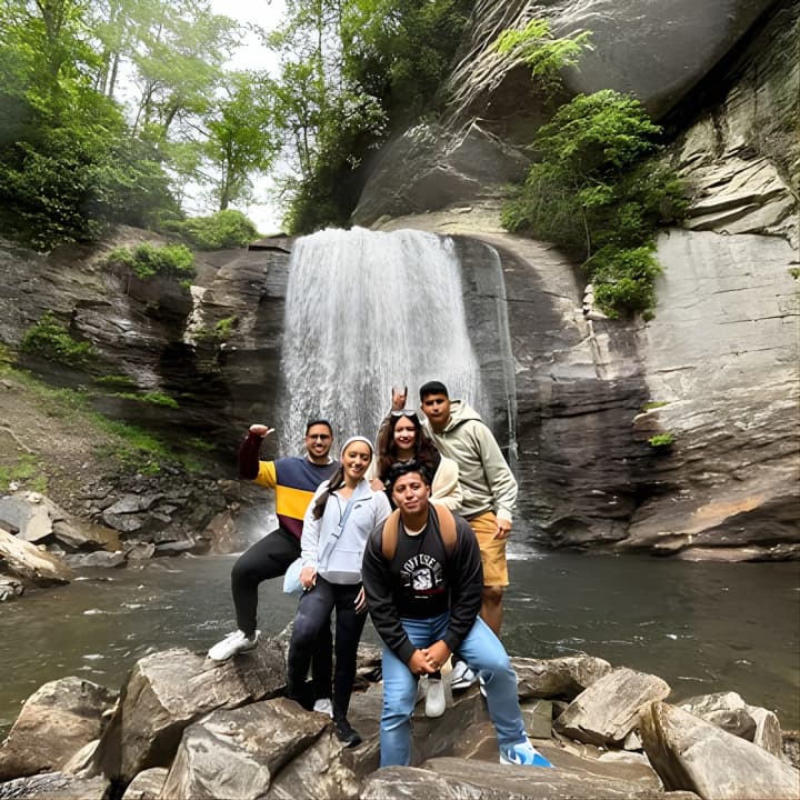
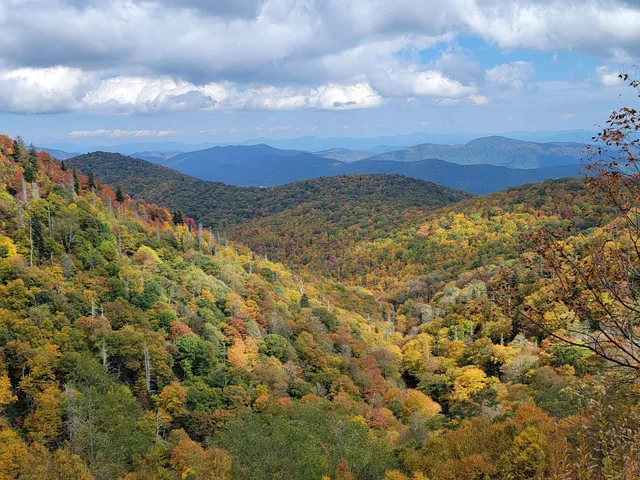
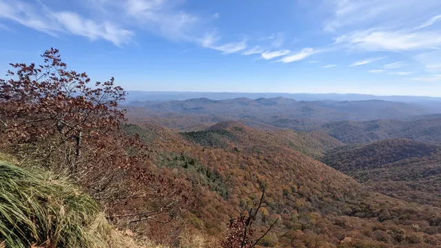
Graveyard Fields Loop Trail
Blue Ridge Pkwy, Canton, NC 28716
4.7(413)
Open until 12:00 AM
Save
spot
spot
Ratings & Description
Info
Outdoor
Adventure
Scenic
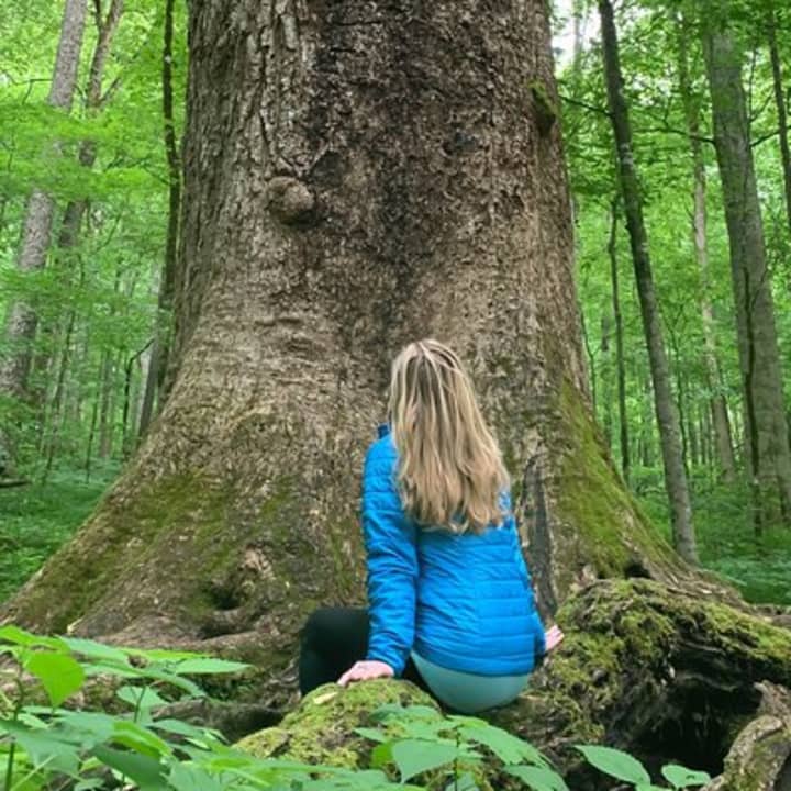
Family friendly
Pet friendly
Off the beaten path
attractions: Graveyard Fields 418.8, East Fork Overlook, restaurants: , local businesses: Second Falls, John Rock Overlook
Phone
(828) 257-4200
Website
nps.gov
Open hoursSee all hours
SatOpen 24 hoursOpen
Plan your stay

Pet-friendly Hotels in Brevard
Find a cozy hotel nearby and make it a full experience.

Affordable Hotels in Brevard
Find a cozy hotel nearby and make it a full experience.

The Coolest Hotels You Haven't Heard Of (Yet)
Find a cozy hotel nearby and make it a full experience.

Trending Stays Worth the Hype in Brevard
Find a cozy hotel nearby and make it a full experience.
Reviews
Live events
Forest Bathing & Nature Therapy Walk
Sat, Feb 28 • 1:30 PM
100 Frederick Law Olmsted Way, Asheville, 28806
View details
Waterfall Hike and Jeep Excursion
Sat, Feb 28 • 8:30 AM
Pisgah Forest, 28768
View details

Llama hike through Blue Ridge Mountain Trails
Sat, Feb 28 • 11:00 AM
Lake Toxaway, North Carolina, 28747
View details
Nearby attractions of Graveyard Fields Loop Trail
Graveyard Fields 418.8
East Fork Overlook

Graveyard Fields 418.8
4.8
(584)
Open until 12:00 AM
Click for details
East Fork Overlook
4.9
(125)
Open until 12:00 AM
Click for details
Nearby local services of Graveyard Fields Loop Trail
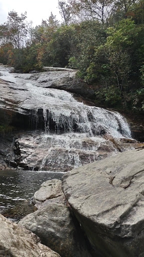
Second Falls
John Rock Overlook
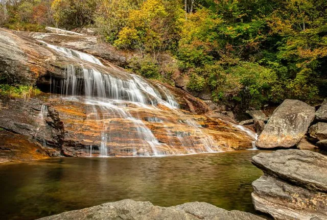
Second Falls
4.9
(10)
Click for details
John Rock Overlook
4.7
(42)
Click for details