San Bruno Mountain State & County Park things to do, attractions, restaurants, events info and trip planning
Basic Info
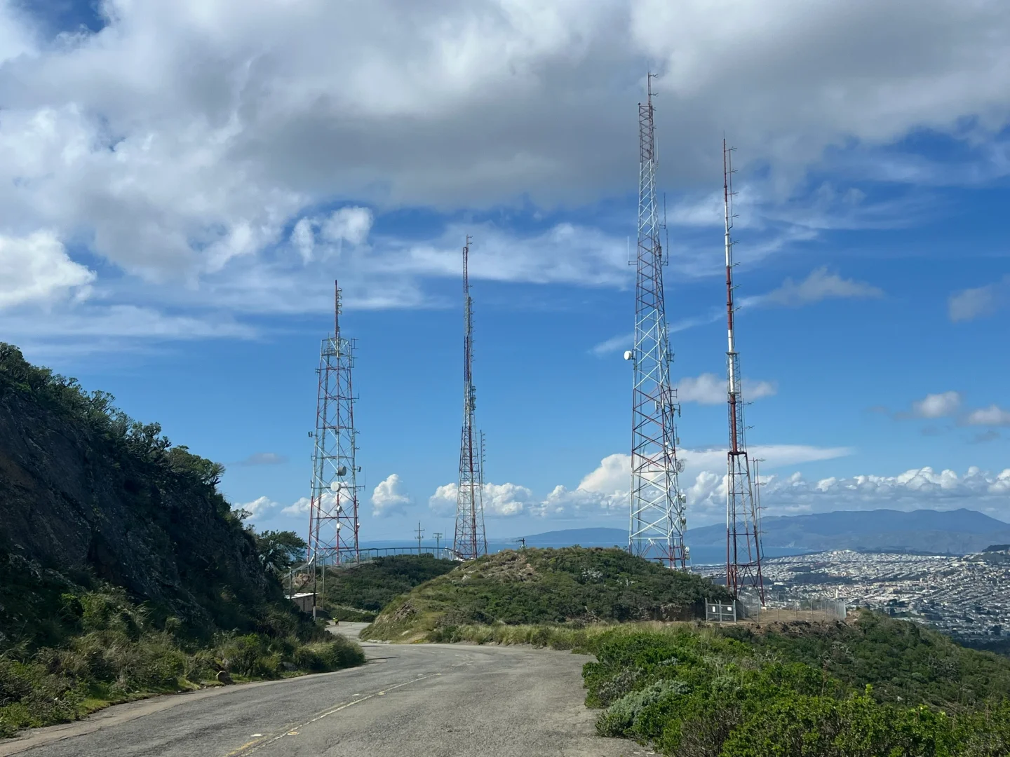
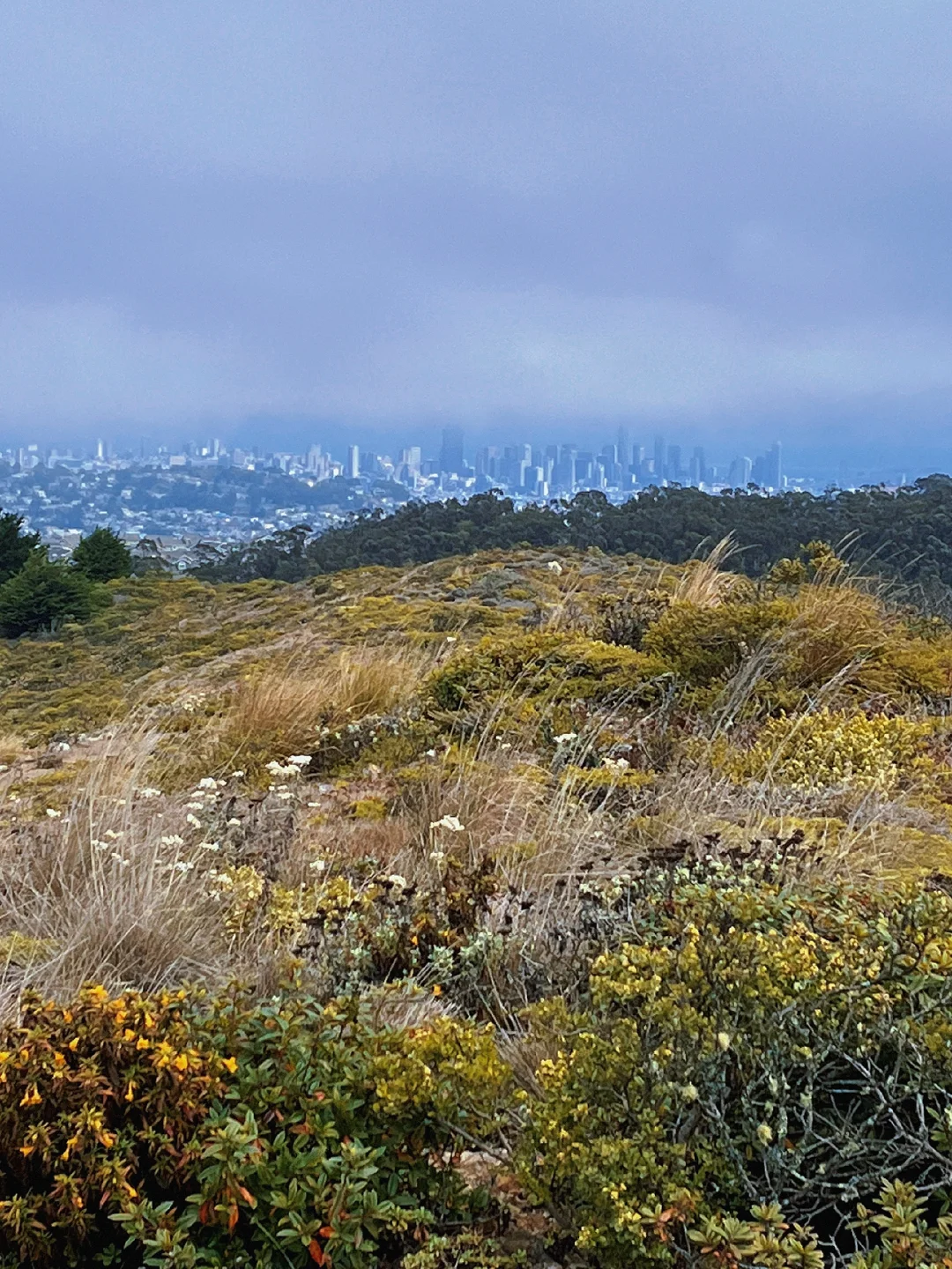
San Bruno Mountain State & County Park
555 Guadalupe Canyon Pkwy, Brisbane, CA 94005
4.7(485)
Closed

tickets
Save
spot
spot
Ratings & Description
Info
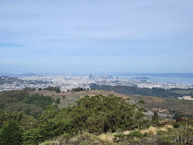
San Bruno Mountain State Park, officially San Bruno Mountain State and County Park, is a park located in northern San Mateo County, California. It is adjacent to the southern boundary of San Francisco and borders the cities of Brisbane, South San Francisco, Colma and Daly City.
Outdoor
Adventure
Scenic
Family friendly
Pet friendly
attractions: San Bruno Summit Loop, San Bruno Mountain Picnic Area, Crocker Gate Trailhead, Saddle Loop Trail North Bench, Summit Loop Trail, San Bruno Mountain, restaurants: , local businesses:
Phone
(650) 589-5708
Website
parks.smcgov.org
Open hoursSee all hours
Fri8 AM - 5 PMClosed
Plan your stay

Pet-friendly Hotels in Brisbane
Find a cozy hotel nearby and make it a full experience.

Affordable Hotels in Brisbane
Find a cozy hotel nearby and make it a full experience.

The Coolest Hotels You Haven't Heard Of (Yet)
Find a cozy hotel nearby and make it a full experience.

Trending Stays Worth the Hype in Brisbane
Find a cozy hotel nearby and make it a full experience.
Reviews
Live events
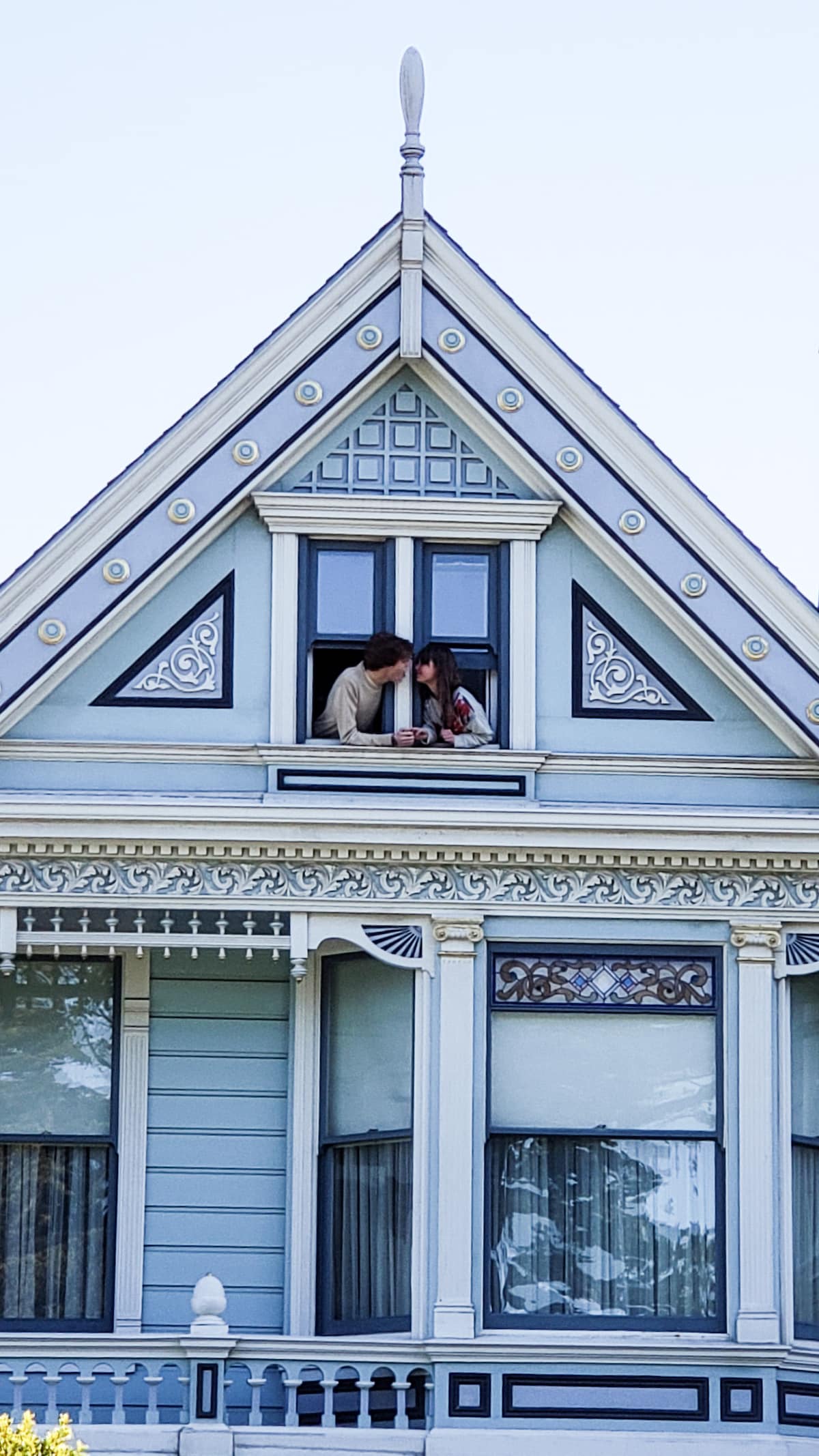
Explore an Iconic Painted Lady
Sat, Feb 7 • 4:00 PM
San Francisco, California, 94117
View details

Rug Tufting Workshop - SF
Sat, Feb 7 • 10:00 AM
San Francisco, California, 94107
View details
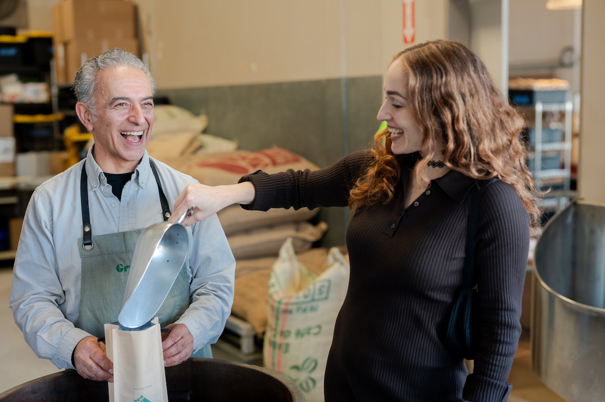
Roast and brew at SFs oldest coffee roastery
Thu, Feb 12 • 1:30 PM
San Francisco, California, 94133
View details
Nearby attractions of San Bruno Mountain State & County Park
San Bruno Summit Loop
San Bruno Mountain Picnic Area
Crocker Gate Trailhead
Saddle Loop Trail North Bench
Summit Loop Trail, San Bruno Mountain

San Bruno Summit Loop
4.5
(15)
Open 24 hours
Click for details

San Bruno Mountain Picnic Area
4.6
(26)
Open 24 hours
Click for details
Crocker Gate Trailhead
4.6
(124)
Closed
Click for details

Saddle Loop Trail North Bench
4.7
(11)
Open 24 hours
Click for details