Summit Loop Trail, San Bruno Mountain things to do, attractions, restaurants, events info and trip planning

Basic Info
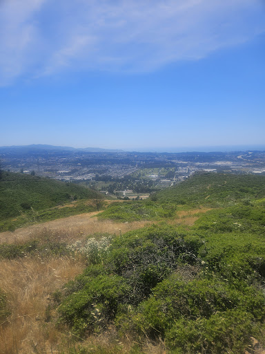
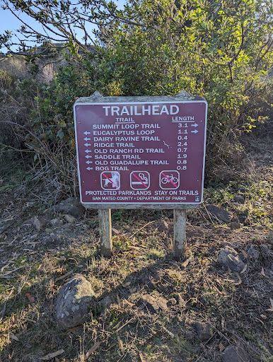
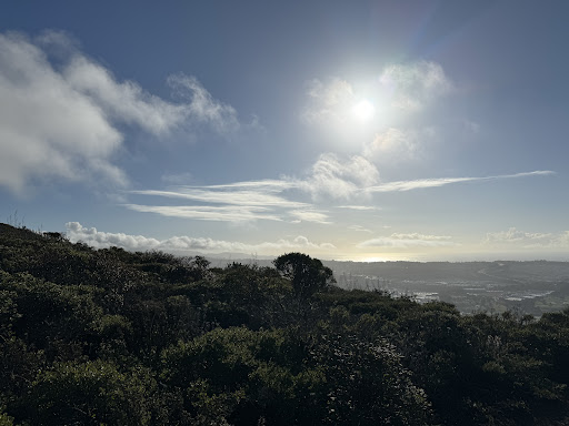
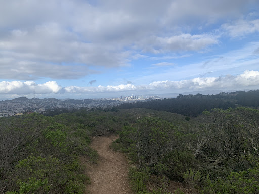
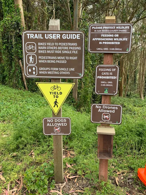
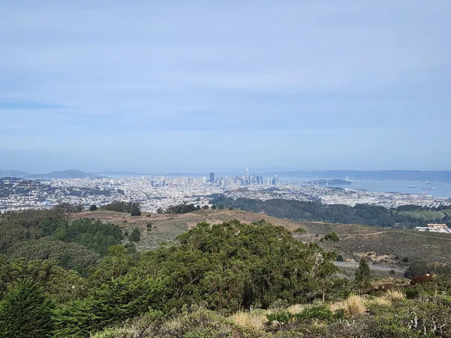
Summit Loop Trail, San Bruno Mountain
Summit Loop Trail, Daly City, CA 94014
4.5(10)
Open 24 hours
Save
spot
spot
Ratings & Description
Info
Outdoor
Adventure
Scenic
Pet friendly
Family friendly
Off the beaten path
attractions: Crocker Gate Trailhead, San Bruno Mountain State & County Park, San Bruno Summit Loop, San Bruno Mountain Picnic Area, restaurants: , local businesses:
Plan your stay

Pet-friendly Hotels in Daly City
Find a cozy hotel nearby and make it a full experience.

Affordable Hotels in Daly City
Find a cozy hotel nearby and make it a full experience.

The Coolest Hotels You Haven't Heard Of (Yet)
Find a cozy hotel nearby and make it a full experience.

Trending Stays Worth the Hype in Daly City
Find a cozy hotel nearby and make it a full experience.
Reviews
Live events
Throw and handbuild clay pieces with an artist
Tue, Jan 27 • 2:30 PM
San Francisco, California, 94110
View details
Custom Jewelry Workshop Berkeley
Wed, Jan 28 • 3:00 PM
Berkeley, California, 94710
View details

Make Your Movie: The Power of Networks in Independent Filmmaking
Tue, Jan 27 • 5:30 PM
1 Alumni House Berkeley, CA 94720
View details
Nearby attractions of Summit Loop Trail, San Bruno Mountain
Crocker Gate Trailhead
San Bruno Mountain State & County Park
San Bruno Summit Loop
San Bruno Mountain Picnic Area
Crocker Gate Trailhead
4.6
(124)
Closed
Click for details
San Bruno Mountain State & County Park
4.7
(485)
Closed
Click for details

San Bruno Summit Loop
4.5
(15)
Open 24 hours
Click for details

San Bruno Mountain Picnic Area
4.6
(26)
Open 24 hours
Click for details