Skyline Trailhead things to do, attractions, restaurants, events info and trip planning
Basic Info
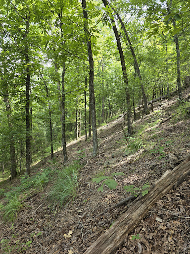
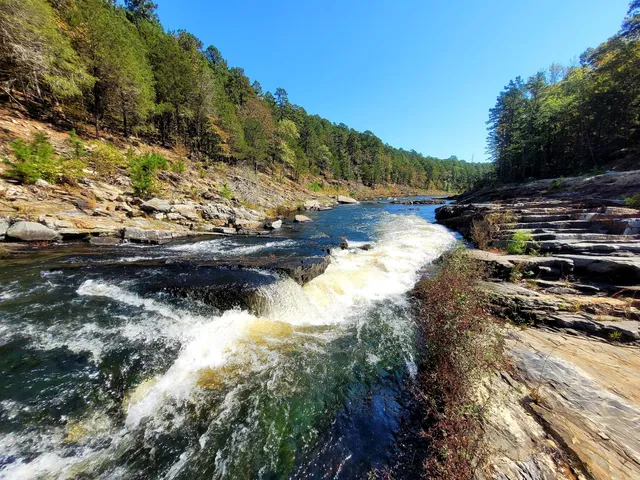
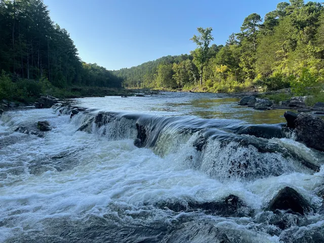
Skyline Trailhead
Beavers Bend Rd, Broken Bow, OK 74728
4.8(29)
Open 24 hours
Save
spot
spot
Ratings & Description
Info
Outdoor
Adventure
Scenic
Pet friendly
Off the beaten path
attractions: Mountain Fork Park, Friends Trail Loop Trailhead, Beaver Lodge Nature Trail, Beach Area, Cedar Bluff Trailhead, Friendship Rock, restaurants: , local businesses: Beavers Bend Paddle Boats, High-Falutin’ Hideaway
Plan your stay

Pet-friendly Hotels in Broken Bow
Find a cozy hotel nearby and make it a full experience.

Affordable Hotels in Broken Bow
Find a cozy hotel nearby and make it a full experience.

The Coolest Hotels You Haven't Heard Of (Yet)
Find a cozy hotel nearby and make it a full experience.

Trending Stays Worth the Hype in Broken Bow
Find a cozy hotel nearby and make it a full experience.
Reviews
Live events

Lee Mathis & the Brutally Handsome - Mountain Fork Brewery - Hochatown (Broken Bow, OK)
Fri, Feb 13 • 7:00 PM
Mountain Fork Brewery & Taproom, 89 N Lukfata Trl Rd,Broken Bow, Oklahoma, United States
View details

Table 4 Tonight: Broken Bow | Dinner with New Friends
Fri, Feb 13 • 7:00 PM
North Main Street Broken Bow, OK 74728
View details

Caleb Michael & The Arrested at MFB Taproom
Sat, Feb 14 • 7:00 PM
89 N Lukfata Trl Rd, Broken Bow, OK, United States
View details
Nearby attractions of Skyline Trailhead
Mountain Fork Park
Friends Trail Loop Trailhead
Beaver Lodge Nature Trail
Beach Area
Cedar Bluff Trailhead
Friendship Rock

Mountain Fork Park
5.0
(28)
Open 24 hours
Click for details

Friends Trail Loop Trailhead
4.8
(231)
Open 24 hours
Click for details
Beaver Lodge Nature Trail
4.7
(78)
Open 24 hours
Click for details
Beach Area
4.6
(168)
Open until 12:00 AM
Click for details
Nearby local services of Skyline Trailhead
Beavers Bend Paddle Boats
High-Falutin’ Hideaway
Beavers Bend Paddle Boats
4.6
(79)
Click for details

High-Falutin’ Hideaway
5.0
(1)
Click for details