Pine Mountain Trail, West things to do, attractions, restaurants, events info and trip planning
Basic Info
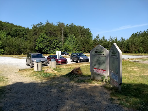
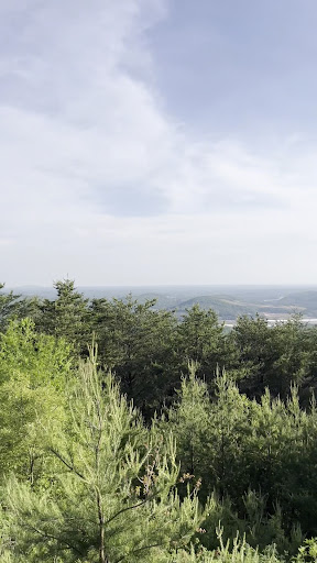
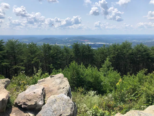
Pine Mountain Trail, West
Komatsu Dr SE, Cartersville, GA 30121
4.8(433)
Closed
Save
spot
spot
Ratings & Description
Info
Outdoor
Adventure
Scenic
Off the beaten path
Pet friendly
attractions: , restaurants: McDonald's, local businesses: Oxygen Station Vape and Hookah
Phone
(770) 387-5626
Open hoursSee all hours
Sat6 AM - 8 PMClosed
Plan your stay

Pet-friendly Hotels in Cartersville
Find a cozy hotel nearby and make it a full experience.

Affordable Hotels in Cartersville
Find a cozy hotel nearby and make it a full experience.

The Coolest Hotels You Haven't Heard Of (Yet)
Find a cozy hotel nearby and make it a full experience.

Trending Stays Worth the Hype in Cartersville
Find a cozy hotel nearby and make it a full experience.
Reviews
Live events

Elixir of Love: A Romantic Cocktail Experience
Thu, Feb 12 • 6:30 PM
The Cigar Cellar, 2500 Cobb Parkway Northwest, Kennesaw, United States
View details

Cindy Baron Workshop
Fri, Feb 13 • 9:00 AM
Booth Art Academy, 1 N Gilmer St, Cartersville, GA 30120-3337, United States
View details

The Galentine: Riding Academy Class
Fri, Feb 13 • 10:00 AM
2281 U.S. 411 North, Cartersville, GA, United States, Georgia 30121
View details
Nearby restaurants of Pine Mountain Trail, West
McDonald's

McDonald's
3.6
(671)
$
Open until 1:00 AM
Click for details
Nearby local services of Pine Mountain Trail, West
Oxygen Station Vape and Hookah
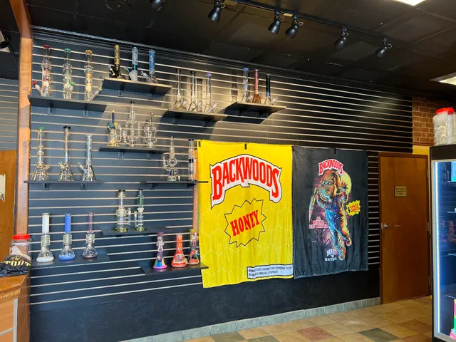
Oxygen Station Vape and Hookah
3.6
(29)
Click for details