Las Trampas Wilderness Regional Preserve things to do, attractions, restaurants, events info and trip planning

Basic Info
Las Trampas Wilderness Regional Preserve
18012 Bollinger Canyon Rd, San Ramon, CA 94583
4.7(501)
Closed
Save
spot
spot
Ratings & Description
Info
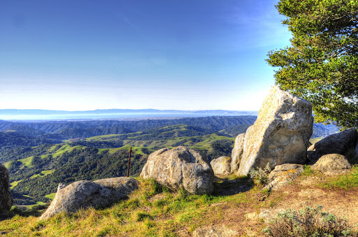
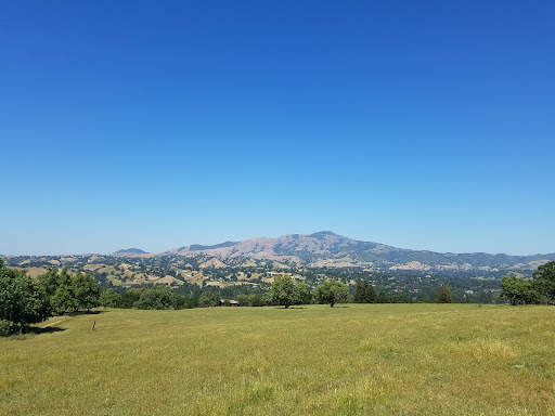
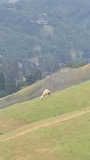
Outdoor
Adventure
Scenic
Pet friendly
Family friendly
attractions: Las Trampas Elderberry Trailhead, restaurants: , local businesses: Las Trampas Regional Wilderness Park, Kheystone Stables
Phone
(510) 544-3276
Website
ebparks.org
Open hoursSee all hours
Tue8 AM - 8 PMClosed
Plan your stay

Pet-friendly Hotels in Danville
Find a cozy hotel nearby and make it a full experience.

Affordable Hotels in Danville
Find a cozy hotel nearby and make it a full experience.

The Coolest Hotels You Haven't Heard Of (Yet)
Find a cozy hotel nearby and make it a full experience.

Trending Stays Worth the Hype in Danville
Find a cozy hotel nearby and make it a full experience.
Reviews
Live events
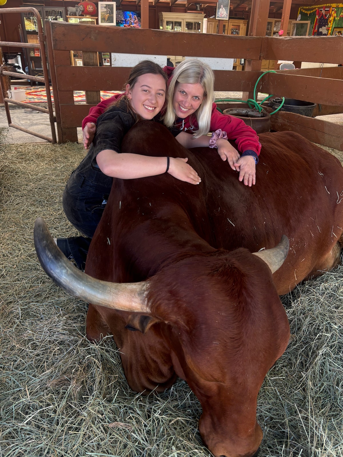
Cow Cuddling Therapy
Sat, Feb 14 • 10:30 AM
Pleasanton, California, 94588
View details

Honor Jazz Jam
Tue, Feb 10 • 8:30 PM
1411 Powell Street, Emeryville, CA 94608
View details

La Zona - Saturday Nights at Tailgaters in Antioch
Sat, Feb 14 • 7:00 PM
4605 Golf Course Road Antioch, CA 94531
View details
Nearby attractions of Las Trampas Wilderness Regional Preserve
Las Trampas Elderberry Trailhead

Las Trampas Elderberry Trailhead
4.8
(17)
Open until 10:00 PM
Click for details
Nearby local services of Las Trampas Wilderness Regional Preserve
Las Trampas Regional Wilderness Park
Kheystone Stables

Las Trampas Regional Wilderness Park
4.7
(479)
Click for details
Kheystone Stables
4.7
(12)
Click for details