Fay Canyon Trail End things to do, attractions, restaurants, events info and trip planning

Basic Info
Fay Canyon Trail End
Fay Canyon Trail, Sedona, AZ 86336
4.8(209)
Open until 12:00 AM
Save
spot
spot
Ratings & Description
Info
Outdoor
Adventure
Scenic
Family friendly
Pet friendly
Off the beaten path
attractions: Fay Canyon Overlook, restaurants: , local businesses: Fay Canyon Arch
Website
fs.usda.gov
Open hoursSee all hours
MonOpen 24 hoursOpen
Plan your stay

Pet-friendly Hotels in Four Corners States
Find a cozy hotel nearby and make it a full experience.

Affordable Hotels in Four Corners States
Find a cozy hotel nearby and make it a full experience.

The Coolest Hotels You Haven't Heard Of (Yet)
Find a cozy hotel nearby and make it a full experience.

Trending Stays Worth the Hype in Four Corners States
Find a cozy hotel nearby and make it a full experience.
Reviews
Live events
Hike Vortexes & Sacred Sites- w/Navajo guide
Wed, Jan 28 • 8:00 AM
Sedona, Arizona, 86336
View details

Shamanic Journey in the Sedona Vortex
Mon, Jan 26 • 2:00 PM
Sedona, Arizona, 86336, United States
View details

Horse, Heart & Connection
Tue, Jan 27 • 9:00 AM
Sedona, Arizona, 86351
View details
Nearby attractions of Fay Canyon Trail End
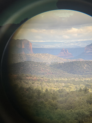
Fay Canyon Overlook

Fay Canyon Overlook
4.7
(46)
Open 24 hours
Click for details
Nearby local services of Fay Canyon Trail End
Fay Canyon Arch
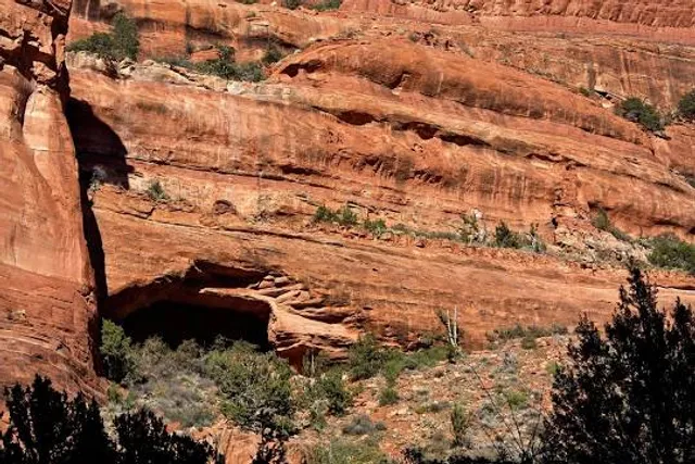
Fay Canyon Arch
4.9
(23)
Click for details