Humphreys Peak Trail things to do, attractions, restaurants, events info and trip planning
Basic Info
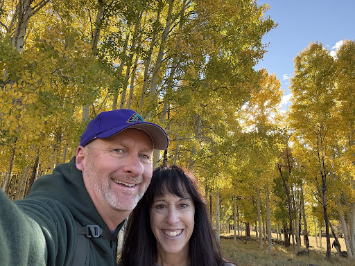
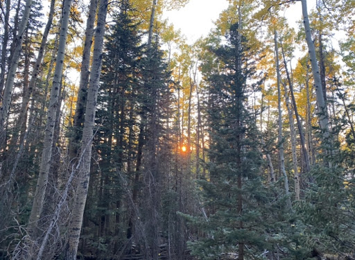
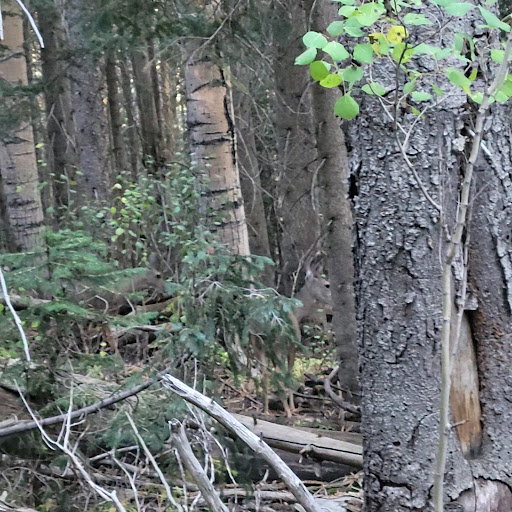
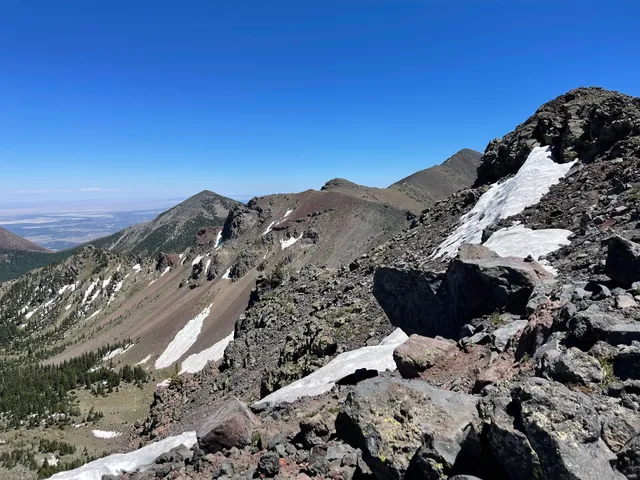
Humphreys Peak Trail
Humphreys Summit Trail, Flagstaff, AZ 86001
4.8(438)
Open until 12:00 AM
Save
spot
spot
Ratings & Description
Info
Outdoor
Adventure
Scenic
Off the beaten path
attractions: Aspen Nature Loop, Snowbowl Scenic Gondola, restaurants: Agassiz Lodge & Restaurant, local businesses:
Phone
(928) 526-0866
Website
fs.usda.gov
Open hoursSee all hours
WedOpen 24 hoursOpen
Plan your stay

Pet-friendly Hotels in Four Corners States
Find a cozy hotel nearby and make it a full experience.

Affordable Hotels in Four Corners States
Find a cozy hotel nearby and make it a full experience.

The Coolest Hotels You Haven't Heard Of (Yet)
Find a cozy hotel nearby and make it a full experience.

Trending Stays Worth the Hype in Four Corners States
Find a cozy hotel nearby and make it a full experience.
Reviews
Live events
Explore Flagstaff with a creative scavenger hunt
Thu, Jan 22 • 11:00 AM
Flagstaff, Arizona, 86001
View details

Tour BASIS Flagstaff Kindergarten & Primary School
Fri, Jan 23 • 8:30 AM
1700 North Gemini Road, Flagstaff, AZ 86001
View details

Create personalized sipping chocolate
Wed, Jan 21 • 6:00 PM
Flagstaff, Arizona, 86004
View details
Nearby attractions of Humphreys Peak Trail
Aspen Nature Loop
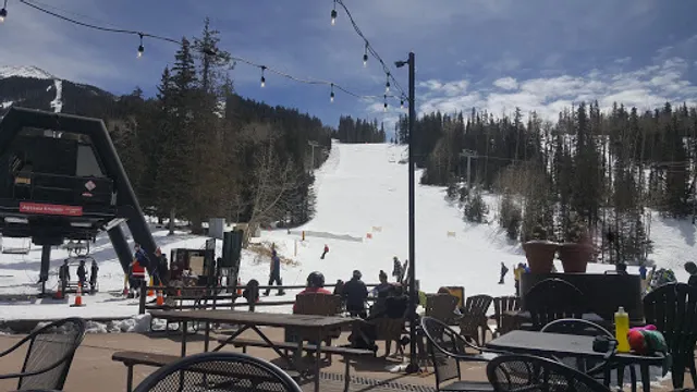
Snowbowl Scenic Gondola
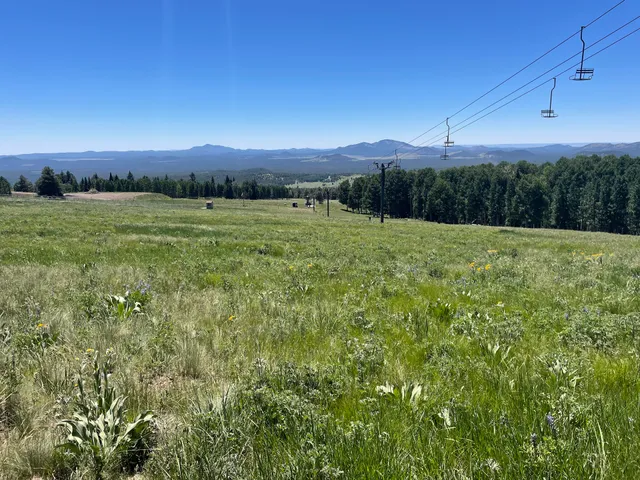
Aspen Nature Loop
4.8
(60)
Closed
Click for details
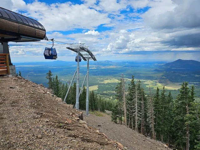
Snowbowl Scenic Gondola
4.7
(563)
Closed
Click for details
Nearby restaurants of Humphreys Peak Trail
Agassiz Lodge & Restaurant
Agassiz Lodge & Restaurant
4.4
(216)
$
Closed
Click for details