Mt. Garfield Trailhead things to do, attractions, restaurants, events info and trip planning
Basic Info
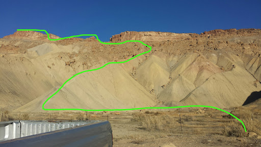
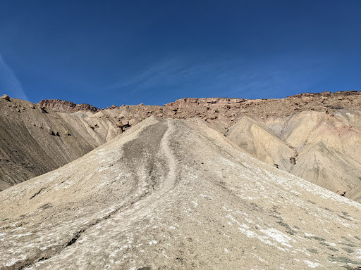
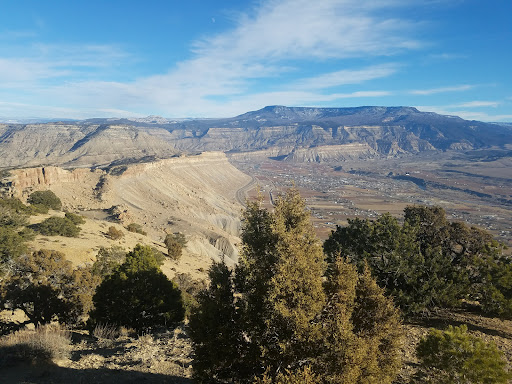
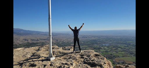
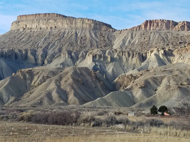
Mt. Garfield Trailhead
899 35 8/10 Rd, Clifton, CO 81520
4.8(122)
Open until 12:00 AM
Save
spot
spot
Ratings & Description
Info
Outdoor
Adventure
Scenic
Off the beaten path
Pet friendly
attractions: The Blue Beryl Winery, restaurants: , local businesses: ESM Pottery Farm
Open hoursSee all hours
WedOpen 24 hoursOpen
Plan your stay

Pet-friendly Hotels in Four Corners States
Find a cozy hotel nearby and make it a full experience.

Affordable Hotels in Four Corners States
Find a cozy hotel nearby and make it a full experience.

The Coolest Hotels You Haven't Heard Of (Yet)
Find a cozy hotel nearby and make it a full experience.

Trending Stays Worth the Hype in Four Corners States
Find a cozy hotel nearby and make it a full experience.
Reviews
Live events

Lunch, Snack, and Dinner for a Cause
Wed, Jan 28 • 10:00 AM
Applebee's Grill + Bar (Grand Junction, CO), 711 Horizon Drive,Grand Junction, Colorado, United States
View details

Pop the Balloon Speed Dating.
Wed, Jan 28 • 5:00 PM
Grand Junction, Grand Junction, CO 81501
View details

Weekly Mantra Meditation
Wed, Jan 28 • 5:00 PM
Address Provided upon RSVP Grand Junction, CO 81507
View details
Nearby attractions of Mt. Garfield Trailhead
The Blue Beryl Winery
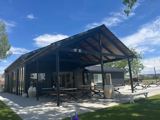
The Blue Beryl Winery
4.8
(68)
Open 24 hours
Click for details
Nearby local services of Mt. Garfield Trailhead
ESM Pottery Farm

ESM Pottery Farm
5.0
(4)
Click for details