George W. Disney Trail things to do, attractions, restaurants, events info and trip planning
Basic Info
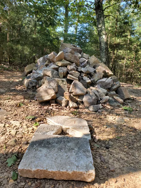
George W. Disney Trail
2325 Chattanooga Rd, Dalton, GA 30720
4.6(128)
Open 24 hours
Save
spot
spot
Ratings & Description
Info
Outdoor
Adventure
Scenic
Off the beaten path
Pet friendly
attractions: , restaurants: Flako's Mexican Restaurant, Los Pablos Mexican Restaurant, Wendy's, local businesses:
Phone
(706) 270-9960
Website
visitdaltonga.com
Plan your stay

Pet-friendly Hotels in Georgia
Find a cozy hotel nearby and make it a full experience.

Affordable Hotels in Georgia
Find a cozy hotel nearby and make it a full experience.

The Coolest Hotels You Haven't Heard Of (Yet)
Find a cozy hotel nearby and make it a full experience.

Trending Stays Worth the Hype in Georgia
Find a cozy hotel nearby and make it a full experience.
Reviews
Live events

The Ringgold Playhouse Presents: Boeing Boeing
Sat, Feb 14 • 7:00 PM
The Ringgold Playhouse, 7847 Nashville Street, Ringgold, United States
View details

Tower Electronics lunch bunch
Wed, Feb 25 • 11:00 AM
The Filling Station 316 North Hamilton Street Dalton Ga, 316 N Hamilton St, Dalton, GA 30720-3103, United States
View details

Monogram Maternity - Erlanger East Hospital
Wed, Feb 25 • 2:00 PM
1635 Gunbarrel Road Chattanooga, TN 37421
View details
Nearby restaurants of George W. Disney Trail
Flako's Mexican Restaurant
Los Pablos Mexican Restaurant
Wendy's
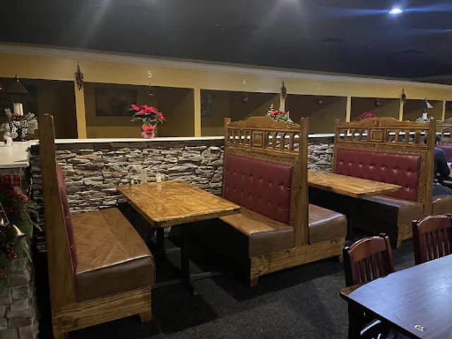
Flako's Mexican Restaurant
4.4
(330)
$
Closed
Click for details
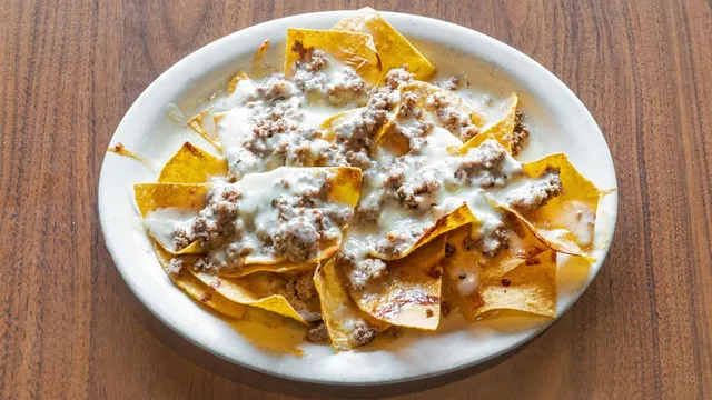
Los Pablos Mexican Restaurant
4.2
(238)
$
Open until 12:00 AM
Click for details
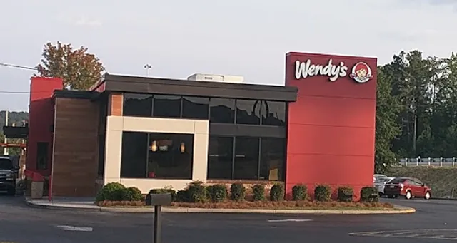
Wendy's
3.9
(642)
$
Open until 11:00 PM
Click for details