Smith Mountain Trail things to do, attractions, restaurants, events info and trip planning
Basic Info
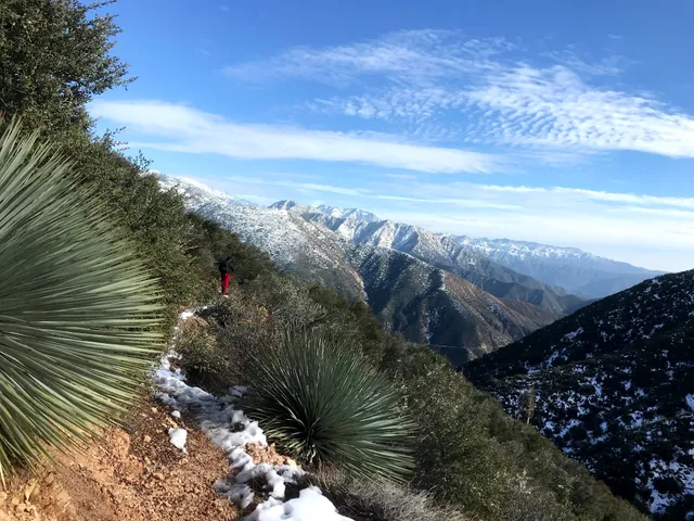
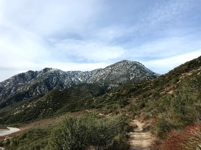
Smith Mountain Trail
State Rte 39, Azusa, CA 91702
4.7(21)
Open until 12:00 AM
Save
spot
spot
Ratings & Description
Info
Outdoor
Adventure
Scenic
Pet friendly
Off the beaten path
attractions: Upper Bear Creek Trailhead, restaurants: , local businesses:
Open hoursSee all hours
FriOpen 24 hoursOpen
Plan your stay

Pet-friendly Hotels in Glendora
Find a cozy hotel nearby and make it a full experience.

Affordable Hotels in Glendora
Find a cozy hotel nearby and make it a full experience.

The Coolest Hotels You Haven't Heard Of (Yet)
Find a cozy hotel nearby and make it a full experience.

Trending Stays Worth the Hype in Glendora
Find a cozy hotel nearby and make it a full experience.
Reviews
Live events

Audi After Dark
Fri, Feb 13 • 4:30 PM
2965 East Colorado Boulevard Pasadena, CA 91107
View details

2026 Taste of New Year新春遊園會
Sat, Feb 14 • 10:00 AM
9456 Broadway Temple City, CA 91780
View details

Family & Friends CPR; In-person
Thu, Feb 19 • 6:00 PM
Healthy Beginnings 901 San Bernardino Road Upland, CA 91786
View details
Nearby attractions of Smith Mountain Trail
Upper Bear Creek Trailhead
Upper Bear Creek Trailhead
4.6
(18)
Open until 12:00 AM
Click for details


