Deer Springs Trailhead things to do, attractions, restaurants, events info and trip planning
Basic Info
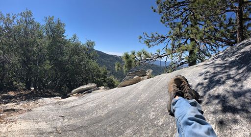
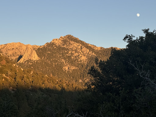
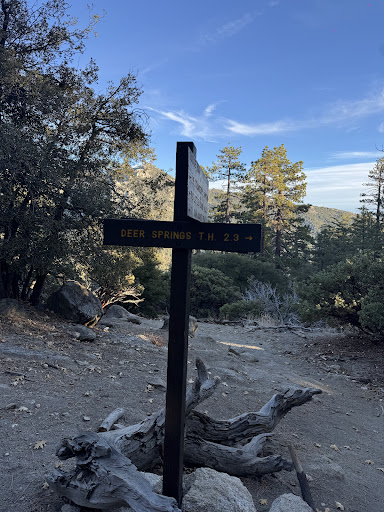
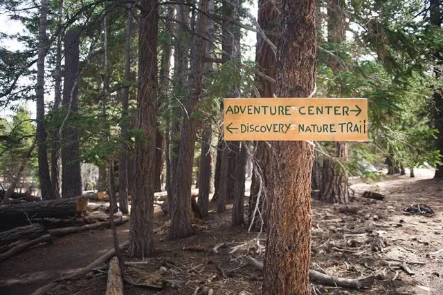
Deer Springs Trailhead
Deer Spring Trail, Idyllwild-Pine Cove, CA 92549
4.7(209)
Open until 12:00 AM
Save
spot
spot
Ratings & Description
Info
Outdoor
Adventure
Scenic
Pet friendly
Family friendly
attractions: Idyllwild Nature Center, Foster Lake, Mount San Jacinto State Park, restaurants: , local businesses: Idyllwild Laundry Service, Forest True Value Lumber, Art Dept., Mountain Pottery, Idyllwild Fire Department
Phone
(909) 382-2921
Website
fs.usda.gov
Open hoursSee all hours
SunOpen 24 hoursOpen
Plan your stay

Pet-friendly Hotels in Idyllwild-Pine Cove
Find a cozy hotel nearby and make it a full experience.

Affordable Hotels in Idyllwild-Pine Cove
Find a cozy hotel nearby and make it a full experience.

The Coolest Hotels You Haven't Heard Of (Yet)
Find a cozy hotel nearby and make it a full experience.

Trending Stays Worth the Hype in Idyllwild-Pine Cove
Find a cozy hotel nearby and make it a full experience.
Reviews
Live events
Ride through the iconic neighborhoods of the..
Mon, Feb 23 • 8:30 AM
Palm Springs, California, 92264
View details

Off-Road Luxury Adventure
Sun, Feb 22 • 9:00 AM
Cathedral City, California, 92234
View details
Reset your body and mind through contrast therapy
Mon, Feb 23 • 1:30 PM
Palm Springs, California, 92262
View details
Nearby attractions of Deer Springs Trailhead
Idyllwild Nature Center
Foster Lake
Mount San Jacinto State Park
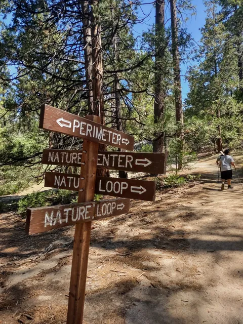
Idyllwild Nature Center
4.8
(410)
Open until 4:00 PM
Click for details
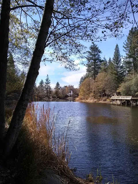
Foster Lake
3.0
(12)
Open 24 hours
Click for details
Mount San Jacinto State Park
4.8
(1.2K)
Open until 4:00 PM
Click for details
Nearby local services of Deer Springs Trailhead
Idyllwild Laundry Service
Forest True Value Lumber
Art Dept.
Mountain Pottery
Idyllwild Fire Department
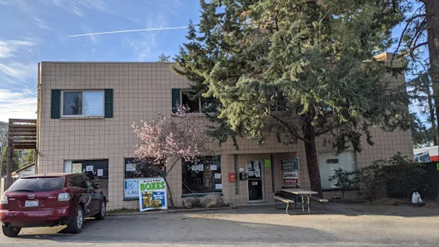
Idyllwild Laundry Service
4.7
(106)
Click for details
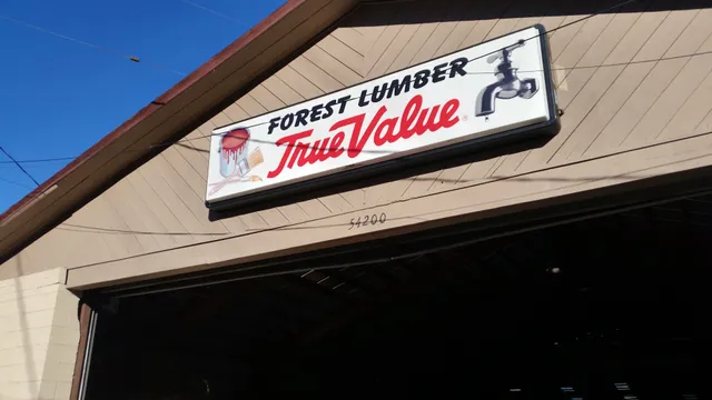
Forest True Value Lumber
4.6
(49)
Click for details

Art Dept.
4.8
(32)
Click for details
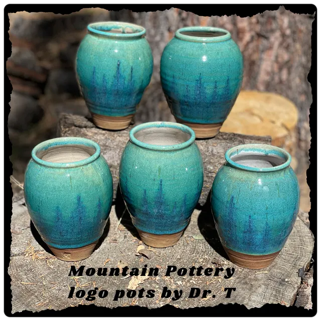
Mountain Pottery
5.0
(15)
Click for details