Hiking and paddling trails -- and yes, there is an observation platform. I did not observe restrooms, although I did find maps, a picnic table, and two trash cans.
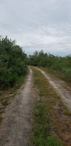
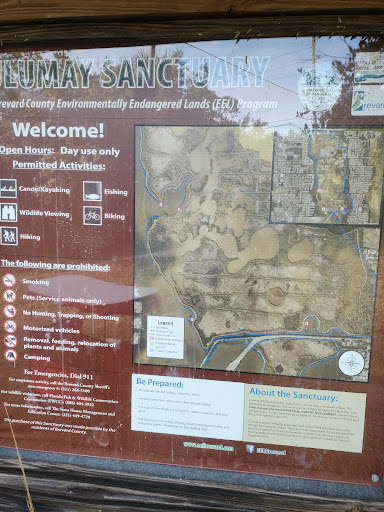
Parking / entering: The entrance road is right off a bend in Sykes Creek Parkway, so it can be easy to miss at first go. Park the car along the side of the entrance road, once you're there. (Please don't block the service road gate on the left / north side.) Enter by foot via the service road gate. You'll find the signs and maps and see some water off to your left. This is where water is pumped in to the sanctuary for the paddling trails.
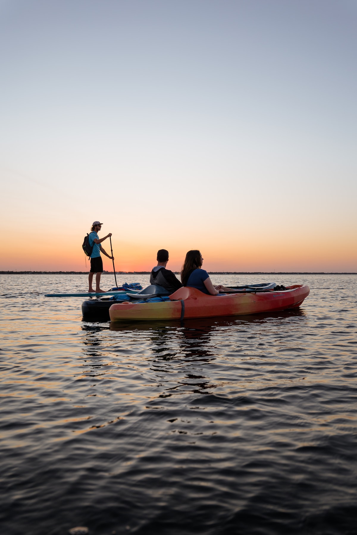
To get to the PADDLE LAUNCH SITE: Go LEFT / WEST from the entrance signs, beyond the open area where the pump water comes in. The launch site is kinda narrow -- for one vessel at a time, surrounded on sides by mangroves, I think -- and it is just a skosh further down the trail, off to the right. If you find a bend in the trail, you've gone too far for the launch site, but keep going if you want to find the observation platform.
NOTE: Judging by the maps, it appears as if many of the smaller paddle trails do connect and may sometimes lead to small ponds / lakes within. Until you know where you're going, it might be a good idea to take a GPS with you -- and you won't want to go very far, unless you're a strong paddler. The pump actually causes a current, so this is a little different than flatwater paddling. Please bear that in mind when you paddle back. Also note: There is one spot marked on the map where you can theoretically carry over your kayak or board into Sykes Creek if you need / want to. This is along the westernmost trail, along the western dike (a service road / trail, I believe). Most of the paddle trails I was on were reasonably open (and deep), unlike many paddling trails around the Thousand Islands in Cocoa Beach. Some are narrow. Because of the mangroves, winds seemed as a general rule to be less of an issue, although there was still enough of a breeze to cool off when I was there.
To get to the OBSERVATION PLATFORM: Go LEFT / WEST from the entrance signs and follow the service road until you find the observation tower. It's not a long hike imo -- nor is it super-high, although it is high enough to see the interior grasslands. If you are a wildlife photographer, you may want a telephoto / zoom camera with image stabilization capability and/or a tripod. Otherwise, binoculars would be nice. = )
Picnic table and trash cans: There was one trash can at the entrance, and one by a picnic table, off to the west / left from the entrance signs, on the way to the observation platform. I observed NO RESTROOMS. So, I would use restrooms before coming out here, and / or after leaving. Just FYI.
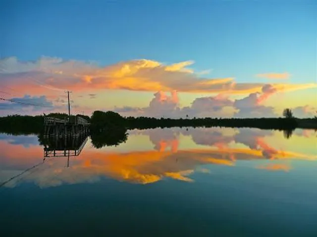
At the end of the entrance road was an old fishing dock. It appeared as if it were in disrepair, and that authorities were discouraging fishermen from using it. In its day, it probably had a great view of Sykes Creek.
I do recommend mosquito repellent to deal with the mosquitoes, moreso if you are hiking on foot or standing still, as opposed to being on the water. My experience so far. It may also depend on the time of...
Read more