Mission Peak Summit things to do, attractions, restaurants, events info and trip planning
Basic Info
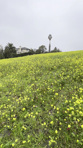
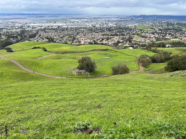
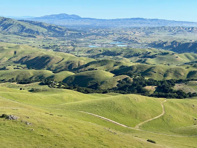
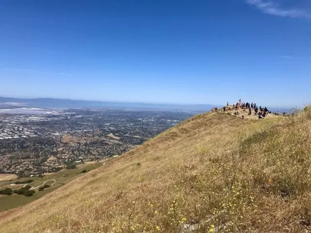
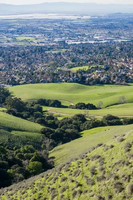
Mission Peak Summit
Mission Peak, Fremont, CA 94539
4.8(337)
Closed
Save
spot
spot
Ratings & Description
Info
Outdoor
Adventure
Scenic
Off the beaten path
attractions: Mission Peak Pole, Mission Peak Regional Preserve, Mission Peak Hike Restroom, restaurants: , local businesses: Mission Peak
Phone
(510) 544-3246
Website
ebparks.org
Open hoursSee all hours
Sun6:30 AM - 9 PMClosed
Plan your stay

Pet-friendly Hotels in Milpitas
Find a cozy hotel nearby and make it a full experience.

Affordable Hotels in Milpitas
Find a cozy hotel nearby and make it a full experience.

The Coolest Hotels You Haven't Heard Of (Yet)
Find a cozy hotel nearby and make it a full experience.

Trending Stays Worth the Hype in Milpitas
Find a cozy hotel nearby and make it a full experience.
Reviews
Live events

“骏马迎春”2026南京(江苏)高校硅谷校友会联合春晚
Sun, Feb 8 • 1:00 PM
3250 Monroe Street Santa Clara, CA 95051
View details

San Ramon Night Service | Super Bowl Nacho Bar & Kids Football-Themed Games
Sun, Feb 8 • 5:00 PM
20801 San Ramon Valley Boulevard San Ramon, CA 94583
View details

✈️ EL APAGÓN REGGAETON FESTIVAL | SAN JOSE, CA ✈️ 18+
Sun, Feb 8 • 8:00 PM
525 Los Coches Street Milpitas, CA 95035
View details
Nearby attractions of Mission Peak Summit
Mission Peak Pole
Mission Peak Regional Preserve
Mission Peak Hike Restroom
Mission Peak Pole
4.9
(38)
Open 24 hours
Click for details
Mission Peak Regional Preserve
4.7
(2K)
Closed
Click for details
Mission Peak Hike Restroom
4.1
(36)
Open until 12:00 AM
Click for details
Nearby local services of Mission Peak Summit
Mission Peak
Mission Peak
4.8
(371)
Click for details