Boone Fork Trail things to do, attractions, restaurants, events info and trip planning
Basic Info
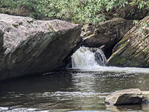
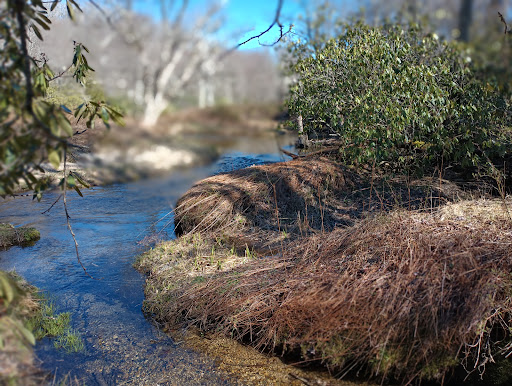
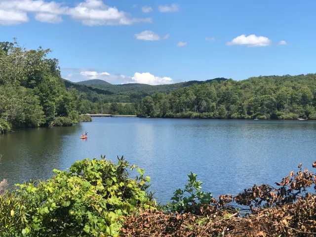
Boone Fork Trail
Boone Fork Trail, Blowing Rock, NC 28605, United States
4.9(68)
Open 24 hours
Save
spot
spot
Ratings & Description
Info
Outdoor
Adventure
Scenic
Pet friendly
Family friendly
attractions: Blue Ridge Parkway, Price Lake Overlook, Price Lake, US Price Park Blue Ridge Pky, restaurants: , local businesses: Price Lake, Price Lake Trail
Phone
+1 828-348-3400
Website
nps.gov
Plan your stay

Pet-friendly Hotels in North Carolina
Find a cozy hotel nearby and make it a full experience.

Affordable Hotels in North Carolina
Find a cozy hotel nearby and make it a full experience.

The Coolest Hotels You Haven't Heard Of (Yet)
Find a cozy hotel nearby and make it a full experience.

Trending Stays Worth the Hype in North Carolina
Find a cozy hotel nearby and make it a full experience.
Reviews
Live events

Southern Illinois Salukis at Appalachian State Mountaineers Baseball
Sun, Feb 22 • 6:00 PM
Beaver Field at Jim and Bettie Smith Stadium, Appalachian State University, Boone, NC 28608, US, United States
View details

Gardner-Webb Runnin Bulldogs at Appalachian State Mountaineers Wrestling
Sun, Feb 22 • 8:00 PM
Varsity Gym, 530 Rivers Street, Boone, NC 28607, US, United States
View details

Chartering Ceremony & Social
Mon, Feb 23 • 6:00 PM
Blue Ridge Conservancy, 416 Aho Rd ,Boone, North Carolina, United States
View details
Nearby attractions of Boone Fork Trail
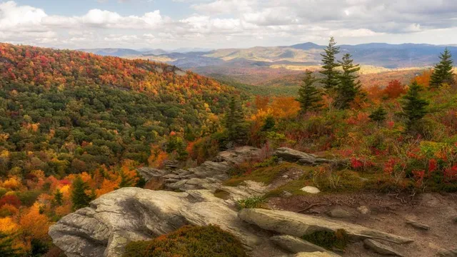
Blue Ridge Parkway, Price Lake Overlook
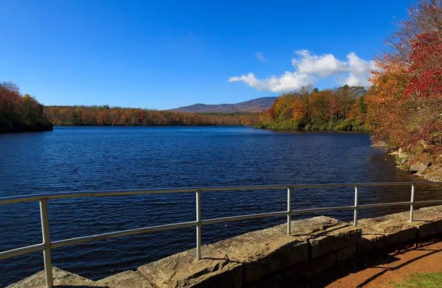
Price Lake
US Price Park Blue Ridge Pky

Blue Ridge Parkway, Price Lake Overlook
4.8
(23)
Open until 12:00 AM
Click for details
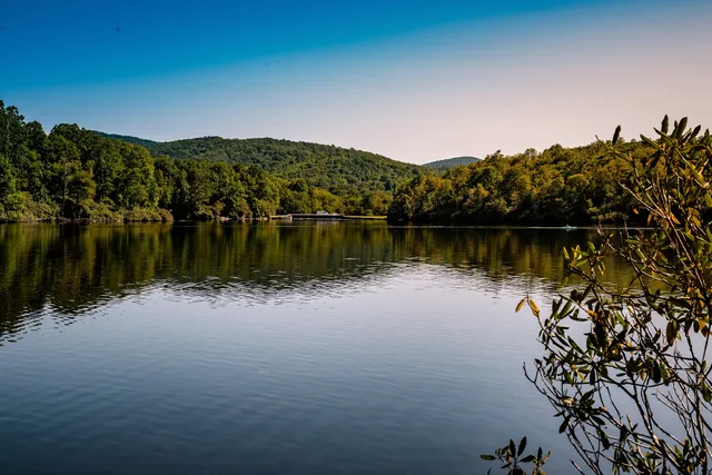
Price Lake
4.8
(70)
Open 24 hours
Click for details
US Price Park Blue Ridge Pky
4.6
(4)
Open 24 hours
Click for details
Nearby local services of Boone Fork Trail
Price Lake
Price Lake Trail
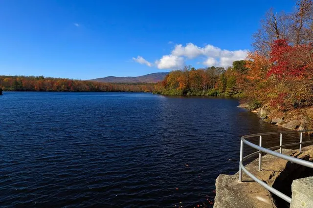
Price Lake
4.8
(58)
Click for details
Price Lake Trail
4.6
(8)
Click for details