Hite Cove Trail things to do, attractions, restaurants, events info and trip planning
Basic Info
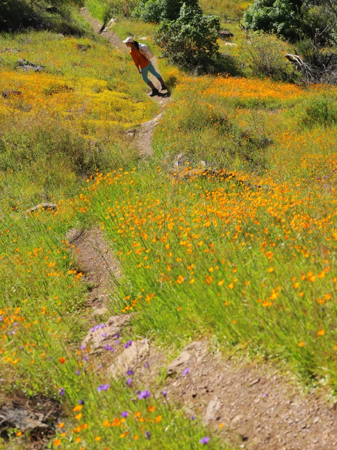
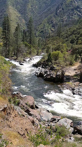
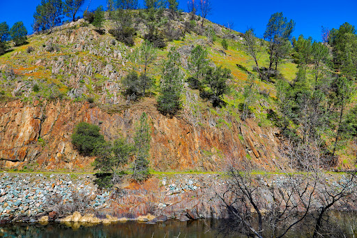
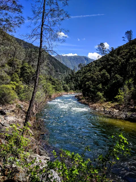
Hite Cove Trail
4938 Hites Cove Trail, El Portal, CA 95318
4.5(44)
Open until 12:00 AM
Save
spot
spot
Ratings & Description
Info
Outdoor
Adventure
Scenic
Pet friendly
Off the beaten path
attractions: , restaurants: , local businesses:
Open hoursSee all hours
FriOpen 24 hoursOpen
Plan your stay

Pet-friendly Hotels in Oakhurst
Find a cozy hotel nearby and make it a full experience.

Affordable Hotels in Oakhurst
Find a cozy hotel nearby and make it a full experience.

The Coolest Hotels You Haven't Heard Of (Yet)
Find a cozy hotel nearby and make it a full experience.

Trending Stays Worth the Hype in Oakhurst
Find a cozy hotel nearby and make it a full experience.
Reviews
Live events

Explore Yosemites Sierra Cider Orchard
Fri, Feb 27 • 3:00 PM
Mariposa, California, 95338
View details

Yosemite National Park - One Way Trip
Fri, Feb 27 • 6:20 AM
478 Post St, San Francisco, 94102
View details