Hopeton Earthworks things to do, attractions, restaurants, events info and trip planning
Basic Info
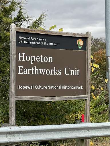
Hopeton Earthworks
990 Hopetown Rd, Chillicothe, OH 45601
4.5(54)
Closed
Save
spot
spot
Ratings & Description
Info
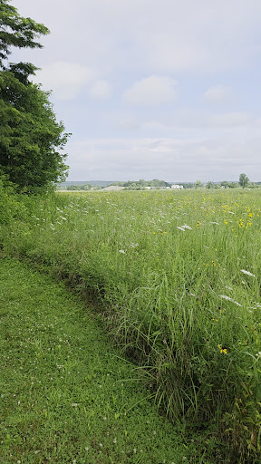
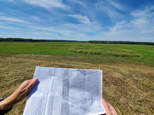
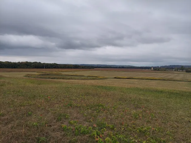
The Hopeton Earthworks are an Ohio Hopewell culture archaeological site consisting of mounds and earthwork enclosures. It is located on the eastern bank of the Scioto River just north of Chillicothe in Ross County, Ohio, about 1 mile east of the Mound City Group and Shriver Circle on a terrace of the Scioto River.
Cultural
Outdoor
Scenic
Family friendly
attractions: , restaurants: Whit's Frozen Custard of Chillicothe, Crazy Dogs Grill, Julio's Pizzeria, Cocktail Lounge, local businesses: Underground Card Zone, Tractor Supply Co., Saraee's General Store LLC
Phone
(740) 774-1126
Website
nps.gov
Open hoursSee all hours
Sat7 AM - 8 PMClosed
Plan your stay

Pet-friendly Hotels in Ohio
Find a cozy hotel nearby and make it a full experience.

Affordable Hotels in Ohio
Find a cozy hotel nearby and make it a full experience.

The Coolest Hotels You Haven't Heard Of (Yet)
Find a cozy hotel nearby and make it a full experience.

Trending Stays Worth the Hype in Ohio
Find a cozy hotel nearby and make it a full experience.
Reviews
Live events

Galantines High Tea
Sun, Feb 15 • 6:00 PM
107 East 2nd Street Chillicothe, OH 45601
View details

The Funny Together Tour - Clean Comedy Show - Chillicothe, OH
Fri, Feb 20 • 7:00 PM
14000 Ohio 104 Chillicothe, OH 45601
View details

Winter Birdwatching 101
Sat, Feb 14 • 8:00 AM
300 Ballard Avenue Williamsport, OH 43164
View details
Nearby restaurants of Hopeton Earthworks
Whit's Frozen Custard of Chillicothe
Crazy Dogs Grill
Julio's Pizzeria
Cocktail Lounge
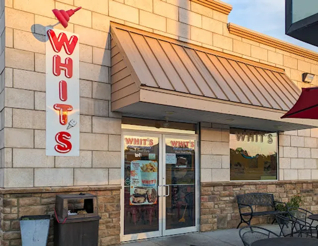
Whit's Frozen Custard of Chillicothe
4.6
(277)
$
Closed
Click for details
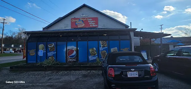
Crazy Dogs Grill
4.6
(409)
$
Closed
Click for details

Julio's Pizzeria
4.8
(5)
$
Closed
Click for details

Cocktail Lounge
5.0
(2)
Click for details
Nearby local services of Hopeton Earthworks
Underground Card Zone
Tractor Supply Co.
Saraee's General Store LLC
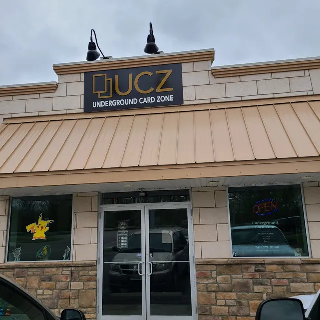
Underground Card Zone
4.8
(53)
Click for details
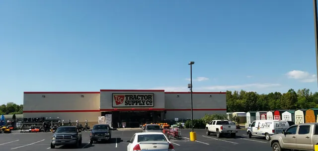
Tractor Supply Co.
4.3
(190)
Click for details
Saraee's General Store LLC
3.3
(3)
Click for details