Raven Rock State Nature Preserve things to do, attractions, restaurants, events info and trip planning
Basic Info
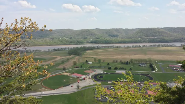
Raven Rock State Nature Preserve
52 Old River Rd, West Portsmouth, OH 45663
4.7(34)
Open until 12:00 AM
Save
spot
spot
Ratings & Description
Info
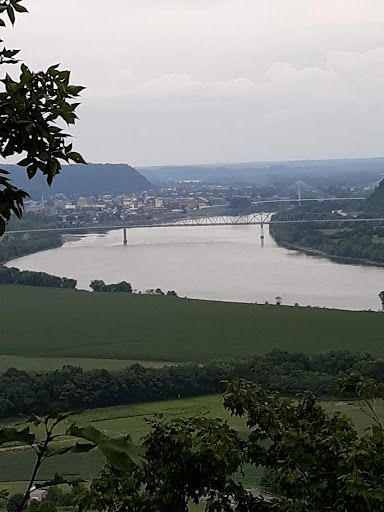
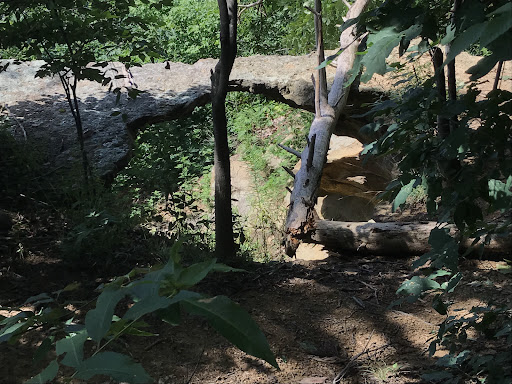
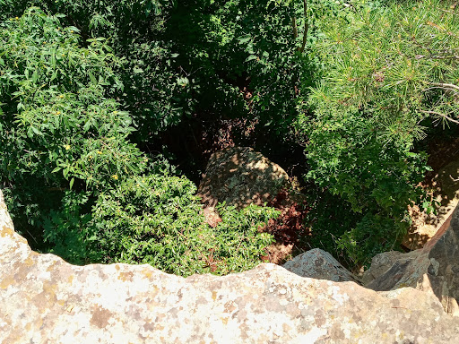
Outdoor
Adventure
Scenic
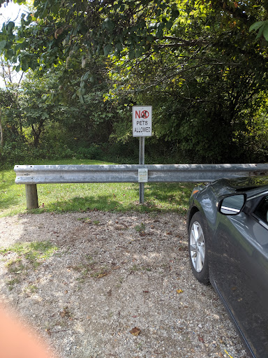
Pet friendly
Off the beaten path
attractions: Earl Thomas Conley Riverside Park, restaurants: , local businesses:
Website
ohiodnr.gov
Open hoursSee all hours
Mon8 AM - 5 PMOpen
Plan your stay

Pet-friendly Hotels in Ohio
Find a cozy hotel nearby and make it a full experience.

Affordable Hotels in Ohio
Find a cozy hotel nearby and make it a full experience.

The Coolest Hotels You Haven't Heard Of (Yet)
Find a cozy hotel nearby and make it a full experience.

Trending Stays Worth the Hype in Ohio
Find a cozy hotel nearby and make it a full experience.
Reviews
Live events

Current and Former A-Plant Workers UEWH Reunion Bash
Fri, Feb 27 • 11:00 AM
940 2nd Street Portsmouth, OH 45662
View details

Bourbon Tasting
Sat, Feb 28 • 6:00 PM
526 2nd Street Portsmouth, OH 45662
View details
Nearby attractions of Raven Rock State Nature Preserve
Earl Thomas Conley Riverside Park
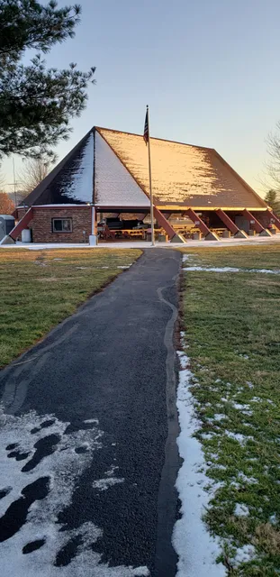
Earl Thomas Conley Riverside Park
4.6
(194)
Closed
Click for details