Mt. Constitution things to do, attractions, restaurants, events info and trip planning
Basic Info
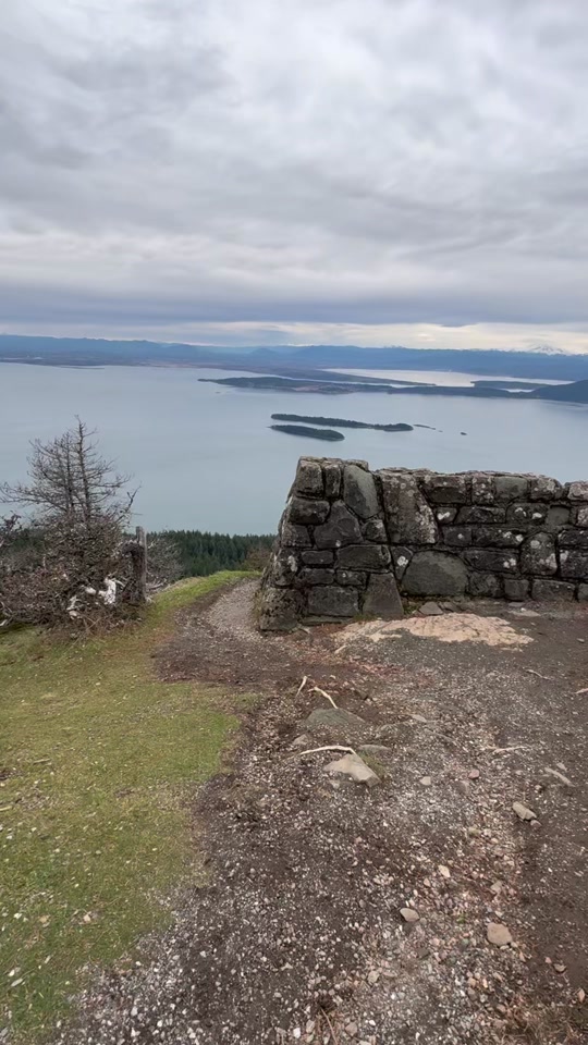
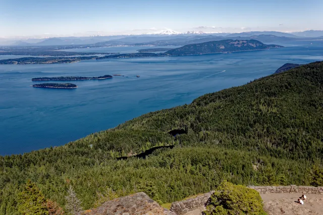
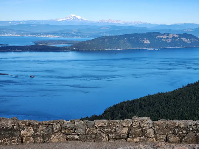
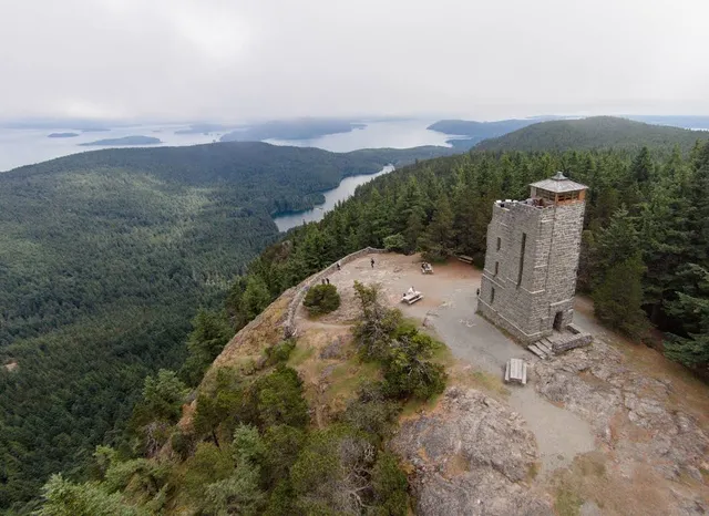
Mt. Constitution
Olga, WA 98279
4.9(216)
Open 24 hours
Save
spot
spot
Ratings & Description
Info
Outdoor
Adventure
Scenic
attractions: Ellsworth Storey's Tower, restaurants: , local businesses: Mount Constitution
Phone
(360) 902-8844
Website
parks.wa.gov
Plan your stay

Pet-friendly Hotels in Orcas Island
Find a cozy hotel nearby and make it a full experience.

Affordable Hotels in Orcas Island
Find a cozy hotel nearby and make it a full experience.

The Coolest Hotels You Haven't Heard Of (Yet)
Find a cozy hotel nearby and make it a full experience.

Trending Stays Worth the Hype in Orcas Island
Find a cozy hotel nearby and make it a full experience.
Reviews
Live events

Valentine’s Day Watercolor Paint & Sip with The Tipsy Toadstool
Sat, Feb 14 • 3:00 PM
2529 Meridian Street Bellingham, WA 98225
View details

Pod-ery Night With Salish Sea School
Fri, Feb 13 • 6:00 PM
Clayhouse Anacortes, 904 Commercial Avenue,Anacortes, Washington, United States
View details

The Bham Swing Jam 2026
Fri, Feb 13 • 6:30 PM
The Majestic, 1027 N Forest St, Bellingham, WA 98225-5509, United States
View details
Nearby attractions of Mt. Constitution
Ellsworth Storey's Tower
Ellsworth Storey's Tower
4.9
(124)
Open 24 hours
Click for details
Nearby local services of Mt. Constitution
Mount Constitution
Mount Constitution
4.9
(81)
Click for details