Wallowa Lake Trailhead things to do, attractions, restaurants, events info and trip planning
Basic Info
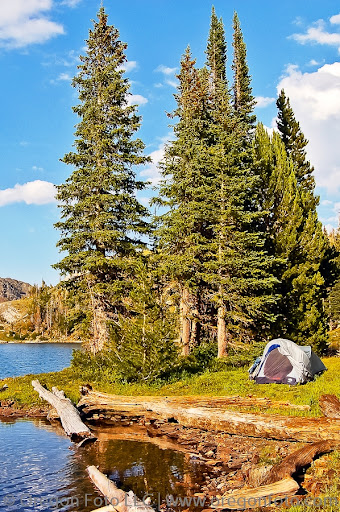
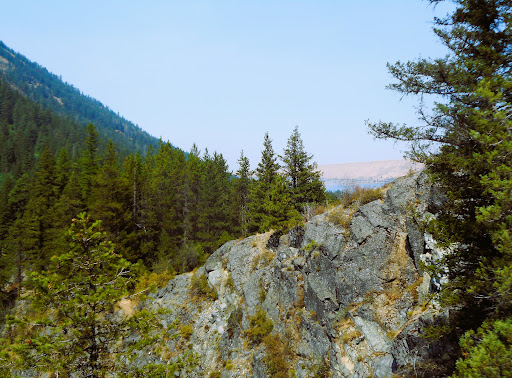
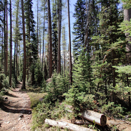
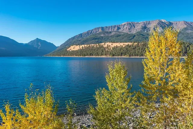
Wallowa Lake Trailhead
Power House Rd, Joseph, OR 97846
4.8(106)
Open 24 hours
Save
spot
spot
Ratings & Description
Info
Outdoor
Adventure
Scenic
Pet friendly
Family friendly
attractions: , restaurants: Khao Neaow Food Cart, local businesses: Wallowa Falls
Phone
(541) 523-6391
Website
fs.usda.gov
Plan your stay

Pet-friendly Hotels in Oregon
Find a cozy hotel nearby and make it a full experience.

Affordable Hotels in Oregon
Find a cozy hotel nearby and make it a full experience.

The Coolest Hotels You Haven't Heard Of (Yet)
Find a cozy hotel nearby and make it a full experience.

Trending Stays Worth the Hype in Oregon
Find a cozy hotel nearby and make it a full experience.
Reviews
Live events

Adult Mental Health First Aid
Thu, Feb 26 • 11:00 AM
606 Medical Parkway Enterprise, OR 97828
View details
Nearby restaurants of Wallowa Lake Trailhead
Khao Neaow Food Cart
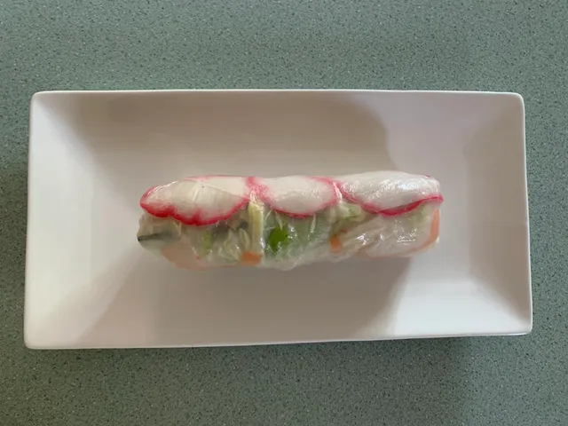
Khao Neaow Food Cart
4.8
(21)
$
Click for details
Nearby local services of Wallowa Lake Trailhead
Wallowa Falls
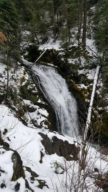
Wallowa Falls
5.0
(1)
Click for details