Marion Mountain Trailhead things to do, attractions, restaurants, events info and trip planning
Basic Info
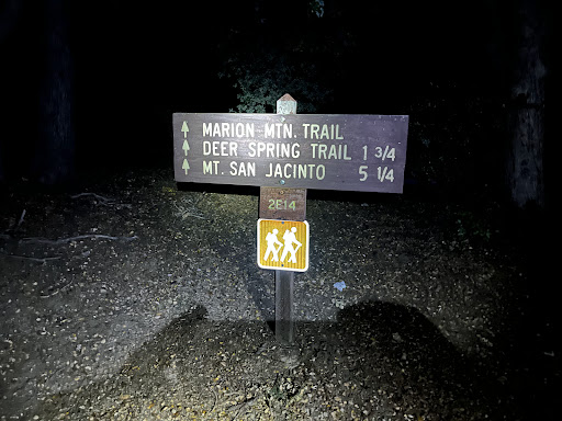
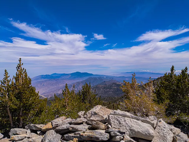
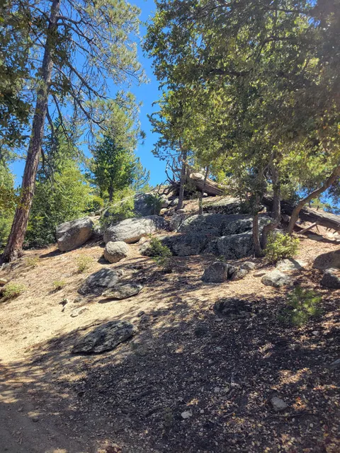
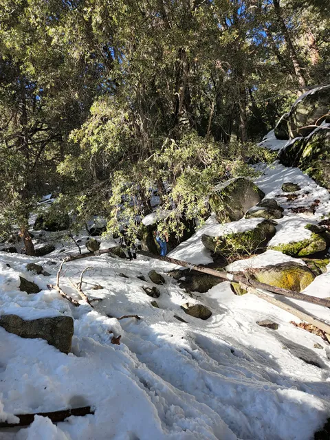
Marion Mountain Trailhead
Marion Mountain Trail 2E14, Idyllwild-Pine Cove, CA 92549
4.7(40)
Open until 12:00 AM
Save
spot
spot
Ratings & Description
Info
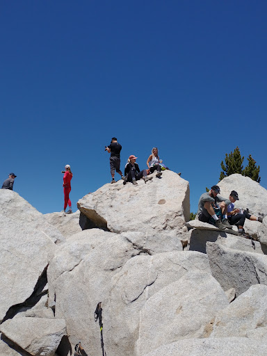
Outdoor
Adventure
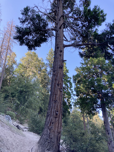
Scenic
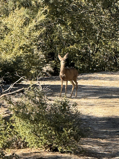
Pet friendly
Off the beaten path
attractions: Sawmill flats, restaurants: , local businesses: San Jacinto River North Fork - Wild & Scenic River, Dark Canyon
Website
fs.usda.gov
Open hoursSee all hours
WedOpen 24 hoursOpen
Plan your stay

Pet-friendly Hotels in Palm Springs
Find a cozy hotel nearby and make it a full experience.

Affordable Hotels in Palm Springs
Find a cozy hotel nearby and make it a full experience.

The Coolest Hotels You Haven't Heard Of (Yet)
Find a cozy hotel nearby and make it a full experience.

Trending Stays Worth the Hype in Palm Springs
Find a cozy hotel nearby and make it a full experience.
Reviews
Live events

PALM SPRINGS CINEMA FRANCAIS 2026
Thu, Feb 26 • 7:00 PM
2300 E Baristo Rd Palm Springs, CA 92262
View details
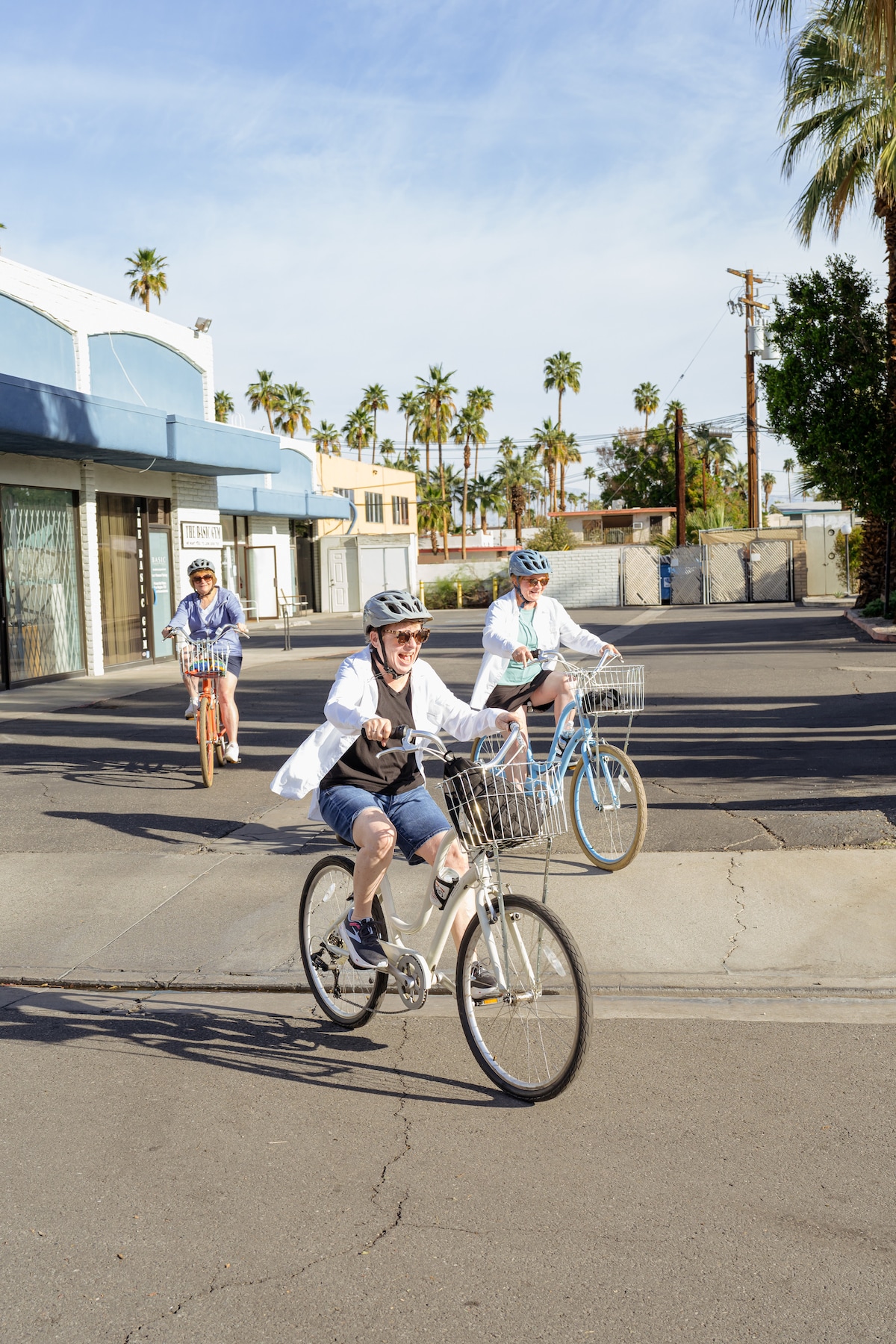
Ride through the iconic neighborhoods of the..
Fri, Feb 27 • 12:00 PM
Palm Springs, California, 92264
View details

Neurological Complications and HIV
Tue, Mar 3 • 6:00 PM
480 South Sunrise Way Palm Springs, CA 92262
View details
Nearby attractions of Marion Mountain Trailhead
Sawmill flats
Sawmill flats
5.0
(1)
Open 24 hours
Click for details
Nearby local services of Marion Mountain Trailhead
San Jacinto River North Fork - Wild & Scenic River
Dark Canyon
San Jacinto River North Fork - Wild & Scenic River
4.5
(16)
Click for details

Dark Canyon
4.5
(1)
Click for details