Monarch Pass Trailhead things to do, attractions, restaurants, events info and trip planning
Basic Info
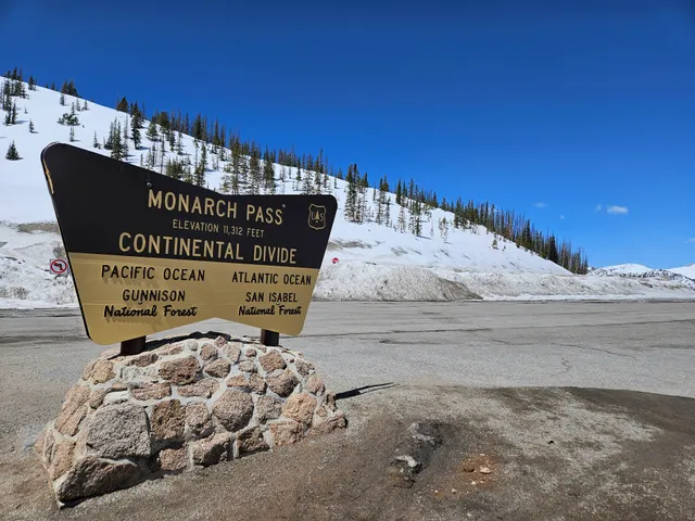
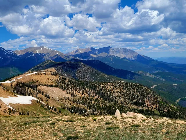
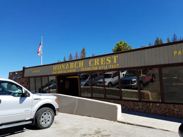
Monarch Pass Trailhead
Monarch, CO 81227
4.8(82)
Open 24 hours
Save
spot
spot
Ratings & Description
Info
Outdoor
Adventure
Scenic
Family friendly
Pet friendly
Off the beaten path
attractions: Monarch Crest Tram Ride, restaurants: , local businesses: Monarch at the Crest - Visitor Center, Monarch Pass, Monarch Pass, Monarch Pass
Phone
(719) 553-1400
Website
fs.usda.gov
Plan your stay

Pet-friendly Hotels in Poncha Springs
Find a cozy hotel nearby and make it a full experience.

Affordable Hotels in Poncha Springs
Find a cozy hotel nearby and make it a full experience.

The Coolest Hotels You Haven't Heard Of (Yet)
Find a cozy hotel nearby and make it a full experience.

Trending Stays Worth the Hype in Poncha Springs
Find a cozy hotel nearby and make it a full experience.
Reviews
Live events

Beige Flags - An Improv Comedy show
Sat, Feb 21 • 6:00 PM
129 West 3rd Street Salida, CO 81201
View details

Process Art
Sun, Feb 22 • 12:30 PM
405 E Street, Salida, CO 81201
View details
Nearby attractions of Monarch Pass Trailhead
Monarch Crest Tram Ride
Monarch Crest Tram Ride
4.8
(25)
Open 24 hours
Click for details
Nearby local services of Monarch Pass Trailhead
Monarch at the Crest - Visitor Center
Monarch Pass
Monarch Pass
Monarch Pass
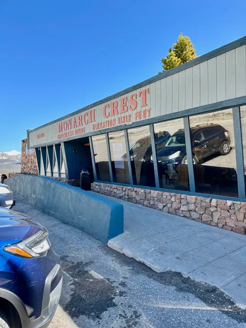
Monarch at the Crest - Visitor Center
4.7
(338)
Click for details
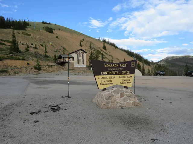
Monarch Pass
4.7
(128)
Click for details
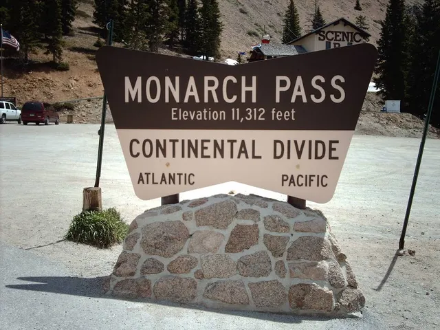
Monarch Pass
4.7
(109)
Click for details
Monarch Pass
4.7
(14)
Click for details