San Angelo State Park things to do, attractions, restaurants, events info and trip planning
Basic Info
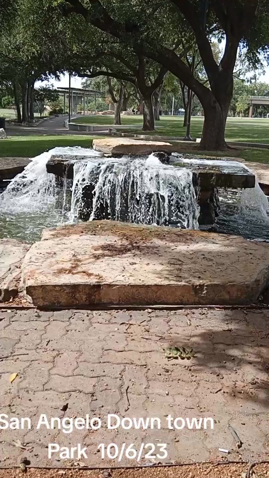
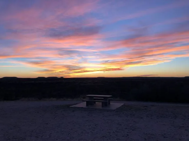
San Angelo State Park
362 FM 2288, San Angelo, TX 76901
4.4(668)
Closed

tickets
Save
spot
spot
Ratings & Description
Info
Outdoor
Adventure
Scenic
Family friendly
Pet friendly
attractions: , restaurants: , local businesses:
Phone
(325) 949-4757
Website
tpwd.texas.gov
Open hoursSee all hours
Sun8:30 AM - 4:30 PMClosed
Plan your stay

Pet-friendly Hotels in San Angelo
Find a cozy hotel nearby and make it a full experience.

Affordable Hotels in San Angelo
Find a cozy hotel nearby and make it a full experience.

The Coolest Hotels You Haven't Heard Of (Yet)
Find a cozy hotel nearby and make it a full experience.

Trending Stays Worth the Hype in San Angelo
Find a cozy hotel nearby and make it a full experience.
Reviews
Live events

Ram Club Luncheon - Feb. 25
Wed, Feb 25 • 12:00 PM
Legrand Alumni and Visitors Center, 1620 University Ave, San Angelo, TX 76904-5170, United States
View details

APEX Essentials Workshop - San Angelo
Wed, Feb 25 • 8:00 AM
2572 Southwest Blvd, 2572 Southwest Boulevard, San Angelo, United States
View details

Salesforce Platform App Builder Certification Training in San Angelo, TX
Wed, Feb 25 • 9:00 AM
Regus Business Center San Angelo, TX 76901
View details