Mass Audubon's High Ledges Wildlife Sanctuary things to do, attractions, restaurants, events info and trip planning
Basic Info
Mass Audubon's High Ledges Wildlife Sanctuary
Shelburne Falls, MA 01370
4.7(66)
Closed
Save
spot
spot
Ratings & Description
Info
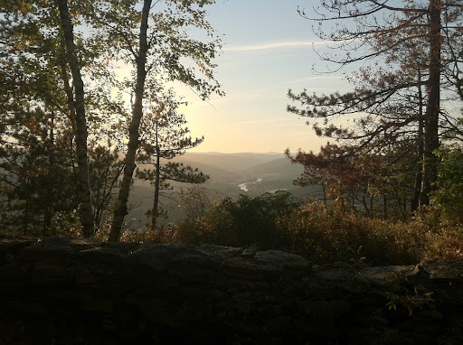
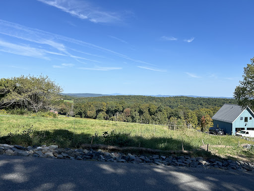
High Ledges is a wildlife sanctuary located in Shelburne, Massachusetts. The 587-acre property, located on the northern portion of Massaemett Mountain, is owned by Massachusetts Audubon Society. One of the highlights of the sanctuary is the vista known as High Ledge.
Outdoor
Adventure
Scenic
Family friendly
Pet friendly
Off the beaten path
attractions: , restaurants: Davenport Maple Farm Restaurant, local businesses:
Phone
(978) 464-2712
Website
massaudubon.org
Open hoursSee all hours
Tue7 AM - 5 PMClosed
Plan your stay

Pet-friendly Hotels in Shelburne
Find a cozy hotel nearby and make it a full experience.

Affordable Hotels in Shelburne
Find a cozy hotel nearby and make it a full experience.

The Coolest Hotels You Haven't Heard Of (Yet)
Find a cozy hotel nearby and make it a full experience.

Trending Stays Worth the Hype in Shelburne
Find a cozy hotel nearby and make it a full experience.
Reviews
Live events

Skeleton Crewe- ft. Rob Barraco, Barry Sless, Stephen Inglis, Pete Sears & Jay Lane
Wed, Feb 25 • 8:00 PM
210 Main St, Brattleboro, VT, United States, Vermont 05301
View details

Stitch Circle
Thu, Feb 26 • 4:00 PM
91 Cowls Road Amherst, MA 01002
View details

Winter Art Workshops: Sculpting from the Figure (All Ages)
Thu, Feb 26 • 6:00 PM
45 Farmhouse Square, Brattleboro, VT, United States, Vermont 05301
View details
Nearby restaurants of Mass Audubon's High Ledges Wildlife Sanctuary
Davenport Maple Farm Restaurant

Davenport Maple Farm Restaurant
4.5
(58)
$
Click for details