Sunday Gulch Trailhead things to do, attractions, restaurants, events info and trip planning
Basic Info
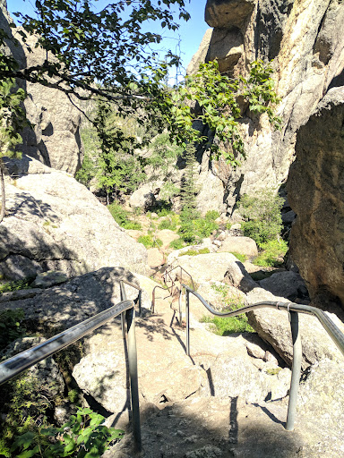
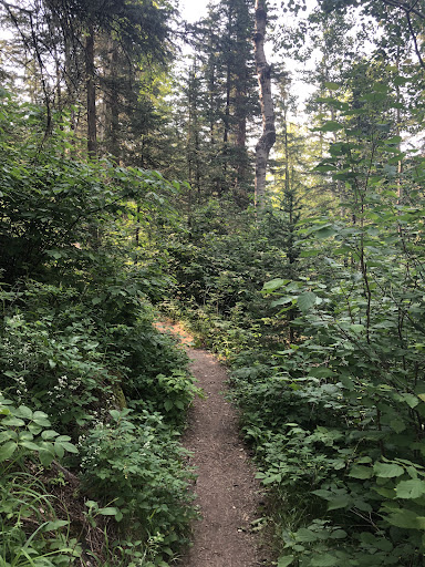
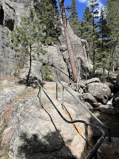
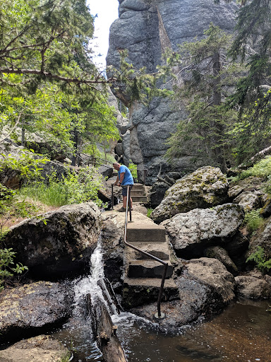
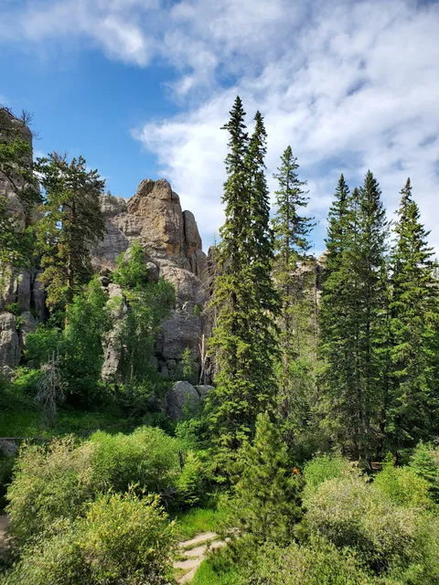
Sunday Gulch Trailhead
Custer, SD 57730, United States
4.9(171)
Open until 12:00 AM
Save
spot
spot
Ratings & Description
Info
Outdoor
Adventure
Scenic
Family friendly
Off the beaten path
attractions: Black Elk Peak Trailhead, Sylvan Lake Shore Trailhead, Sylvan Lake, Sunday Gulch Trail, Little Devil's Tower Trailhead, restaurants: , local businesses: Sylvan Lake, Little Devil's Tower Trailhead
Open hoursSee all hours
MonOpen 24 hoursOpen
Plan your stay

Pet-friendly Hotels in South Dakota
Find a cozy hotel nearby and make it a full experience.

Affordable Hotels in South Dakota
Find a cozy hotel nearby and make it a full experience.

The Coolest Hotels You Haven't Heard Of (Yet)
Find a cozy hotel nearby and make it a full experience.

Trending Stays Worth the Hype in South Dakota
Find a cozy hotel nearby and make it a full experience.
Reviews
Live events

Johnson Siding Area Meeting
Thu, Feb 26 • 4:30 PM
Rimrock Community Center, Blackhawk, South Dakota, Black Hawk, United States
View details

Hill City Sick-N-Twisted Brewery (Naughti Wines )
Sat, Feb 28 • 6:00 PM
23851 U.S. 385 Hill City, SD 57745
View details
Nearby attractions of Sunday Gulch Trailhead
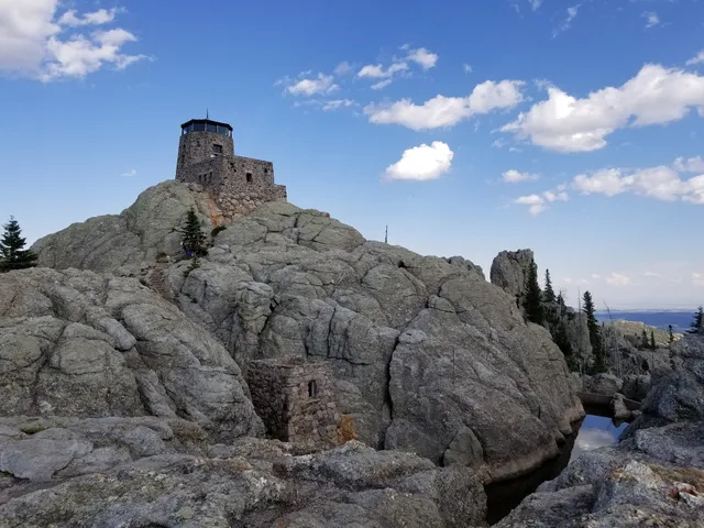
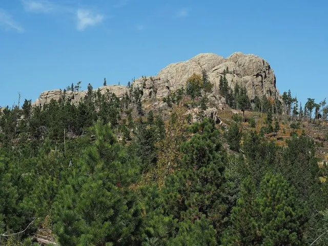
Black Elk Peak Trailhead
Sylvan Lake Shore Trailhead
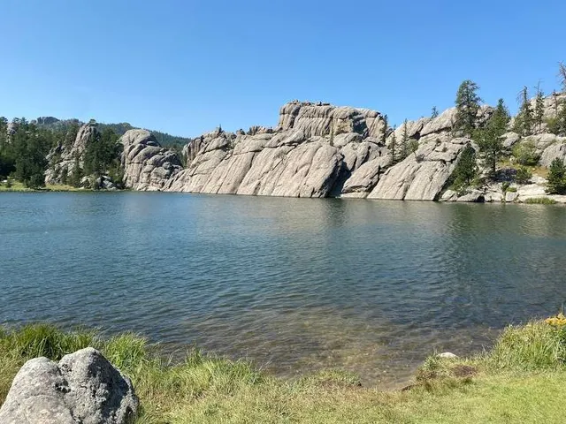
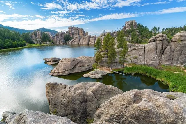
Sylvan Lake
Sunday Gulch Trail
Little Devil's Tower Trailhead
Black Elk Peak Trailhead
4.9
(421)
Open until 10:00 PM
Click for details
Sylvan Lake Shore Trailhead
4.8
(36)
Open 24 hours
Click for details
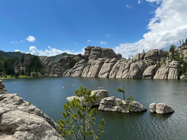
Sylvan Lake
4.9
(402)
Open 24 hours
Click for details
Sunday Gulch Trail
4.9
(16)
Open 24 hours
Click for details
Nearby local services of Sunday Gulch Trailhead
Sylvan Lake
Little Devil's Tower Trailhead
Sylvan Lake
4.8
(342)
Click for details
Little Devil's Tower Trailhead
4.9
(92)
Click for details