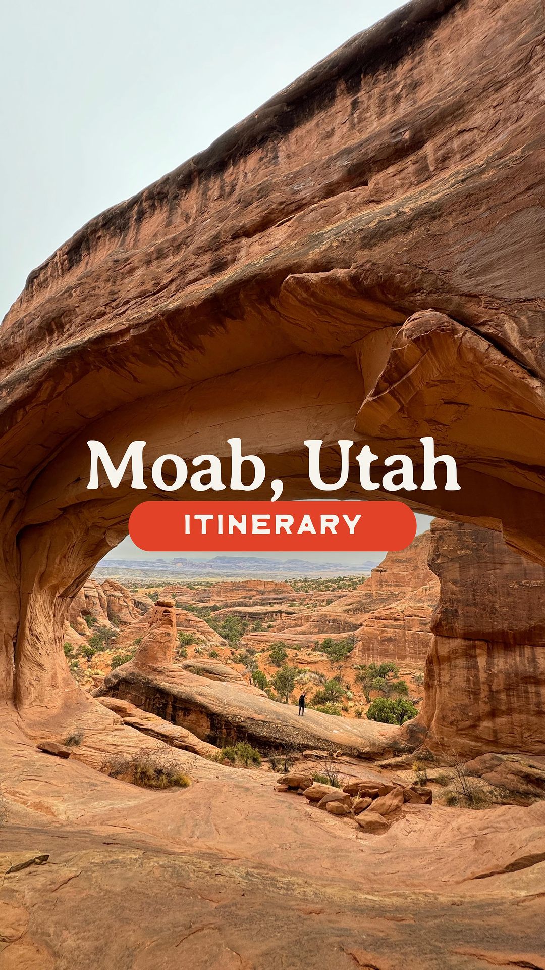
Needles District Canyonlands things to do, attractions, restaurants, events info and trip planning
Basic Info
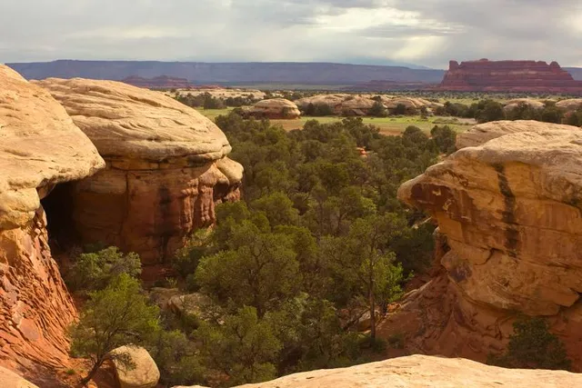
Needles District Canyonlands
Moab, UT 84532
4.9(293)
Closed
Save
spot
spot
Ratings & Description
Info
Outdoor
Adventure
Scenic
Off the beaten path
attractions: The Needles Visitor Center, restaurants: , local businesses:
Phone
(435) 259-4711
Website
nps.gov
Open hoursSee all hours
Sun8 AM - 5 PMClosed
Plan your stay

Pet-friendly Hotels in Spanish Valley
Find a cozy hotel nearby and make it a full experience.

Affordable Hotels in Spanish Valley
Find a cozy hotel nearby and make it a full experience.

The Coolest Hotels You Haven't Heard Of (Yet)
Find a cozy hotel nearby and make it a full experience.

Trending Stays Worth the Hype in Spanish Valley
Find a cozy hotel nearby and make it a full experience.
Reviews
Nearby attractions of Needles District Canyonlands
The Needles Visitor Center

The Needles Visitor Center
4.7
(167)
Closed
Click for details