Fall Branch Falls things to do, attractions, restaurants, events info and trip planning
Basic Info
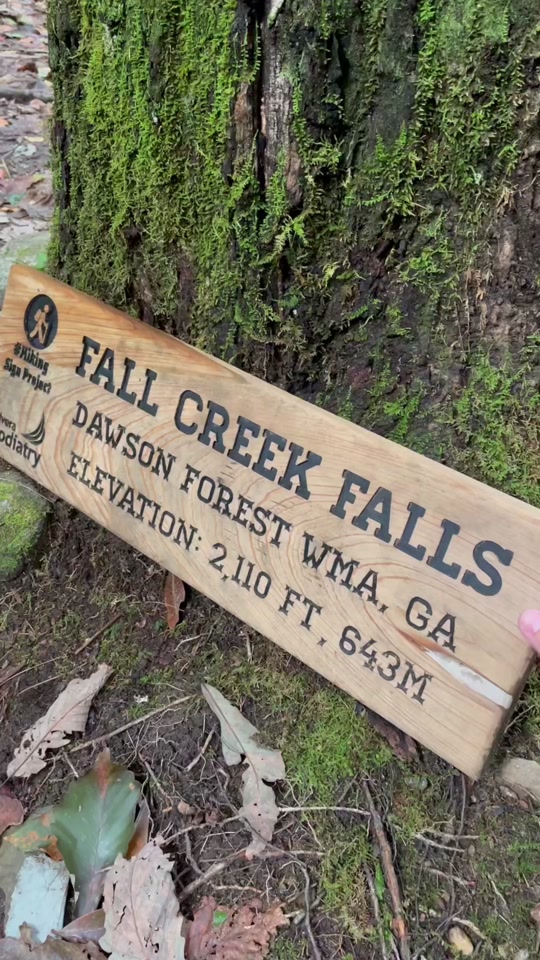
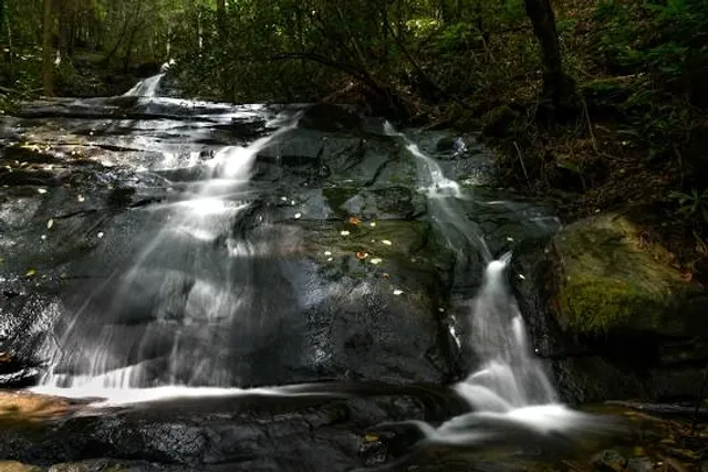
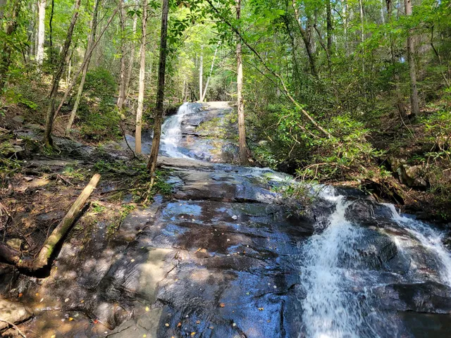
Fall Branch Falls
Stanley Creek Rd, Cherry Log, GA 30522
4.6(640)
Open 24 hours
Save
spot
spot
Ratings & Description
Info
Outdoor
Adventure
Scenic
Family friendly
Pet friendly
attractions: Fall Branch Falls Trailhead, restaurants: , local businesses:
Website
blueridgemountains.com
Plan your stay

Pet-friendly Hotels in Talking Rock
Find a cozy hotel nearby and make it a full experience.

Affordable Hotels in Talking Rock
Find a cozy hotel nearby and make it a full experience.

The Coolest Hotels You Haven't Heard Of (Yet)
Find a cozy hotel nearby and make it a full experience.

Trending Stays Worth the Hype in Talking Rock
Find a cozy hotel nearby and make it a full experience.
Reviews
Live events

Rick Stone at Fire & Ice Chilli Cook Off Festival in Blue RIdge, Ga
Sat, Feb 14 • 12:00 PM
Fire And Ice -- Chili Cookoff And Ice Sculpting, Blue Ridge, United States
View details

valentine’s Day ride
Sat, Feb 14 • 9:00 AM
319 Hells Hollow Rd., Blue Ridge GA 30513, 319 Hells Hollow Rd, Blue Ridge, GA 30513-3005, United States
View details

Cook & Dine with Chef in Scenic Appalachian Barn
Sat, Feb 14 • 10:30 AM
Ellijay, Georgia, 30540
View details
Nearby attractions of Fall Branch Falls
Fall Branch Falls Trailhead
Fall Branch Falls Trailhead
4.7
(150)
Open 24 hours
Click for details