Lower Mount Cammerer Trailhead things to do, attractions, restaurants, events info and trip planning
Basic Info
Lower Mount Cammerer Trailhead
Cosby Campground Rd B, Cosby, TN 37722
4.8(43)
Open 24 hours
Save
spot
spot
Ratings & Description
Info
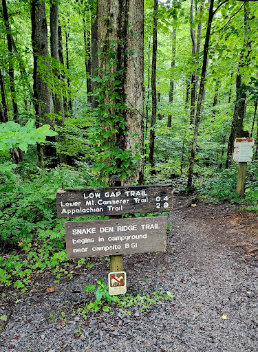
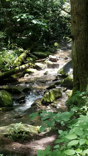
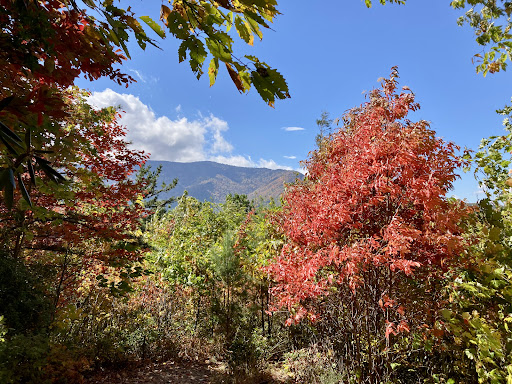
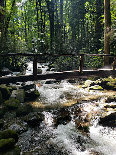
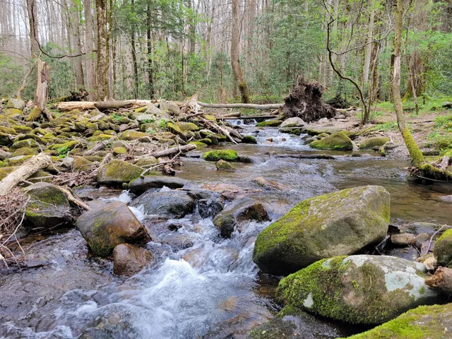
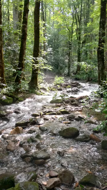
The Lower Mount Cammerer Trail is an American hiking trail, in the Great Smoky Mountains National Park of Cocke County, Tennessee.
Outdoor
Adventure
Scenic
Pet friendly
Off the beaten path
attractions: Cosby Nature Trail, restaurants: , local businesses: Hen Wallow Falls
Phone
(423) 487-2683
Website
nps.gov
Plan your stay

Pet-friendly Hotels in Tennessee
Find a cozy hotel nearby and make it a full experience.

Affordable Hotels in Tennessee
Find a cozy hotel nearby and make it a full experience.

The Coolest Hotels You Haven't Heard Of (Yet)
Find a cozy hotel nearby and make it a full experience.

Trending Stays Worth the Hype in Tennessee
Find a cozy hotel nearby and make it a full experience.
Reviews
Live events
Hikes with Mike
Fri, Feb 27 • 12:00 PM
Hartford, Tennessee, 37753
View details

Utv Adventure in the Smoky Mountains
Sat, Feb 28 • 10:00 AM
Maggie Valley, North Carolina, 28751
View details

The Ultimate Wine, Shine & Bourbon Experience
Wed, Feb 25 • 5:00 PM
Gatlinburg, Tennessee, 37738
View details
Nearby attractions of Lower Mount Cammerer Trailhead
Cosby Nature Trail
Cosby Nature Trail
4.6
(8)
Open 24 hours
Click for details
Nearby local services of Lower Mount Cammerer Trailhead
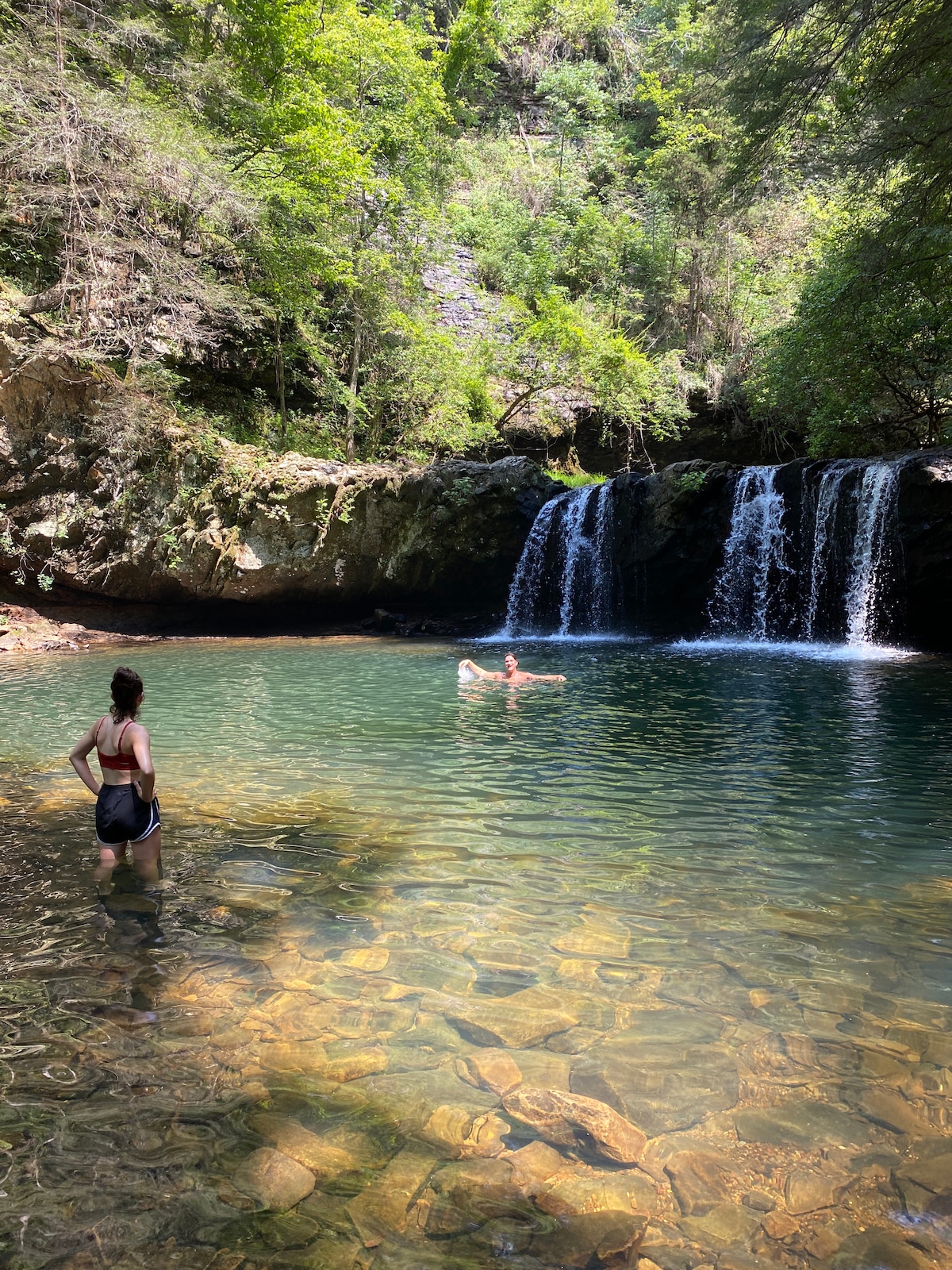
Hen Wallow Falls

Hen Wallow Falls
4.7
(63)
Click for details