Munson Creek Falls State Park things to do, attractions, restaurants, events info and trip planning

Basic Info
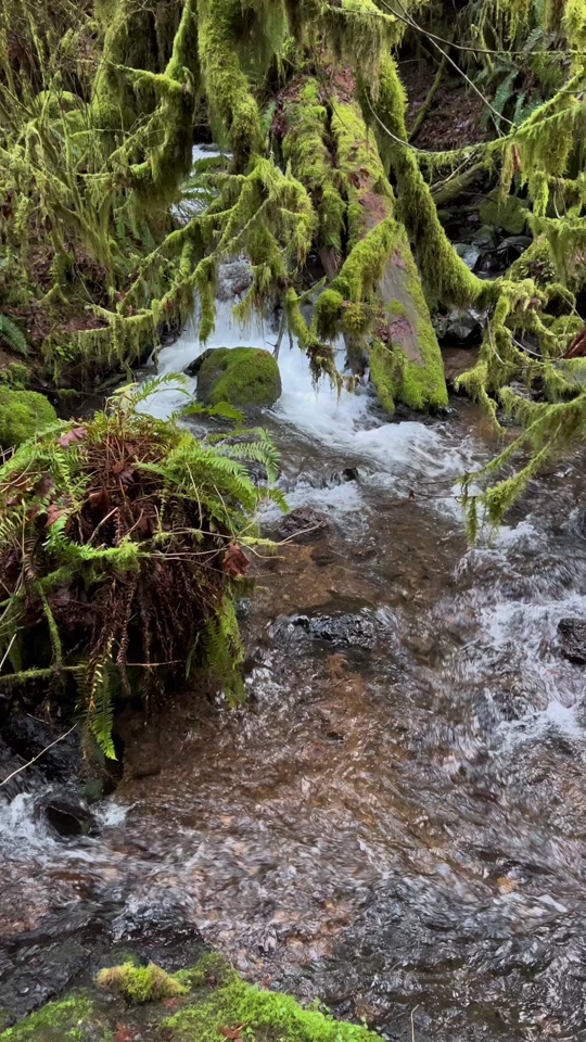
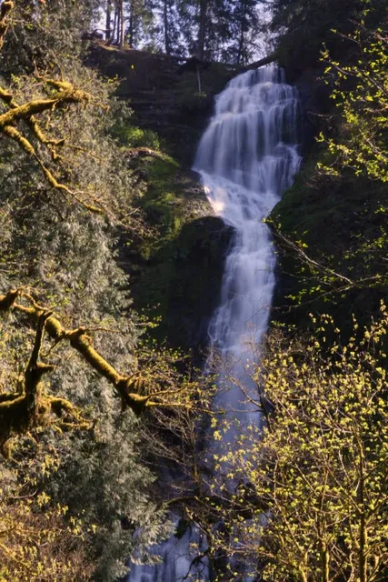
Munson Creek Falls State Park
Munson Cr, Rd, 6400-6200 Munson Creek Rd, Tillamook, OR 97141
4.6(349)
Closed
Save
spot
spot
Ratings & Description
Info
attractions: Munson Creek Falls, restaurants: , local businesses: Munson Creek Falls State Natural Site
Phone
(800) 551-6949
Website
oregonstateparks.org
Open hoursSee all hours
Fri8 AM - 8 PMClosed
Plan your stay

Pet-friendly Hotels in Tillamook
Find a cozy hotel nearby and make it a full experience.

Affordable Hotels in Tillamook
Find a cozy hotel nearby and make it a full experience.

The Coolest Hotels You Haven't Heard Of (Yet)
Find a cozy hotel nearby and make it a full experience.

Trending Stays Worth the Hype in Tillamook
Find a cozy hotel nearby and make it a full experience.
Reviews
Live events

Potting Party at TEP Nursery
Fri, Feb 20 • 10:00 AM
6820 Barracks Circle Tillamook, OR 97141
View details

Bay to Basin Speaker Series
Thu, Feb 26 • 5:00 PM
2106 2nd Street Tillamook, OR 97141
View details

Potting Party at TEP Nursery
Fri, Feb 20 • 10:00 AM
6820 Barracks Circle Tillamook, Oregon 97141
View details
Nearby attractions of Munson Creek Falls State Park
Munson Creek Falls
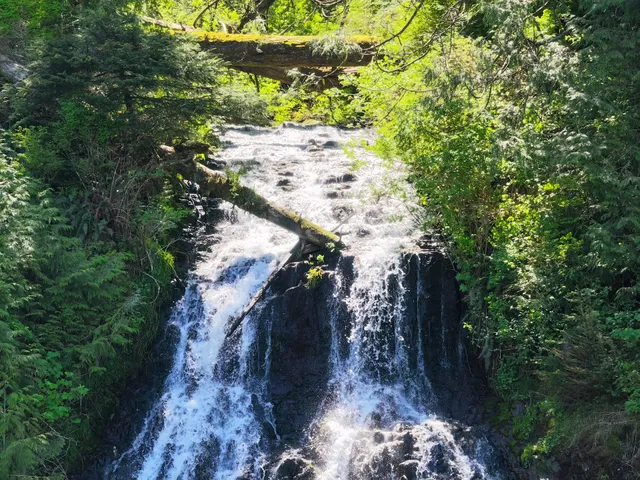
Munson Creek Falls
4.5
(38)
Open until 12:00 AM
Click for details
Nearby local services of Munson Creek Falls State Park
Munson Creek Falls State Natural Site
Munson Creek Falls State Natural Site
4.6
(77)
Click for details