Nimham Mountain Multiple Use Area things to do, attractions, restaurants, events info and trip planning
Basic Info
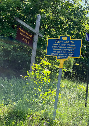
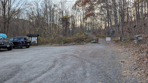
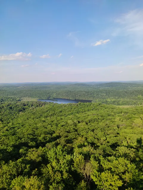
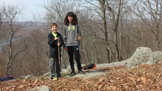
Nimham Mountain Multiple Use Area
Gipsy Trail Rd, Carmel Hamlet, NY 10512, United States
4.6(114)
Open 24 hours
Save
spot
spot
Ratings & Description
Info
Outdoor
Adventure
Scenic
Off the beaten path
Pet friendly
attractions: Ninham Mountain Fire Tower, restaurants: , local businesses: Nimham Mountain Multiple Use Area, Green Chimneys, Clearpool Campus
Phone
+1 845-256-3013
Website
dec.ny.gov
Plan your stay

Pet-friendly Hotels in Town of Kent
Find a cozy hotel nearby and make it a full experience.

Affordable Hotels in Town of Kent
Find a cozy hotel nearby and make it a full experience.

The Coolest Hotels You Haven't Heard Of (Yet)
Find a cozy hotel nearby and make it a full experience.

Trending Stays Worth the Hype in Town of Kent
Find a cozy hotel nearby and make it a full experience.
Reviews
Live events

Black Box Chronicles - Dramatic Disturbances
Fri, Feb 27 • 7:00 PM
1701 Main Street Peekskill, NY 10566
View details

Open Mic Night - Hosted by Bethel CT Pride & Molten Java
Thu, Feb 26 • 7:00 PM
213 Greenwood Avenue Bethel, CT 06801
View details

Whip & Sip: Scent Your Own Body Butter
Sun, Mar 1 • 3:00 PM
201 South Division Street Peekskill, NY 10566
View details
Nearby attractions of Nimham Mountain Multiple Use Area
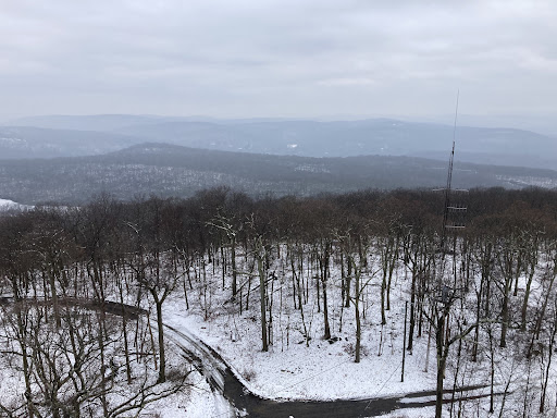
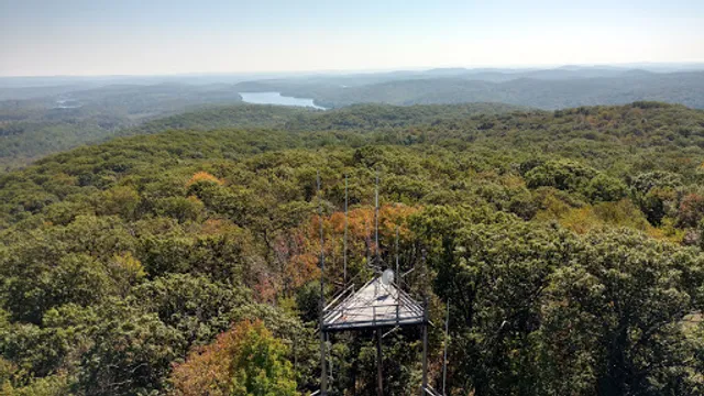
Ninham Mountain Fire Tower
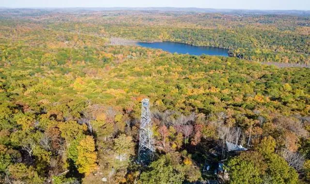
Ninham Mountain Fire Tower
4.8
(111)
Open until 12:00 AM
Click for details
Nearby local services of Nimham Mountain Multiple Use Area
Nimham Mountain Multiple Use Area
Green Chimneys, Clearpool Campus
Nimham Mountain Multiple Use Area
4.6
(107)
Click for details
Green Chimneys, Clearpool Campus
4.2
(24)
Click for details