Glory Hole things to do, attractions, restaurants, events info and trip planning
Basic Info
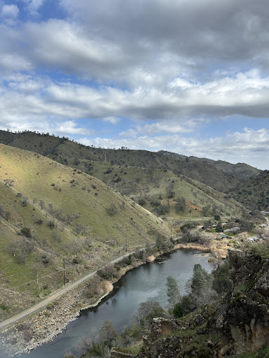
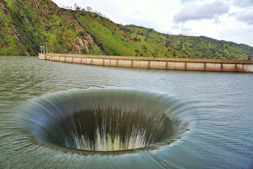
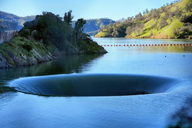
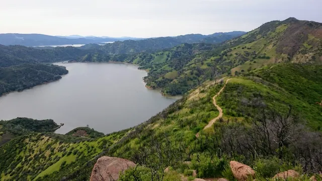
Glory Hole
Lake Berryessa, Napa, CA 94558, United States
4.6(375)
Open until 12:00 AM
Save
spot
spot
Ratings & Description
Info
Outdoor
Scenic
Family friendly
Off the beaten path
attractions: UC Davis - Stebbins Cold Canyon Natural Reserve, restaurants: , local businesses: Monticello dam
Phone
+1 707-966-2111
Website
usbr.gov
Open hoursSee all hours
SatOpen 24 hoursOpen
Plan your stay

Pet-friendly Hotels in Vacaville
Find a cozy hotel nearby and make it a full experience.

Affordable Hotels in Vacaville
Find a cozy hotel nearby and make it a full experience.

The Coolest Hotels You Haven't Heard Of (Yet)
Find a cozy hotel nearby and make it a full experience.

Trending Stays Worth the Hype in Vacaville
Find a cozy hotel nearby and make it a full experience.
Reviews
Live events

Nervous System Glow - Weekly Somatic Energy Healing Sessions
Tue, Feb 24 • 6:30 PM
301 Post Street Napa, CA 94559
View details

WINE WOMEN Presents: Happy Hour at Azur Tasting Lounge
Thu, Feb 26 • 5:30 PM
1014 Clinton Street Napa, CA 94559
View details
Cruise Napa in a vintage VW
Sat, Feb 21 • 10:30 AM
Napa, California, 94559
View details
Nearby attractions of Glory Hole
UC Davis - Stebbins Cold Canyon Natural Reserve
UC Davis - Stebbins Cold Canyon Natural Reserve
4.7
(93)
Open 24 hours
Click for details
Nearby local services of Glory Hole
Monticello dam
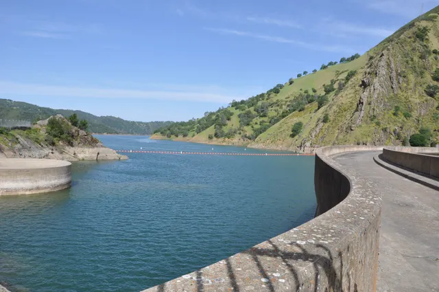
Monticello dam
4.7
(5)
Click for details