UC Davis - Stebbins Cold Canyon Natural Reserve things to do, attractions, restaurants, events info and trip planning
Basic Info
UC Davis - Stebbins Cold Canyon Natural Reserve
24875 CA-128, Winters, CA 95694
4.7(93)
Open 24 hours

tickets
Save
spot
spot
Ratings & Description
Info
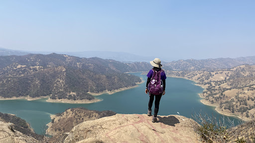
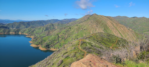
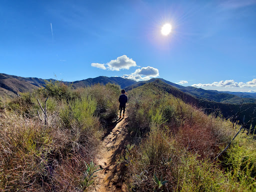
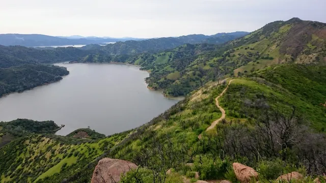
Stebbins Cold Canyon Reserve is a unit of the University of California Natural Reserve System and is administered by the University of California, Davis. It is within the Blue Ridge Berryessa Natural Area, in the Northern Inner California Coast Ranges.
Outdoor
Adventure
Scenic
Off the beaten path
Pet friendly
attractions: Glory Hole, Putah Creek State Wildlife Area, restaurants: , local businesses: Monticello dam
Website
naturalreserves.ucdavis.edu
Plan your stay

Pet-friendly Hotels in Vacaville
Find a cozy hotel nearby and make it a full experience.

Affordable Hotels in Vacaville
Find a cozy hotel nearby and make it a full experience.

The Coolest Hotels You Haven't Heard Of (Yet)
Find a cozy hotel nearby and make it a full experience.

Trending Stays Worth the Hype in Vacaville
Find a cozy hotel nearby and make it a full experience.
Reviews
Live events

Nervous System Glow - Weekly Somatic Energy Healing Sessions
Tue, Feb 24 • 6:30 PM
301 Post Street Napa, CA 94559
View details

WINE WOMEN Presents: Happy Hour at Azur Tasting Lounge
Thu, Feb 26 • 5:30 PM
1014 Clinton Street Napa, CA 94559
View details
Cruise Napa in a vintage VW
Sat, Feb 21 • 10:30 AM
Napa, California, 94559
View details
Nearby attractions of UC Davis - Stebbins Cold Canyon Natural Reserve
Glory Hole
Putah Creek State Wildlife Area
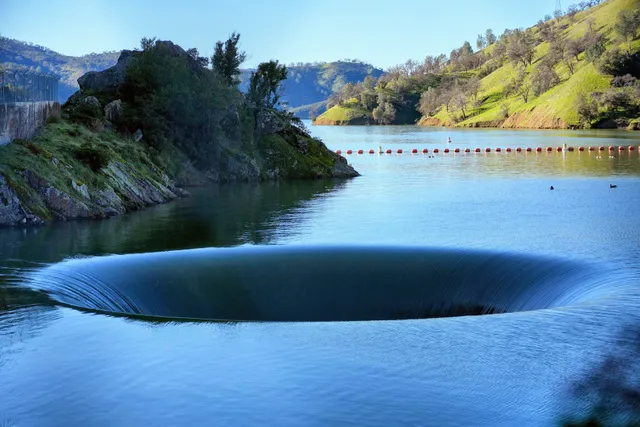
Glory Hole
4.6
(375)
Open until 12:00 AM
Click for details
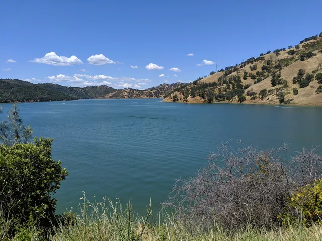
Putah Creek State Wildlife Area
4.6
(559)
Open 24 hours
Click for details
Nearby local services of UC Davis - Stebbins Cold Canyon Natural Reserve
Monticello dam
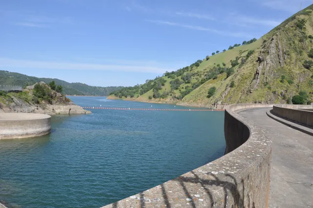
Monticello dam
4.7
(5)
Click for details