Granite Mountain Hotshots Memorial State Park things to do, attractions, restaurants, events info and trip planning
Basic Info
Granite Mountain Hotshots Memorial State Park
White Spar Hwy #89, Yarnell, AZ 85362
4.9(525)
Open until 12:00 AM
Save
spot
spot
Ratings & Description
Info
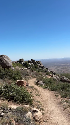
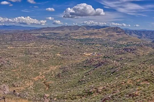
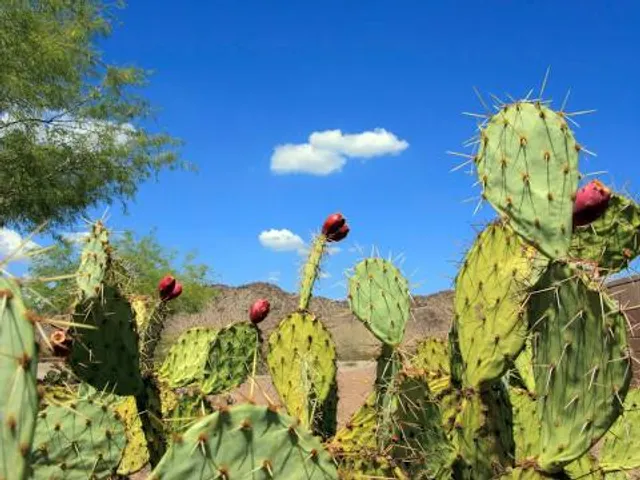
Granite Mountain Hotshots Memorial State Park is a state park near Yarnell, Arizona, created to memorialize the nineteen members of the Granite Mountain Hotshots who died there on June 30, 2013, while fighting the Yarnell Hill Fire. The park opened on November 30, 2016, and had over 18,000 visitors in its first year.
Outdoor
Cultural
Adventure
Scenic
Family friendly
Off the beaten path
attractions: Granite Mountain Hotshots Memorial Trailhead, restaurants: , local businesses:
Phone
(877) 697-2757
Website
azstateparks.com
Open hoursSee all hours
MonOpen 24 hoursOpen
Plan your stay

Pet-friendly Hotels in Wickenburg
Find a cozy hotel nearby and make it a full experience.

Affordable Hotels in Wickenburg
Find a cozy hotel nearby and make it a full experience.

The Coolest Hotels You Haven't Heard Of (Yet)
Find a cozy hotel nearby and make it a full experience.

Trending Stays Worth the Hype in Wickenburg
Find a cozy hotel nearby and make it a full experience.
Reviews
Live events

The Texas Tenors
Tue, Jan 27 • 5:00 PM
Del E. Webb Center For The Performing Arts - Wickenburg, 1090 S Vulture Mine Rd, Wickenburg, United States
View details

Wickenburg Grit & Glory Rodeo
Fri, Jan 30 • 4:00 PM
Everett Bowman Rodeo Arena, 935 Constellation Road, Wickenburg, United States
View details

Battle in the Burg CO-ED Softball Tournament
Sat, Jan 31 • 9:00 AM
3020 W Wickenburg Way, Wickenburg, AZ 85390, United States
View details
Nearby attractions of Granite Mountain Hotshots Memorial State Park
Granite Mountain Hotshots Memorial Trailhead
Granite Mountain Hotshots Memorial Trailhead
4.8
(36)
Open until 12:00 AM
Click for details