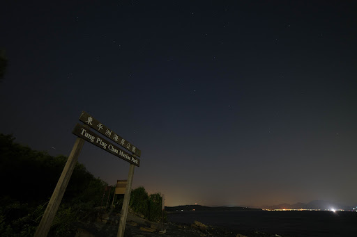
Tung Ping Chau is the farthest and wildest of Hong Kong outlying islands, being just 2 km off the mainland Chinese coast and Mirs Bay and around 27 km away by ferry from the Ma Liu Shui Pier near University MTR Station. This is a small crescent shaped island less than 1.2 sq. km yet it is one of Hong Kong's finest marine and geological locations, the reason most visit here today.
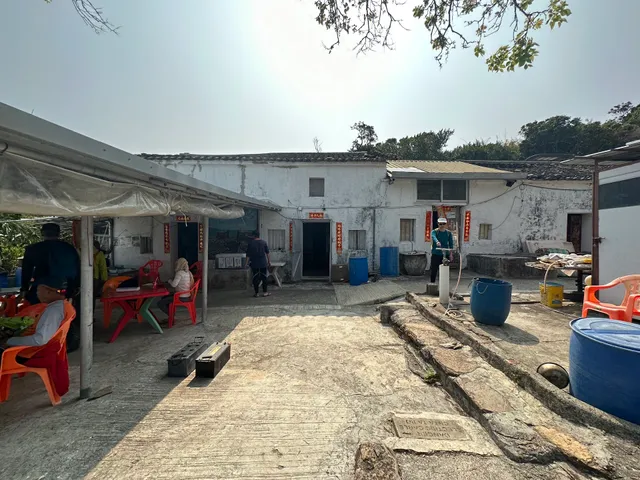
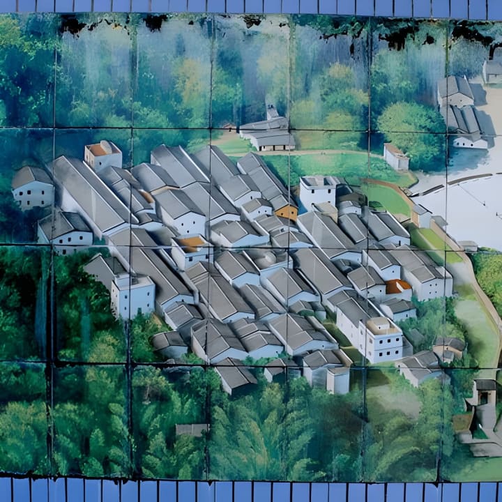
In the distant past the island had up to 3000 people and over 100 junk boats supporting a thriving fishing community. There were a handful of island villages with numerous hamlets some of which are several centuries old. By the 1970s, the villagers had mostly deserted their homes and migrated to the city (Hong Kong). Now these are little more than ghost towns, with hamlet ruins slowing being taken over by nature.
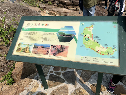
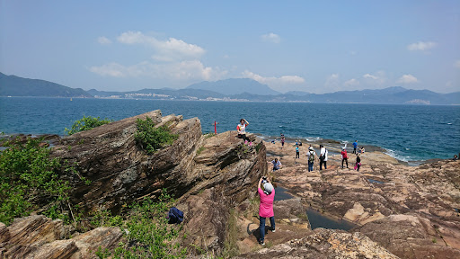
Today, most come to the island as weekend day-trippers from the city, eager to hike the 6.5 km loop trail and enjoy the remarkable geological land and rock formations seen along the coastline. The trail passes through some of the abandoned villages mentioned above. It includes stretches through grassy hillsides, at times with heavy vegetation, wooded sections and even a couple of bamboo forests. There are viewpoints and numerous stops to see the beaches and geological highlights along the way.
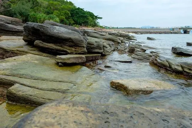
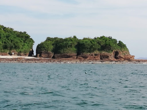
Highlights include the iron rock formations at A-Ma Wan Beach, the ancient Tin Hau Temple, the remarkable sedimentary towers (sea stacks) and wave-cut patterns lining the coastline at Lung Lok Shui. The shores of Pak Lap Wan and Chau Wei Kok offer more of these layered sedimentary formations. Another highlight is the fully formed sea abrasion canyon that you can walk through at Cam Keng Chau. These are rare geological features that form dramatic and beautiful scenery.
Visitors will find numerous places to take rest or have a picnic around the island. There are several public toilets on the east side of the island as well as in the village cafes setup around 500 metres from the Tung Ping Chau Pier, which links the island with the civilised world of Hong Kong. You will find signs, trail markers and information panels provided at each of the highlight stops.
Note : Public ferry service to Tung Ping Chau is available from Ma Liu Shui Pier near University MTR Station on Saturday (9am and 3pm) and Sunday (9am). It takes around 1.5 hours to travel the 27km distance to Tung Ping Chau. The ferry then returns from Tung Ping Chau to Ma Liu Shui Pier at 5.15pm (Sat and Sun). There are no daily sailings to Tung Ping Chau...
Read more