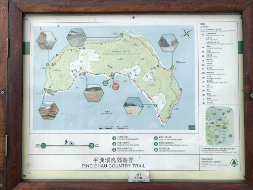
The Tung Ping Chau trail is around 6.5 km in distance and circles the outlying island of Tung Ping Chau. It is a fairly easy hike which is a mix of paved walkway and quick a bit of natural trail. It takes around 3-4 hours to complete with minimal stops or up to 5-6 hours if you take in the numerous geological points of interest and viewpoints along the route. Plenty of signs, maps and highlight information panels found throughout the trail.
Note: There is a shorter version of the trail that skips the far north of the island cutting across the island at Cham Keng Chau on the west coast back across to the main ferry pier.
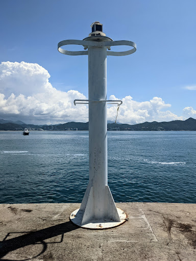
Note: To make your way to Tung Ping Chau for this particular hike, you will need to visit on the weekend and take the ferry from Ma Liu Shui Pier, 10 minute walk from University MTR Station. Sailings on only on Saturday (9am and 3pm) and Sunday (9am) and is around 1.5 hours to travel the 27km distance to Tung Ping Chau. The ferry returns from Tung Ping Chau to Ma Liu Shui Pier at 5.15pm (Sat and Sun). There are no daily sailings to Tung Ping Chau during weekdays.
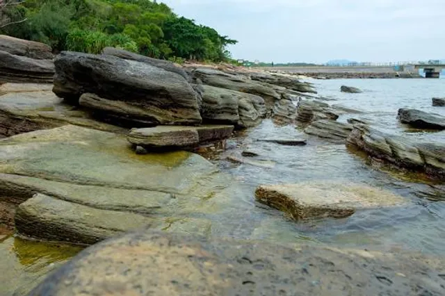
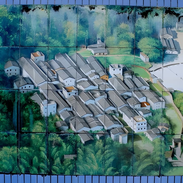
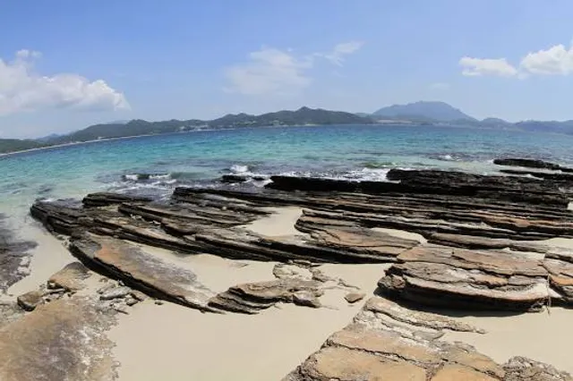
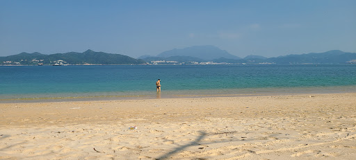
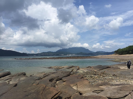
The Tung Ping Chau Trail passes through several abandoned villages with ruinous hamlets and a handful of highlight geological sites where you can view, walk upon and admire unique sedimentary rock formations that protrude from the Earth at various angles and form beautiful coastal scenes alongside the clean blue waters that surround the island. There are nice beachfronts, stretches of hillside with heavy vegetation, wooded areas and even patches of bamboo forrest that you will see.
Particular highlights along the Tung Ping Chau Trail include A Ma Wan Beach, the Tin Hau Temple and Kang Lau Shek where you see impressive sea stacks and Wave-cut sedimentary patterns. Lung Lok Shui, Pak Lap Wan and Chau Wei Kok have similar wave-cut patterns and rock formations. There is a neat sea abrasion canyon you can walk through at Cam Keng Chau as well.
There are picnic areas and several public toilet facilities situated on the east side of the island trail. A small village area just a few hundred metres from the main pier includes a couple of island cafes where you will also find toilets. This is a good location for a rest break and bite to eat if you fancy something while waiting for the 5.15pm afternoon ferry off of Tung Ping Chau.
Overall, this trail offers a great full day out of the city, particularly when the weather is clear and favourable. The hike is quite easy and the scenery is very rewarding. There are a surprising number of other hikers and day trippers that you will see throughout the day but they tend to spread around the island so it isn't too difficult to find quiet spots if you look for them. The biggest issue with this particular trail is that it is limited to weekend use due to the lack of weekday ferries out to...
Read more