Ha Ling Peak things to do, attractions, restaurants, events info and trip planning
Basic Info
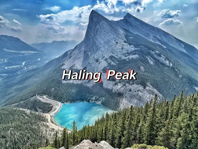
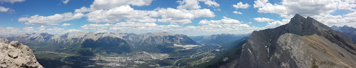
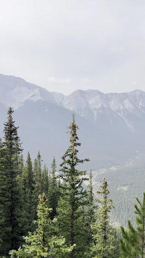
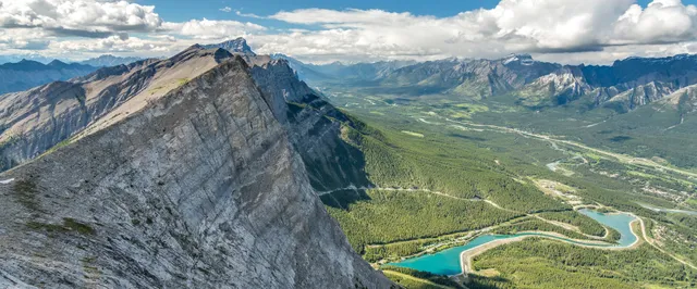
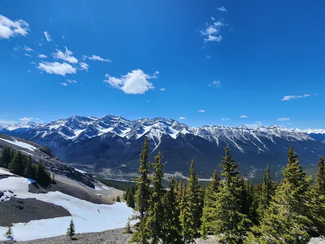
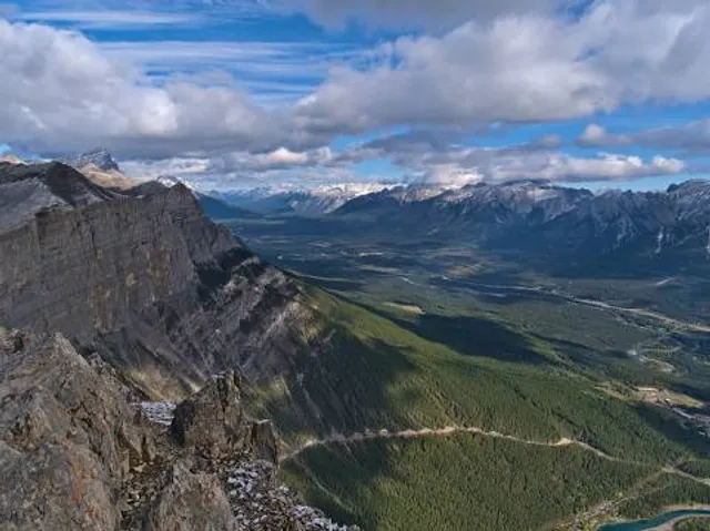
Ha Ling Peak
Kananaskis, AB T1W 2T5, Canada
4.8(170)
Save
spot
spot
Ratings & Description
Info
Outdoor
Adventure
Scenic
Off the beaten path
attractions: Ha Ling Peak, restaurants: , local businesses: Ha Ling Peak, Miner's Peak, Whitemans Pond
Plan your stay

Pet-friendly Hotels in Alberta
Find a cozy hotel nearby and make it a full experience.

Affordable Hotels in Alberta
Find a cozy hotel nearby and make it a full experience.

The Coolest Hotels You Haven't Heard Of (Yet)
Find a cozy hotel nearby and make it a full experience.

Trending Stays Worth the Hype in Alberta
Find a cozy hotel nearby and make it a full experience.
Reviews
Live events
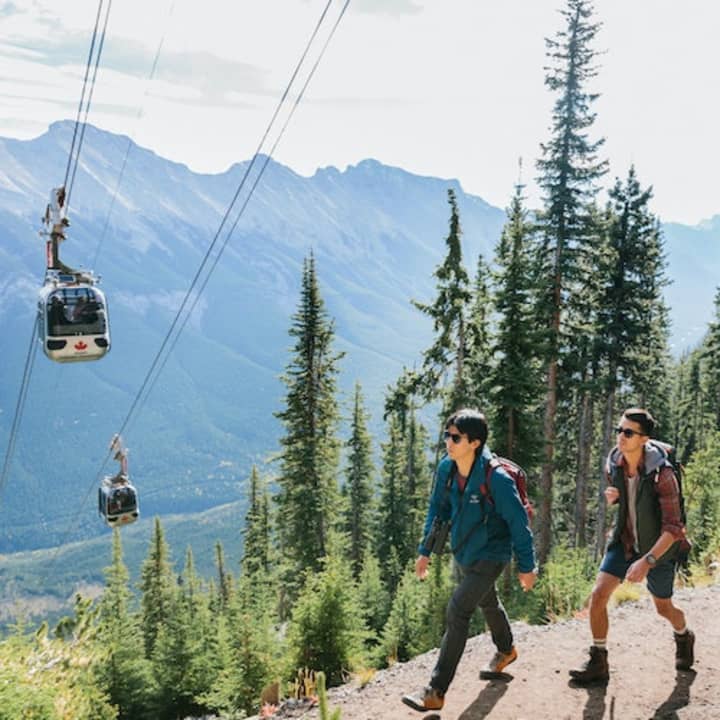
Banff Gondola on Sulphur Mountain: Entry Ticket
Fri, Feb 20 • 9:10 AM
100 Mountain Avenue, Banff, T1L 1B2
View details

Wilderness & wildlife hiking tour with naturalist
Fri, Feb 20 • 8:00 AM
Canmore, Alberta, T1W 1Y2, Canada
View details
Banff Nature Walk - 2hrs
Fri, Feb 20 • 9:00 AM
Banff, Alberta, T1L 1K2, Canada
View details
Nearby attractions of Ha Ling Peak
Ha Ling Peak
Ha Ling Peak
4.8
(71)
Open until 12:00 AM
Click for details
Nearby local services of Ha Ling Peak
Ha Ling Peak
Miner's Peak
Whitemans Pond
Ha Ling Peak
4.8
(137)
Click for details
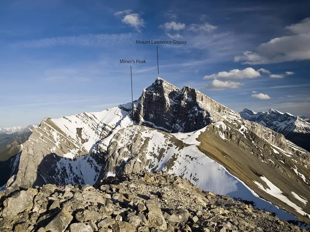
Miner's Peak
5.0
(8)
Click for details
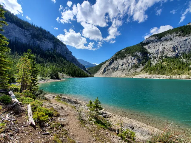
Whitemans Pond
4.7
(58)
Click for details